Curated OER
Science: Draining the Land - the Mississippi River
Students use topographic maps to identify parts of rivers. In addition, they discover gradient and predict changes in the channels caused by variations in water flow. Other activities include sketching a river model with a new channel...
Curated OER
Estimating Distances
Middle schoolers investigate distance measurement. In this middle school mathematics lesson, students find the average length of their pace and use their pace to measure various unknown distances in feet and miles. Middle...
Curated OER
Outlandish Landforms
Seventh graders examine landforms. For this world Geography lesson, 7th graders research and create a physical model of a chosen landform. They then draw a 2-d paper map of that model.
Curated OER
As the Bird Flies
Students investigate the properties of lines and congruent triangle theorems as well as apply geometric properties and relationships to real-world mathematical problems. Given two different scenarios, they examine maps that have been...
Curated OER
Arctic Microclimates
Students identify, measure, and average micro-climatic temperatures in a particular region. They draw a small-scale map of an area to be sampled (classroom, playground, park, backyard) and identify potential locations for...
Curated OER
Canada...a Visual Journey
Young scholars, in groups, research Canada's six natural regions (ecozones). They create a visual representation of each region on a large wall map of Canada and present it to the rest of the class.
Curated OER
Finding an Earthquake's Epicenter
High schoolers examine the process used to identify the epicenter of an earthquake. They identify the Richter scale and interpret a seismograph reading. They also view photographs of the aftermath of earthquakes.
Curated OER
Development Issues in the Northern Suburbs
Students demonstrate the ability to obtain geographic information from a variety of print and electronic sources. They use a variety of maps and data to identify and locate geographical features of Minnesota and Anoka County. in...
Curated OER
Canada...A Visual Journey
Students work together to analyze the six natural regions of Canada. Using this information, they create a visual representation of each region on a large wall map and present it to the class. They must identify five key points of each...
Curated OER
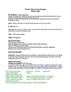
World Cities and the Olympics
Pupils examine the various cities in which Olympics have been held. Using a map, they describe the reasons why those cities were chosen and choose their own city for the Olympics and state the reasons why. They examine information sheets...
Curated OER
Earth Science: In Depth Look at Earthquakes
Young scholars engage in an interactive Internet lesson covering the reasons and results of earthquakes. After reading eyewitness accounts and viewing animations, they use seismograms to measure and locate the epicenters. In an ongoing...
Curated OER
Measuring Distance and Area in Satellite Images (College Level)
Students are able to download, install, and use Image J image analysis software to quantify change over time in satellite images. They access and download satellite images for specific locations and times. Students set a scale (spatial...
Curated OER
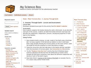
Journey Through Earth
Young scholars study plate tectonics. In this plate tectonics instructional activity students build a cutaway scale model of the Earth.
Curated OER
Landforms
Young scholars begin their examination of landforms. Using a map, they locate and identify the major landforms on Earth. They discuss how landforms affect the lifestyle of the community and determine which goods and services the...
Curated OER
Castle Builder
Fifth graders discuss the importance of castles in medieval times. Using the internet, they research the parts of a castle and design their own using the components. They use everyday materials to build the castle to a specific scale.
Curated OER
Earth Science: The Structure of the Earth
Young scholars identify and complete activities about the structure of the Earth. In this Earth structure lesson plan, students view a Powerpoint about the Earth's layers and complete a diagram. young scholars compare temperatures in the...
Curated OER
HIV/AIDS and Contemporary Population Dynamics
Students describe the spread and occurrence of HIV/AIDS at multiple scales.
They explain global and regional variations in the occurrence of HIV/AIDS
and the spread of HIV/AIDS in the United States
Curated OER
Magellan
Learners identify the route of Magellan's voyage. In this map skills lesson, students use a globe to identify various coordinates where Magellan traveled.
Curated OER
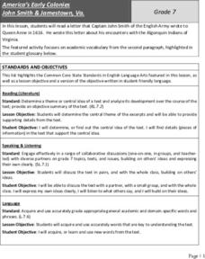
America’s Early Colonies: John Smith and Jamestown, Va
John Smith's 1616 letter to Queen Anne of England offers ELLs an opportunity to learn about a bit of early American history. The four-page packet includes the full text of the letter. In addition, the packet includes a worksheet...
Curated OER
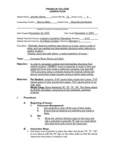
Compass Rose: Dance and Quilt
Fourth graders identify the cardinal directions by listening to a song entitled, "Stand," and by reviewing the lyrics to that song. They notice the cardinal directions that are posted around the classroom. They perform the motions as...
Curated OER
How Much Further Is It?
Fifth graders use estimation to solve problems and assess the reasonableness of their answers. They may use an odometer, a map with a legend, MapQuest, or a map without a legen. They estimate 4 to 5 different scenarios.
Curated OER
May We Present Planet Earth?
Students draw a map to scale. They illustrate knowledge of how to use DOGS TAILS on a map. Students identify the main parts of a map. They identify and illustrate the major features necessary for sustaining a quality of life for a society.
Curated OER
Can You Dig It?
Students investigate a fossil site and diagram a site map. They role play as paleontologists.


