Curated OER
Social Studies: The Connecticut Hill Community
Learners discover the reasons for the settlement of the Connecticut Hill Community. Through an examination of the climate, occupations of the inhabitants, and demographics, they discuss reasons people choose locations for settlement. ...
Curated OER
The Golden Door: U.S. Immigration Through Ellis Island
Students complete a unit covering various aspects of immigration to the United States through Ellis Island. They plan a fictional trip to America, entering at Ellis Island. and actually visit Ellis Island and the Statue of Liberty.
Other
Centre for Topographic Information: Map Scale
This resource uses illustrations to demonstrate scale. Check out the links to the The National Topographic System of Canada and the Aerial Survey Data Base.
BBC
Bbc: Bitesize Geography: Os Map Skills
A short tutorial on mapping tools and how to read maps. Covers features of maps, symbols, the compass, scale, distance, how height is represented, and grid references. Includes multiple-choice quiz at the end.
Other
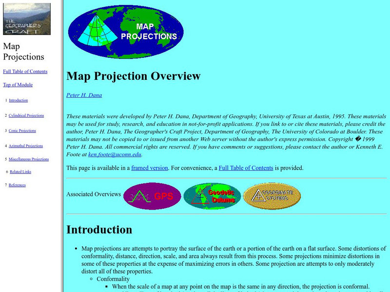
University of Connecticut: The Geographer's Craft: Map Projection Overview
An advanced overview of map projections with illustrative graphics. Created by Peter H. Dana, Department of Geography, University of Texas at Austin in 1995.
University of Calgary
University of Calgary: Alberta Airphoto Collection, 1922 1956
The Alberta Airphoto Collection consists of around 30,000 public domain images from the University of Calgary Library's collection of airphotos. The images cover urban areas at various scales and years between 1924 and 1952. These...
University of Colorado
University of Colorado: Error, Accuracy, and Precision Exam
A university exam on the topics of error, accuracy, and precision. Includes essay, short answer, and multiple-choice. Links to lecture and discussion notes. Answers to short essay and multiple-choice are provided.


