Curated OER
Geography - Mapping the Holocaust
Eighth graders map the important locations of the Holocaust. In this Holocaust lesson, 8th graders research the location of countries involved in the Holocaust as well as the location of concentration camps. Students mark the locations...
Curated OER
Trailblazers - Now and Then
Students, working in pairs, use maps to determine the most efficient routes between two cities. They research which route would have been used by early trailblazers. They present a first person account of one of the trailblazers place in...
Curated OER
Matching the Globe with the Map
Young scholars examine how to use a globe. In this globe and map comparison instructional activity, students discuss how the globe and map are alike when looking at Africa and Antarctica. Young scholars investigate shapes and sizes of...
Curated OER
The Ie Storm 1998: Maps and facts activity
Middle schoolers investigate the St. Lawrence River Valley, ice Storm of 1998. For this middle school mathematics lesson, students interpret ice storm data from tables and maps. Middle schoolers write about their own experiences of the...
Curated OER
Put Me in My Place: Using Alphanumeric Grids to Locate Places
Students practice locating points on a large wall grid and create and label a neighborhood map. In this geography lesson, students spell and discuss places as the teacher places them on the map. They discuss the concept of an...
Curated OER
Introduction of the Lunar Relief Map Project
Students investigate the geographic features of the surface of the moon. For this lunar relief map lesson, students watch and discuss the Apollo II Moon landing and make preliminary plans for their lunar maps.
Curated OER
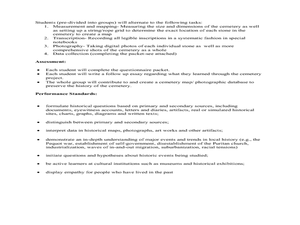
Cemetery Mapping Lesson
Eighth graders explore historical records. In this cemetery mapping lesson, 8th graders analyze local community data as they examine gravestones and read epitaphs.
Curated OER
Latitude on World Maps - World Map Activity 2
Learners explore the concept of latitude. In this geography lesson, students discover the global grid system and complete a map activity which require them to record the latitude of various cities in the world.
Curated OER
Understanding Geography
Students create a map of their own neighborhood to show the relationships between the geography of the neighborhood and its economy and culture. They view and discuss an introductory video on how geographers study an area then go out...
Curated OER
Welcome to My World!
Students use maps to locate information. They read the story, "It Looked Like Spilt Milk", view images of the continents and discuss the various continents. Afterward, they make their own Atlas to record information that they can later...
Curated OER
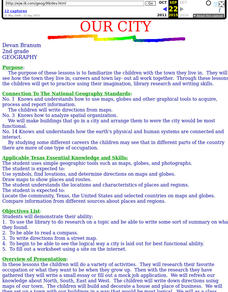
Our City
Second graders familiarize themselves with the town they live in by practicing their imagination, library research and writing skills.
Curated OER
Mapping an Empire
How did the expansion of the Roman Empire during the first century contribute to its downfall? Using a map of the Roman Empire in 44 BC and one of the Roman Empire in 116 AD as references, class member use critical reading skills to...
Curated OER
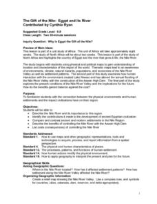
The Gift of the Nile: Egypt and its River
Students begin with a piece of a puzzle that shows an artifact from ancient Egypt. They find others who have pieces that go with their puzzle piece. Students work in these groups to construct a relief map of the Nile River Valley.
Curated OER
Planning A Railroad
Students use topographical maps students explain the challenges involved in building the railroad in the Sierra Nevada mountains.
Curated OER
Navigation
Students explain that globes are the best way to show positions of places, but flat maps are portable and can show great detail. They make a mercator projection of the route Lewis and Clark took on their journey.
Curated OER
Mapmaking
Students examine the craft of cartography and how the Lewis and Clark expedition created and used maps. They analyze maps, read a handout, create a map, participate in a mini expedition and map out a route based on travel directions,...
Curated OER
Principles of Flight: Where are We?
Young scholars explore the concept of topographical maps. In this topographical map lesson, students discuss how airplanes know where to fly. Young scholars use topographical maps to simulate a field trip on the computer.
Curated OER
A Shuttle's Eye View
Students explore the goals of the Shuttle Radar Topography Mission as a springboard to exploring the topographical features of their own state or region. They synthesize their understanding of landforms and topography by mapping their...
Curated OER
Regions of South Carolina
Third graders explore the 5 regions of South Carolina. In this regions instructional activity, 3rd graders locate the regions on a map and compare and contrast the areas. Students have sentence strips that have facts about the regions on...
Curated OER
Money Matters: The Importance of Global Cooperation
Students prepare for a visit to the International Monetary Fund (IMF). In this instructional activity students create a concept map of money. They discuss the goals of the IMF. Students research countries currently changing into market...
Curated OER
Where I Live…
Second graders explore their community. In this social studies lesson plan, 2nd graders use Internet tools to locate their community on a map and then locate where they live.
Curated OER
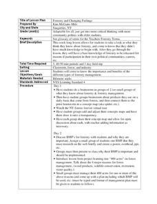
Forestry and Changing Feelings
Students investigate how the forest affects their daily lives by creating a concept map. In this ecological lesson, students create a concept map linking the forest to the many things they use each day. Students take a field trip in...
Curated OER
Arthur's Nose
Students read a story and complete a story map. In this diversity and acceptance lesson, students read Arthur's Nose, make a story map, research Aardvarks, complete a Venn Diagram comparing Arthur's nose to other animals in the story...
Curated OER
Where is the Trail? The Journey of Lewis and Clark
Students explore the trail followed by Lewis and Clark on their journey across the United States. In this United States History lesson, students complete several activities to establish the Lewis and Clark Expedition, including a class...
Other popular searches
- Map Skills Lesson Plans
- Map Skills Worksheets
- Elementary Map Skills
- Geography Map Skills
- Basic Map Skills
- Social Studies Map Skills
- Globe and Map Skills
- Beginning Map Skills
- United States Map Skills
- Map Skills, Continents
- Early Explorers Map Skills
- Free Map Skills Worksheets


