Curated OER
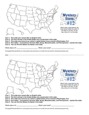
Mystery State #12
What's better than learning about US geography? Having fun while your doing it! After reviewing each of the five given clues, learners attempt to name the mystery state. A great way to reinforce geography skills and deductive reasoning...
Cornell University
Too Much of a Good Thing?
Continuing their study of beneficial insects, young entomologists discover where in the world some of these bugs are. By labeling, coloring, and using the scale on a map, pupils explore the territories and arrival of the Asian lady...
Curated OER
Europe Map
In this world geography activity, students study the map of Europe and locate the 48 countries within the continent. Students write the names on the provided lines.
Curated OER
North America Outline Map
In this blank North America outline map worksheet, students study the political boundaries of the continent. This outline map may be used for a variety of geographic activities.
Curated OER
Reading a Map 1
In this map reading activity, students examine the map of Melton Park and determine if the sentences are true or false. Students answer 20 questions.
NOAA
Why is Hawaii's Ocean Important?
Studying the oceans? Focus on Hawaii's ocean with a resource packed with activity-based worksheets. Everything from products that come from the ocean to the abundance of plants and animals that call the ocean their home, Hawaii's ocean...
Curated OER
Learn the States and Postal Abbreviations
If you are preparing to cover the 50 states with your class, you don't want to miss this resource. It includes an excellent set of worksheets through which learners practice identifying states from their abbreviations and placing those...
Curated OER
Map Keys
In this geography worksheet, learners identify who a cartographer is and what they do specifically. They study an outline map of a fictitious island and then, respond to the three questions that follow. Finally, students add three more...
Curated OER
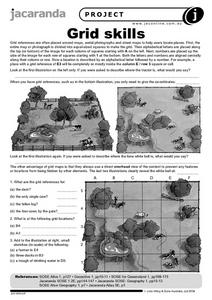
Grid Skills
In this geography worksheet, learners use grid references on a map to locate places in the pictures given. They also identify another advantage of using a grid map, which they have an overhead view of the content to prevent any features...
Curated OER
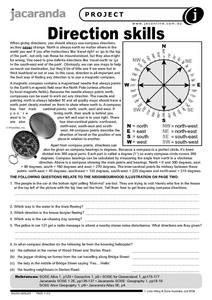
Direction Skills
In this geography worksheet, learners read an excerpt on what directions tell someone. They respond to 6 short answer questions related to the neighborhood illustration found on the second page of the worksheet.
Curated OER
Czech Republic Outline Map
In this blank Czech Republic outline map activity, students study the physical boundaries of the country. This outline map may be used for a variety of geographic activities.
Curated OER
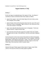
Regional identities in Italy
In this Italy map activity instructional activity, students complete 2 map activities that require them to identify major cities and landforms in the country.
Curated OER
Europe Map Quiz
For this online interactive geography quiz worksheet, students respond to 45 identification questions about the countries located in Europe. Students have 5 minutes to complete the quiz.
Curated OER
Africa: Geography Concept Map
In this geography skills instructional activity, students complete a graphic organizer where they list African countries and their geographic features, languages spoken, natural resources, and historical facts.
Curated OER
African Rivers Map Quiz
In this online interactive geography quiz learning exercise, students examine the map that includes 15 rivers in Africa. Students match the names of the rivers to the appropriate places on the map.
Curated OER
Asia Capitals Map Quiz
In this online interactive geography quiz worksheet, students examine the map that includes 31 countries in Asia. Students match the names of the capital cities to the appropriate countries on the map.
Curated OER
Illinois State Map
For this Illinois geography worksheet, students color and label a map of Illinois. Students study the location of the capital and where Illinois is situated in the United States. There is a black line map of the state with a grey US map...
Curated OER
Pennsylvania State Map
In this geography of Pennsylvania worksheet, students color and label a map of the state. Students also study the location of Pennsylvania on a grey background map of the entire 50 states.
Curated OER
Utah State Map
In this geography of Utah worksheet, learners color and label a map of the state of Utah. Students also study a second map that shows the location of this state in the U.S.
Curated OER
Tennessee State Map
In this Tennessee state geography worksheet, learners color and label major cities and physical features on the map. Students also study a second map of the U.S. that shows the location of the state of Tennessee.
Curated OER
Virginia State Map
In this geography of Virginia worksheet, students color the map and label major cities and physical features. Students also study a second map showing the location of the state of Virginia in the United States.
Curated OER
Delaware State Map
In this geography of Delaware worksheet, students color the map and label major cities and physical features. Students also study a second map showing the location of the state of Delaware in the United States.
Curated OER
California State Map
In this geography of California worksheet, students color the map and label major cities and physical features. Students also study a second map showing the location of the state of California in the United States.
Curated OER
Georgia State Map
In this geography of Georgia worksheet, students color the map and label major cities and physical features. Students also study a second map showing the location of the state of Georgia in the United States.
Other popular searches
- Geography Map Skills
- Geography Map Reading Skills
- Geography Map Skills Scale
- Geography and Map Skills
- Geography Map Skills Europe
- Usa Geography Map Skills
- Geography Map Skills Us
- Canada Geography Map Skills
- Map Skills Geography Themes
- Geography Map Skills Ohio
- Geography Beginning Map Skills


