University of New Mexico
New Mexico Land of Enchantment
Third graders research Native American Cultures surrounding New Mexico. They analyze the history and geography of the state. They play a guessing game that incorporates the indigenous plants and animals of New Mexico. In groups, learners...
Texas State Energy Conservation Office
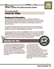
Investigation: Tour de Texas
Teams of Texas tourists gather into groups to analyze what they can do with $50 worth of an alternative fuel. They write checks, keep a balance sheet, and map out their sight-seeing route taking into consideration the location of...
Baylor College
People and Climate
Model how the sun's energy strikes the planet and help your class relate it to a climate map. Assign small groups an individual climate zone to discuss. They reflect on and research how humans survive in the assigned climate and write a...
Curated OER
We the People: 270 out of 538
Students engage in a instructional activity that helps them better explain the quadrennial ritual surrounding the election of a president in the United States of America.
Curated OER
From Sea to Shining Sea
Students study the geography of the United States of America. Students write letters, create travel brochures, make maps, graph population numbers, read fiction and nonfiction selections, complete KWL charts, and watch films.
Curated OER
Washington, Jefferson, Roosevelt, Lincoln
Students study four of the most influential and important presidents in United States history. In this United States presidents lesson, students learn the facts and histories to four of the most influential presidents in history - George...
Curated OER
Omaha Immigration Case Study
Eleventh graders explore the immigration patterns in the United States. In this American History lesson, 11th graders study the push and pull factors that caused immigration. Students research one group of individuals and create a...
Curated OER
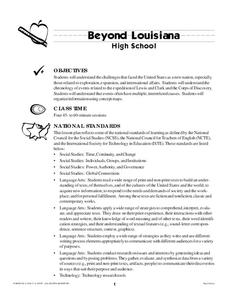
Beyond Louisiana
Eleventh graders examine the challenges that faced United States as a new nation. In this American History lesson, 11th graders study the chronology of events leading up to the expedition of Lewis and Clark. Students organize...
Curated OER
Early Presidents and Politics
Students investigate early presidents of the United States. Students complete a series of lessons in which they research the contributions and political climate during the terms of U.S. presidents from George Washington to Andrew Jackson.
Curated OER
Grade 8 Unit 4
Eighth graders analyze aspirations and ideals of the people of the new nation, in terms of its physical landscapes and political divisions, and the territorial expansion of the United States during the terms of the first four presidents.
Curated OER
Roles of the President
Students read a document which explains the roles and responsibilities of the President of the United States. In groups, they tour the George Bush Presidential Museum and participate in a Presidential scavenger hunt. Once back in the...
Curated OER
1792 Election Results
The beginning of American politics and elections is found in these slides, which detail the 1792, 1796, 1800 elections of Washington, Adams, and Jefferson (respectively). Plan on including your own discussion points and details in this...
Curated OER
The Election of 1840
Entertaining political cartoons, campaign songs, and slogans are sprinkled throughout this presentation, which details the Presidential Election of 1840. Teachers can bring their own discussion topics to the slideshow with references to...
Curated OER
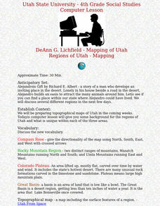
Regions of Utah - Mapping
Fourth graders draw a rudimentary map of the state of Utah, dividing it into the three regions: the Great Basin, the Colorado Plateau, and the Rocky Mountain Region.
Curated OER
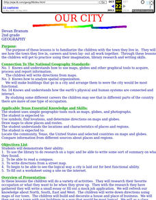
Our City
Second graders familiarize themselves with the town they live in by practicing their imagination, library research and writing skills.
Curated OER
Regions of South Carolina
Third graders explore the 5 regions of South Carolina. In this regions instructional activity, 3rd graders locate the regions on a map and compare and contrast the areas. Students have sentence strips that have facts about the regions on...
Curated OER
A Study of Grasses on the American Prairie
Fifth graders study the ecology and impact of animal and human life as it relates to the environment of the Great Plains and its grasses. They compare types of grasses with a rainfall map to illustrate the effect of precipitation on...
Curated OER
Location, Location, Location!
Twelfth graders locate cities, states and countries on maps. They use the cardinal directions to locate places on maps. They describe where they were born by giving clues without naming the exact state. They trade papers and try to guess...
Curated OER
I Can Compass, Can You?
Students discover how to use geographic tools. In this compass lesson, students identify cardinal directions by appropriately using compasses along with a number of various maps.
Curated OER
Map Creation
Second graders identify a map, symbol, key, and compass rose. Students create and print a map for teacher evaluation using the computer. Students identify the symbols on their map and orally present them to the class.
Curated OER
Maps as Models of Earth
Eighth graders use different types of maps to find locations and surface features. For this map-reading lesson students use a compass to find direction.
Curated OER
State My Name
Students study the names of all fifty states, their capitols, location on a map, and an economic resource of each state. They complete a matching game activity.
Curated OER
Map Reading
After examining a map from 1803 and 2003, they explore how to become map readers. They describe what they see on the map from 1803 and compare the information to the map from 2003. Learners create their own map of the neighborhood that...
Curated OER
Reading distance on maps
Eighth graders complete worksheets on reading the distance on maps in miles or kilometers. In this maps lesson plan, 8th graders use a calculator and ruler.


