Encyclopedia of Earth
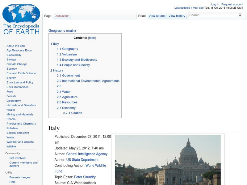
Encyclopedia of Earth: Italy
The Encyclopedia of Earth provides an overview of Italy, including its geography, natural resources, history, government, economy, and much more. Maps and images are also included, along with sources used to create the entry.
Other
The World of Dante: Map Images
Interactive map images from Dante's "Inferno." With reproduced maps of Italy from the time of Dante's life (1300s).
United Nations
Unesco: Longobards in Italy: Places of Power (568 774 Ad)
The Longoboards buildings reflect the accomplishments of the Lombards, a Germanic culture originally from northern Europe. These early medieval buildings are located across the Italian Peninsula and date from the 6th to 8th centuries....
BBC
Bbc History: Animated Map: The Italian Campaign
This animated map gives a good visual of the Italian Campaign which began in Sicily in 1943. Each map has a description of the action, a key is provided, and just the map animation can be replayed, or view the entire site again.
Franco Cavazzi
Roman empire.net: Roman Italy Map
This site from Roman-Empire.net is an interactive map of Roman Italy. Areas, Regions, Tribes, Towns, Cities, Rivers, Lakes, and Mountains can be searched for with pull-down menus.
W. W. Norton
W.w. Norton & Company: Map of the Unification of Italy (1850S to the 1870s)
Map showing Italian unification. Illustrated key indicates when territory was acquired.
Other
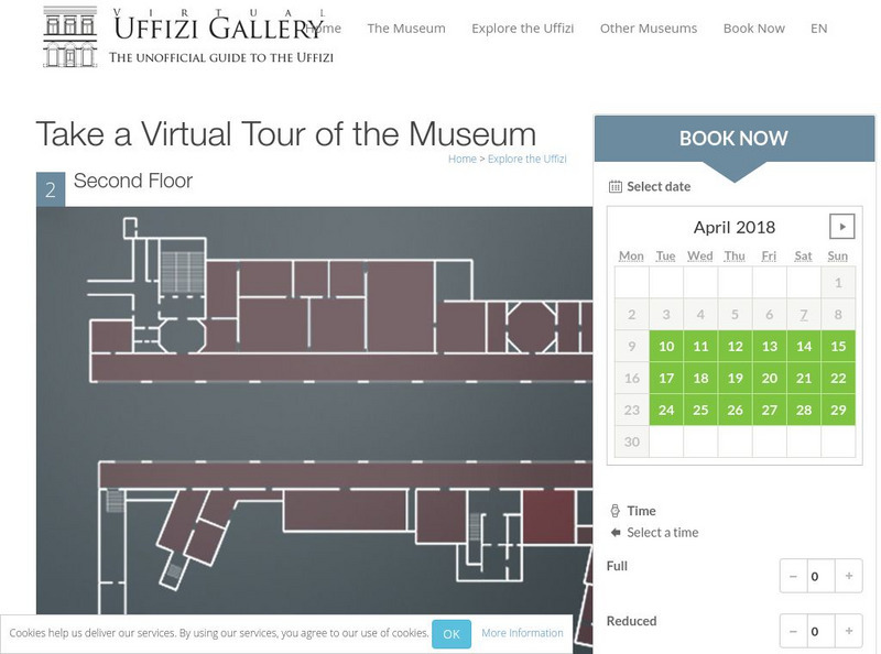
Virtual Uffizi Gallery: Take a Virtual Tour of the Museum
See the artwork located in the Uffizi Gallery in Florence, Italy. This resource brings the images to you. Just click on the room or topic and see background information and a link to the image.
E-learning for Kids
E Learning for Kids: Science: Italy: How Are Magnets Made?
Paolo works in a Pizzeria. He is trying to make his own magnets. Join him and help him learn.
E-learning for Kids
E Learning for Kids: Science: Italy: How Can We Separate Solid Mixtures?
Help Rozalia clean her Pizzeria kitchen by using different methods to sort out mixtures.
Curated OER
Science Kids: Science Images: Map of Italy
A map featuring Italy and its neighboring countries.
Curated OER
Map of Italy
This is an online resource for information on Italy. The site includes a map and flag, government, population, languages, communications, economic summary, and a history of the country.
Forum Romanum
Outlines of Roman History: Introduction the Land and the People
This is the introductory chapter of Morey's 1901 textbook on Roman History. It sets out the geography of Italy and the Italic tribes who lived there. The text is old, but surprisingly easy to read and packs in a lot of information.
United Nations
Unesco: Early Christian Monuments of Ravenna
This World Heritage website features Ravenna in Italy, which was the center of the Roman Empire at one point, and later of the Byzantine Empire in Italy. Presented on this website are eight Christian buildings, and their mosaics, from...
Other
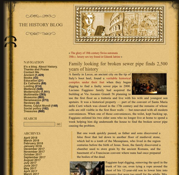
History Blog: Family Looking for Broken Sewer Pipe Finds 2,500 Years of History
A fascinating story about a family in Lecce, Italy, who made a major archaeological discovery while digging under their house to find the source of a problem in the pipes that led to a toilet. What they found instead was an entire...
Columbia University
Columbia University: Renaissance Architecture
Learn about Renaissance architecture and explore 360 degrees panoramas of buildings in France, Italy, and Portugal. A few can also be explored through their architectural plans. Features one project that maps Venice's Renaissance art and...
United Nations
Unesco: Historic Centre of Naples
This World Heritage website features Naples, first founded by the Greeks in 470 BC as Neopolis. Found here are a description of its long history, links, a map, documentation, photos, and any indicators of threats to its integrity.
United Nations
Unesco: Historic Centre of Florence
This World Heritage website features Florence, a focal point for the Italian Renaissance. Found here are a description, a map, documents, many photos, a video on its significance, and any indicators of threats to its preservation.
United Nations
Unesco: Ferrara, City of the Renaissance, and Its Po Delta
This World Heritage website features Ferrara, a focal point for the Italian Renaissance in the 15th and 16th centuries. Ferrara is known as well as the place where modern town planning began. Found here are a description, a map,...
United Nations
Unesco: Historic Centre of Urbino
This World Heritage website features Urbino, an important center for a short time during the Italian Renaissance that has been largely preserved. Found here are a description, links, maps, documentation, photos, and a video on its history.


