Curated OER
I Had To Tell This Story
Tenth graders analyze the video "Berga: Soldiers of Another War." In this World History activity, 10th graders read a quote and discuss the meaning of the quote. Students read and answer questions based on a video
Curated OER
Breaking News English: Iran to Replace 40 Ambassadors
In this English worksheet, students read "Iran to Replace 40 Ambassadors," and then respond to 47 fill in the blank, 7 short answer, 20 matching, and 8 true or false questions about the selection.
Curated OER
World History/Current Events Activity
Students define the term terrorist, and examine how terrorist methods are used to promote fear and endanger the lives of innocent individuals. They analyze why President Bush has declared war on terrorism, and write essays on terrorism.
Curated OER
Competing National Stories in Tibet
Students research the Tibetan conflict from the point of view of both Tibet and China. They review resources produced by both factions and then apply these skills to consider other competing national stories.
University of Texas at Austin
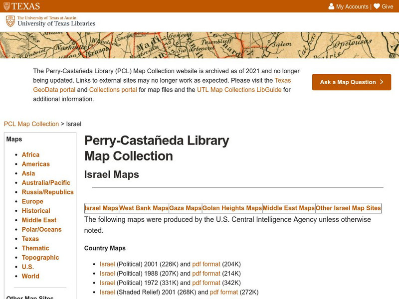
Perry Castaneda Library Map Collection: Israel
The Perry-Castaneda Library at the University of Texas provides an outstanding collection of maps of the country of Israel. Also links to maps from other online sources.
Latimer Clarke Corporation
Atlapedia Online: Israel
If you're doing a research paper on Israel, this is a great place to begin. Has information about the history, people, geography, climate, economy, and more. Click on the map image to get more details and an enlarged view.
Nations Online Project
Nations Online: Israel
A great destination guide that takes you on a virtual trip to the Middle Eastern state of Israel. Find general information on its culture, people, environment, geography, economy, and government. There are numerous links available that...
World Atlas
World Atlas: Israel
Features an overview of the history of Israel from 750 BC to modern times. By clicking on any tab above the maps you can learn about topics such as flags, geography, travel, and more.
Other
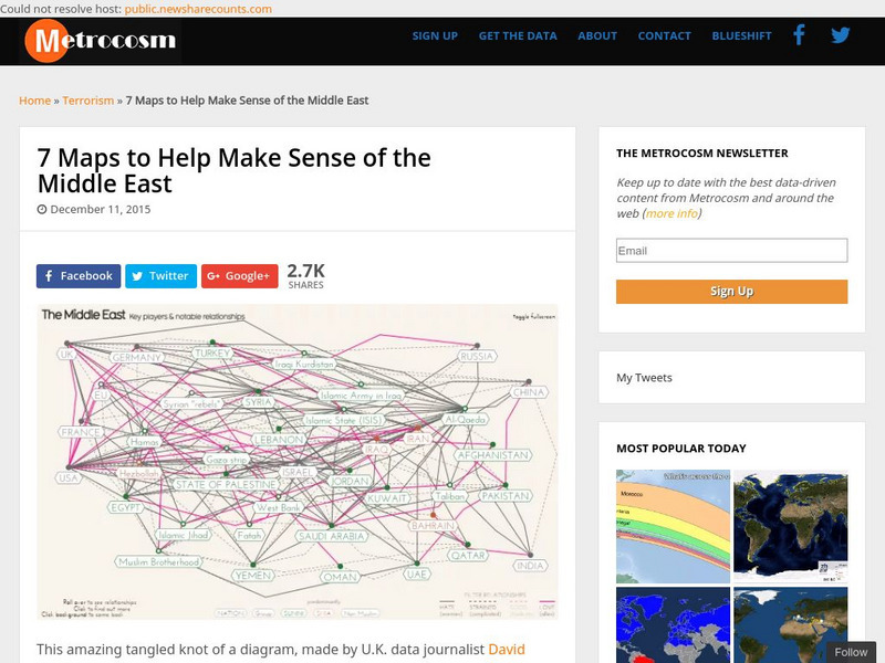
Metrocosm: 7 Maps to Help Make Sense of the Middle East
Keep up to date with the everchanging Middle East Region. The Middle East has been a tangled web of alliances since WWI. These maps attempt to make sense out of the this often confusing area. The 7 maps show the relationships among...
Central Intelligence Agency
Cia: World Factbook: Israel
This resource from the CIA World Factbook provides a detailed fact sheet of Israel. The content covers the country's geography, people, government, economy, communications, transportation, military, and transnational issues. It includes...
Other
Rock Island Books: Map of the Holy Land in the Time of Jesus
A map of the ancient land of Judea and Samaria as it was during the life of Jesus. The locations are given the traditional names.
Encyclopedia of Earth
Encyclopedia of Earth: Israel
The Encyclopedia of Earth provides an overview of Israel, including its geography, natural resources, history, government, economy, and much more. Maps and images are also included, along with sources used to create the entry.
National Geographic Kids
National Geographic Kids: Israel
Click-through facts-and-photo file about Israel's geography, nature, history, people and culture, and government. Includes a map of the country that pinpoints its Middle East location.
Houghton Mifflin Harcourt
Holt, Rinehart and Winston: World Atlas: Israel
Find all the basic data on Israel on this page. Contains a clear map from "MapQuest", flag and facts in a list format. Categories include languages, religions, life expectancy, currency, GDP, industry, agriculture and more.
University of Texas at Austin
Map of the West Bank
A colorful political map of the West Bank of the Jordan River. Shows shrines, mines, antiquities sites, bordering countries, Israeli civilian and military areas,roads, and razed villages. Map reflects the territory in 1992.
Curated OER
Ut Legacy Library: Map of the Gaza Strip
A colorful map of the Gaza Strip (1991) showing the 1950 Armistice Line, Israeli military and civilian areas, highways, etc.
Israel Ministry of Foreign Affairs
Israel Mfa: Jerusalem in Old Map and Views
Resource provides the contents of an exhibition in Israel on the history of the city of Jerusalem through maps. It starts with the oldest map, a mosaic known as the "Madaba Mosaic," found in Jordan and goes to the 19th century. Click on...
BBC
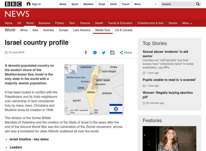
Bbc: News: Country Profile: Israel and Palestinian Territories
The BBC provides a general overview of the country of Israel and Palestinian Territories. Content includes a focus on Israeli and Palestinian recent history, leaders and media. There are also video and audio clips of recent events.
New York Times
New York Times: Trading Attacks
An interactive map that shows the conflict in Israel and Hezbollah. There is a timeline at the side of the map that shows different events that occurred on different days. Click on an event and it will move the map to where it happened....
PBS
Pbs News Hour: Israeli Palestinian Conflict
This site provides links to news articles, background reports, and other resources such as maps and lesson plans concerning the Israeli-Palestinian Conflict. Updated to December, 2010.
American-Israeli Cooperative Enterprise
Jewish Virtual Library: Un Partition Plan, September 1947
This authentic UN map depicts the political lines to be drawn to partition Palestine as established in 1947.
Other
Teaching Social Responsibility: Teachable Moment: Israelis & Palestinians
Case studies that provide information about the conflict in Israel between the Palestinians and the Israelis. Encourages students to debate and discuss the conflict and try to come up with a solution to the problem. (2011)
New York Times
New York Times: Interactive Graphic: Attacks, Day by Day
This resource presents an interactive map that shows the day by day attacks that have occurred in Lebanon, Israel, and the Gaza Strip. Ot provides information about each attack, when/where it occurred, and gives information about by how...
Other
Key Way: Why Babylon?
Describes the fall of Israel and Judah to the Babylonians in 721 BC, and 586 BC. Includes map.


