K12 Reader
Colonization: for Gold, God, and Glory
Colonization, cartography, and circumnavigation. After reading a short article about early explorations, kids use the information provided to answer a series of comprehension questions.
Curated OER
American Indians Heritage Series: The Inuit's
Students become aware that people lived in America before Columbus came. In this Inuit culture lesson, students discuss lives of the Inuits. Students listen to Mama Do You Love Me, A Promise is a Promise and The Polar Bear Son: Inuit...
Curated OER
Hernando De Soto's Trip Through South Carolina
Fourth graders become familiar with the explorations of Hernando DeSoto. For this DeSoto lesson, 4th graders recognize the routes and territories of DeSoto's explorations. Students use primary and secondary sources and research to answer...
Curated OER
Explorers
In this Explorers study guide worksheet, students respond to 3 questions regarding Prince Henry the Navigator, Vasco da Gama, Columbus, Magellan, Cortez, Pizarro, Drake, and Cartier. Answers are included.
Curated OER
Social Studies Quiz B-Grade 4
For this grade 4 social studies quiz worksheet, 4th graders complete a 15 question multiple choice quiz covering a variety of grade 4 concepts.
Curated OER
Sail, Sail, Sail Your Ship!
Students listen to the book, Columbus Day, by Paul Showers and discuss the historical significance of Christopher Columbus. They create Columbus Day booklets, sing a Christopher Columbus song, and develop graphic organizers.
Curated OER
Overcoming Problems: John Smith
In this John Smith worksheet, students read a one page article about the problems John Smith faced in the 1600's. Students complete 7 short answer questions about the article.
Curated OER
The Roman Empire
Fourth graders identify the reasons behind the fall of the Roman Empire and describe the changes that occurred after the fall of the Roman Empire.
Curated OER
Good Advice 2
In this language arts worksheet, students match questions with logical answers and advice. Students read 20 questions and match them to the good advice answers.
Other
Pike Page: Maps of Pike's Overall Route and in Each State
Detailed maps of the routes of Zebulon Pike in his various expeditions in the 1800s. Click on each map for a PDF view. Hyperlinks to additional information on the site.
University of Calgary
European Voyages of Exploration: 15th & 16th Centuries
This award-winning website from the University of Calgary's History Department is both impressive and extensive. It focuses on Portuguese and Spanish expeditions of the 15th and 16th centuries (the sitemap provides a good outline of...
Curated OER
Educational Technology Clearinghouse: Maps Etc: North America, 1800
A map of North America and Central America showing territorial claims and possessions in 1800. The map is color-coded to show the territories of the United States, British, Spanish, French, and Russians, and indicates areas of disputed...
Curated OER
Educational Technology Clearinghouse: Maps Etc: Central North America, 1755
A map of central North America showing territorial claims at the beginning of the French and Indian War in 1755. The map shows the Oregon Country, the Spanish claims to New Spain and Florida, the French claims to Louisiana and Canada,...
Houghton Mifflin Harcourt
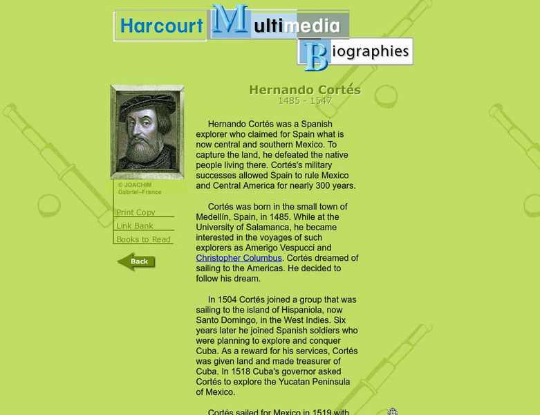
Harcourt: Biographies: Hernando Cortes 1485 1547
Furnished is a brief summary of the life and explorations of Spanish explorer, Hernando Cortes. Take a look at the photos and maps of his journey of what today is called Mexico.
Curated OER
Etc: Maps Etc: Australia and Australasian Islands, 1882
A map of Australia and the Australasian islands in 1882 showing the states and territories of Australia at the time, including De Witt Land and Tasman Land in Western Australia, Alexandra Land and North Australia, Queensland, South...
Curated OER
Etc: Maps Etc: Comparative Areas of the United States and Other Countries, 1872
A map from 1872 of the United States used to illustrate the comparative area sizes of the states to other countries in the world. The map shows state and territory boundaries at the time (Dakota, Montana, Washington, Idaho, Wyoming,...
Curated OER
Etc: Maps Etc: The States and Their Land Claims at Close of Revolution, 1783
A map of the United States at the close of the American Revolutionary War showing the newly formed States, and their claims to the lands west of the Allegheny Mountains to the Mississippi River. The map shows the territories jointly...
Curated OER
Educational Technology Clearinghouse: Maps Etc: The Early United States, 1790
A map of the United States in 1790 showing the territorial claims of the states at the time, and the British and Spanish possessions and territory disputes. The map shows the frontier lines or extent of settlement from the coast of Maine...
Curated OER
Educational Technology Clearinghouse: Maps Etc: Mexico and West Indies, 1855
A map of Mexico, Central America, and the West Indies showing the foreign territorial possessions and independent countries in the region in 1855. The map is color-coded to show the territorial and island possessions at the time of Spain...
Curated OER
Educational Technology Clearinghouse: Maps Etc: North America, 1783
A map of North America, Central America, and northern South America at the end of the American Revolutionary War (1783). The map is color-coded to show the territory of the United States at the time, British possessions in Canada,...
Curated OER
Educational Technology Clearinghouse: Maps Etc: North American Colonies, 1783
A map of eastern North America in 1783 at the end of the American Revolutionary War, showing the territory of the newly formed United States as proposed by the Treaty of Paris, the Canadian border extending to the Ohio River proposed by...
Curated OER
Educational Technology Clearinghouse: Maps Etc: Drawing the United States, 1872
A map skills exercise from 1872 showing the drawing of the United States with proportional measurements. The map shows state and territory boundaries at the time (Dakota, Montana, Washington, Idaho, Wyoming, Utah, Oklahoma, New Mexico,...
National Humanities Center
National Humanities Center: Toolbox Library: Rivalry I, American Beginnings: 1492 1690
Eleven documents and two maps detailing the almost two hundred year struggle between England and Spain for hegemony in the Caribbean.


