Siteseen
Siteseen: Land of the Brave: Salem Witchcraft Trials
This article on the Salem Witchcraft Trials describes the people and events that led to the hanging of 19 people in 1692.
Other
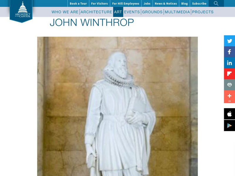
Architect of the Capitol: John Winthrop
A brief biography of Puritan leader John Winthrop and a photo his statue that stands in the Hall of Columns in the U.S. Capitol.
Other
American Revolution: Revere Speaks
AmericanRevolution.org provides a text in which you can read about the famous ride of Paul Revere in his own words.
Curated OER
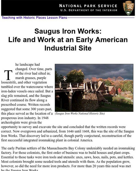
National Park Service: Saugus Iron Works: Life & Work at an Early American Site
Use this site to learn about life and work at an early American industrial site. Understand the need for iron ore for the early Puritans through excellent history info, an inquiry question, maps, images, readings, activities and more....
Curated OER
Educational Technology Clearinghouse: Maps Etc: New England Grants, 1643 1684
A map of the Massachusetts Bay Colony and New England Confederation (1643-1684) showing the grants of the area, and is keyed to show: (1) the Plymouth Colony (1620), (2) Massachusetts, (3) Massachusetts Bay, (4) Maine, (5) New Hampshire,...
Curated OER
Educational Technology Clearinghouse: Clip Art Etc: John Endicott
John Endecott (c. 1588 - March 15, 1665), was a colonial magistrate, soldier and governor of the Massachusetts Bay Colony.
Curated OER
Educational Technology Clearinghouse: Clip Art Etc: John Winthrop
John Winthrop (12 January 1588 - 26 March 1649) led a group of English Puritans to the New World, joined the Massachusetts Bay Company in 1629 and was elected their governor in October 1629. Between 1639 and 1648 he was voted out of...
Curated OER
Educational Technology Clearinghouse: Maps Etc: Lynn, 1919
A road map of Lynn, Massachusetts, from the Official Automobile Blue Book (1919), showing the Saugus River, Lynn Harbor, Nahant Bay, major roads, railroads and stations, bridges, parks, cemeteries, and major landmarks.
Syracuse University
Syracuse University: Map of New England, 17th Century
A map that shows the seventeenth-century migration routes of the Puritans from England to New England. Early population centers are designated as well as some interregional migrations.
PBS
Nh Pbs: Nature Works: Estuaries
Learn more about estuaries when you visit this informative site. This resource provides locations of and weblinks to estuaries in the United States.
Curated OER
Educational Technology Clearinghouse: Maps Etc: King Philip's War, 1675 1676
A map of Narragansett Bay, Rhode Island, and part of Massachusetts, showing the area of the initial stage of King Phillip's War, also known as Metacom's Rebellion (1675-1676). The map shows the site of Swanzey (Swansea), Mt. Hope...
Curated OER
Educational Technology Clearinghouse: Maps Etc: The Early United States, 1790
A map of the United States in 1790 showing the territorial claims of the states at the time, and the British and Spanish possessions and territory disputes. The map shows the frontier lines or extent of settlement from the coast of Maine...
Other popular searches
- The Massachusetts Bay Colony
- Massachusetts Bay Government
- Massachusetts Bay Colonies
- Puritans Massachusetts Bay


