Johns Hopkins University
The Johns Hopkins University: Massachusetts State Maps
This site is provided for by The Johns Hopkins University Applied Physics Laboratory. Have you ever seen a map from 1895? Use this 1895 map of Massachusett to learn more about this state and its geographic features.
Digital Public Library of America
Dpla: Torn in Two: Mapping the American Civil War
This exhibition tells the story of the American Civil War both nationally and locally in Boston, Massachusetts, through maps, documents, letters, and other primary sources.
DLTK
Massachusetts State Map
Provides a blank map of Massachusetts. Teachers will find many uses for this in the classroom. Students will enjoy coloring it and locating different parts of the state.
Maps of Mexico
Virtual Picture Travel Map of Massachusetts
Click on Massachusetts on the US map in order to Travel there and take a virtual tour of Boston. Visit places of interest such as Harvard University, MIT, John F. Kennedy Library and Museum, the Freedom Trail, Copley Square, Trinity...
Maps of Mexico
Virtual Picture Travel Map of Massachusetts
Click on Massachusetts on the US map in order to Travel there and take a virtual tour of Boston. Visit places of interest such as Harvard University, MIT, John F. Kennedy Library and Museum, the Freedom Trail, Copley Square, Trinity...
Maps of Mexico
Virtual Picture Travel Map of Massachusetts
Click on Massachusetts on the US map in order to Travel there and take a virtual tour of Boston. Visit places of interest such as Harvard University, MIT, John F. Kennedy Library and Museum, the Freedom Trail, Copley Square, Trinity...
Maps of Mexico
Virtual Picture Travel Map of Massachusetts
Click on Massachusetts on the US map in order to Travel there and take a virtual tour of Boston. Visit places of interest such as Harvard University, MIT, John F. Kennedy Library and Museum, the Freedom Trail, Copley Square, Trinity...
Khan Academy
Khan Academy: Puritan New England: Massachusetts Bay
An overview of the Puritans who established the Massachusetts Bay Colony, the New Haven Colony and Rhode Island. The internal and external struggles with these colonies is discussed including the Salem Witch Trials, King Philip's War,...
National Endowment for the Humanities
Neh: Edsit Ement: Mapping Colonial New England: Looking at New England Landscape
In this lesson plan, students will consider "Mapping Colonial New England: Looking at the Landscape of New England." The plan includes worksheets and other student materials that can be found under the resource tab.
Massachusetts Historical Society
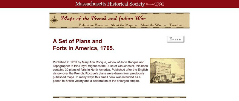
Massachusetts Historical Society: A Set of Plans and Forts in America, 1765
A digitized version of a book published in 1765 by Mary Ann Rocque, widow of John Rocque, topographer to the Duke of Glouchester. Contains images of the thirty plans of forts in North America. Published after the English victory over the...
CRW Flags
Flags of the World: Clickable Map of the United States
Includes both printable images and fascinating trivia behind the flag of each state. It includes alternate flags used in the past.
Curated OER
Etc: English Settlements Around Massachusetts Bay, 1620 1652
A map of Massachusetts Bay showing the early English settlements from Plymouth to Haverhill on the Merrimac River.
Curated OER
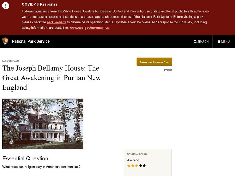
National Park Service: Joseph Bellamy House: The Great Awakening in New England
This site describes the influence of the Reverend Joseph Bellamy and religion in 18th century colonial life. This lesson plan has excellent information, an inquiry question, historical context, maps, readings, images, and activities.
Curated OER
National Park Service: Florida's Shipwrecks: 300 Years of Maritime History
Explore the maritime history of Florida through its shipwrecks. Site includes list of shipwreck sites, maps of shipwrecks, and extensive history.
University of Illinois
University of Illinois: Edna St. Vincent Millay Article by John Newcomb
This site offers an article written by John Timberman Newcomb on Edna St. Vincent Millay and her political views expressed in JUSTICE DENIED IN MASSACHUSETTS and other works.
Curated OER
Educational Technology Clearinghouse: Maps Etc: Massachusetts, 1914
A map from 1914 of Massachusetts showing the capital Boston, major cities, towns, and ports, counties and county seats, railroads, mountains, lakes, rivers, and coastal islands and features. An inset map details the vicinity of Boston. A...
Curated OER
Educational Technology Clearinghouse: Maps Etc: Inland Massachusetts, 1919
A road map of inland Massachusetts in the vicinity of Northampton from the Official Automobile Blue Book (1919), keyed to show the best auto routes, other auto routes, unreported roads, railroads, and canals.
Curated OER
Educational Technology Clearinghouse: Maps Etc: Eastern Massachusetts, 1919
A road map of eastern coastal Massachusetts in the vicinity of Salem from the Official Automobile Blue Book (1919), keyed to show the best auto routes, other auto routes, unreported roads, railroads, and canals.
Curated OER
Educational Technology Clearinghouse: Maps Etc: Eastern Massachusetts, 1919
A road map of eastern Massachusetts in the vicinity of Plymouth, Weymouth, and Brockton from the Official Automobile Blue Book (1919), keyed to show the best auto routes, other auto routes, unreported roads, railroads, and canals.
Curated OER
Educational Technology Clearinghouse: Maps Etc: Southern Massachusetts, 1919
A road map of southern Massachusetts in the vicinity of North Grafton and Milford from the Official Automobile Blue Book (1919), showing state and county lines, towns, and roads, and keyed to show the best auto routes, other auto routes,...
Curated OER
Educational Technology Clearinghouse: Maps Etc: Southern Massachusetts, 1919
A road map of southern Massachusetts in the vicinity of Charlton City and Webster from the Official Automobile Blue Book (1919), showing state and county lines, towns, and roads, and keyed to show the best auto routes, other auto routes,...
Curated OER
Educational Technology Clearinghouse: Maps Etc: Pittsfield, Massachusetts, 1920
A road map of Pittsfield, Massachusetts, from the Automobile Club of Rochester (1920), showing the major roads, railroads and stations, bridges, parks, cemeteries, and major landmarks.


