Curated OER
Creating a National Park
Students explore how national parks are created, operate and benefit society by creating a new national park for their state.
Curated OER
Patchwork of the Planet
Students are taught how satellite images can be joined to make a picture mosaic. They use actual satellite images to make satellite mosaics regions of the United States. Students use a camera to photograph portions of a globe in the...
Curated OER
Weather... Or Not
Students observe and discuss the local weather patterns, researching cloud types and weather patterns for cities on the same latitude on the Internet. They record the data for 6-8 weeks on a graph, and make weather predictions for their...
Curated OER
Castles and Forts of Wales and Oregon
Students compare a castle in Wales to a fort in Oregon and design and build a castle or fort. In this structure study lesson, students complete activities to study castles in Wales to forts in England. Students then design their own fort...
PBS
Pbs Learning Media: Aiming for the Basketball Hall of Fame
In this video segment from TV 411, two Atlanta Hawks players plan a driving route to reach the Basketball Hall of Fame. They use map scales to estimate their travel distances.
Rice University
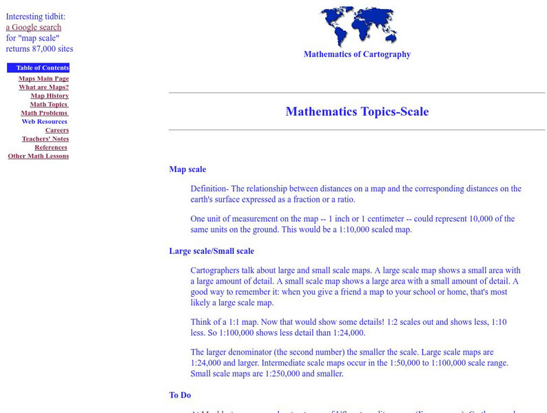
Rice University: Cynthia Lanius: Mathematics of Cartography: Scale
Definition of map scale with related cartography links and activity at Mapblast in which students create maps of their own and determine distance and scale.
E-learning for Kids
E Learning for Kids: Math: Dance Performance: Position on a Map
This interactive website allows students to practice their map skills including scale factors on a map.
Khan Academy
Khan Academy: Dilations: Scale Factor
Find both the center and the scale factor of a dilation that maps a given figure to another one. Students receive immediate feedback and have the opportunity to try questions repeatedly, watch a video or receive hints.
E-learning for Kids
E Learning for Kids: Math: Elephant Plant: Data and Graphs
On this interactive website students practice various math skills using a real-life scenario involving plants. Those skills include interpreting data in a circle graph, interpreting data in a divided bar graph, and interpreting a bar...
E-learning for Kids
E Learning for Kids: Math: Market Place: Measurement: Temperatures
On this interactive site students learn to link temperature to everyday life and read informal scales on a thermometer.
E-learning for Kids
E Learning for Kids: Math: Tea Store: Position on a Map
Help Gina locate items in the tea store using coordinates, a compass, and a ruler in this series of leveled exercises.
TeachEngineering
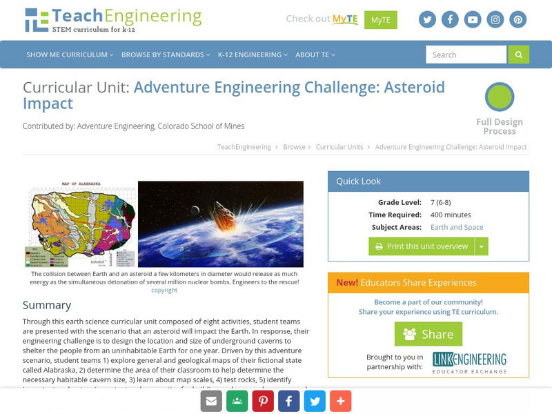
Teach Engineering: Asteroid Impact
Asteroid Impact is an 8-10 class long (350-450 min) earth science curricular unit where student teams are posed with the scenario that an asteroid will impact earth. They must design the location and size of underground caverns to save...
Alabama Learning Exchange
Alex: Land Surveying Project
This project resulted from of the collaboration of a computer aided drafting teacher, Chris Bond, and a math teacher, Lee Cable, (Hewitt-Trussville High School) to provide higher math expectations in CT and real life application in...


