Curated OER
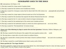
GEOGRAPHY GOES TO THE DOGS
Students use countries and dogs from around the world to answer the questions.
Curated OER
Porcelain And Trade Economics
Students discover the concepts of importing and exporting through the study of Asian luxury goods, in particular porcelain. This lesson includes resource links to primay source images.
Curated OER
Cream Coloured Carrots Make a Comeback
Ninth graders examine the impact of the green carrot in the UK. In this Current Events lesson, 9th graders read an article on the green carrot. Students complete guided questions on the reading.
Other
Bike About the Mediterranean
The creators of this site biked through many countries in the Mediterranean region from 1997 to 1998 and describe here their journey. Along the way, they visited many cultural sites and schools and reported here about their experiences....
BBC
Bbc: News: Country Profile: Italy
The BBC provides this excellent look at the country of Italy including it's history, general facts and several images. Many more features can be found in this extremely comprehensive site.
Curated OER
Principal Railway and Steamship Routes, Central Europe and Mediterranean, 1910
Map shows principal railways and steamship routes throughout Central Europe and the Mediterranean Sea in 1910. This map also shows major cities and rivers, and uses the Mercator's Projection.
Curated OER
Educational Technology Clearinghouse: Maps Etc: Physical Europe, 1916
A physical map of Europe from 1916 showing color-coded elevations and water depths for the area extending from Iceland to the Ural Mountains in Russia Proper, and the Arctic Circle to the Mediterranean Sea. Land elevation colors range...
Curated OER
Educational Technology Clearinghouse: Maps Etc: Physical Map of Europe, 1916
A physical map of Europe from 1916 showing color-coded elevations and water depths for the area extending from Iceland to the natural boundary between Europe and Asia (Ural Mountains to the Caspian Sea), and the Arctic Circle to the...
Curated OER
Educational Technology Clearinghouse: Maps Etc: Drainage Basins of Europe, 1916
A map showing the Atlantic, Mediterranean, Arctic, and Caspian drainage basins or watersheds of Europe. The map includes major river systems and the bodies of water they flow into.
Curated OER
Etc: Maps Etc: Physical Features of Europe, 1901
A map from 1901 of Europe, showing the physical features of the region. This map is color-coded to show general elevations from sea level to over 6,500 feet, mountain systems, drainage divides, lakes, rivers, coastal features, and the...
Curated OER
Etc: Europe During Napoleon's Campaigns, 1796 1815
A map of Europe at the time of Napoleon and his campaigns (1796-1815), showing the political boundaries at the time, and the routes of The First Italian Campaign with the battle sites of Lodi and Arcole, and the Treaty of Campo Formio...
Curated OER
Educational Technology Clearinghouse: Maps Etc: Europe (Physical), 1915
Physical map of Europe showing major landforms and waterways, including the Alps, the Apennines, the Urals, the Russian Heartland, the Pyrenees, the North Sea, Mediterranean, Black Sea, and the Volga, Danube, Rhine, and Seine Rivers.
Curated OER
Educational Technology Clearinghouse: Maps Etc: Outline Map of Europe, 5,000 Bce
An outline map of Europe at a time when sea levels were lower than present, with Iceland, the British Isles and Scandinavian Peninsula a part of the mainland, and the Mediterranean, not connected to the Atlantic Ocean, split into two...
Other
Italyguide: Italy in the Mediterranean and in Europe
Italyguide provides a description of the geography of Italy as well as a description of the borders of the country and its geographical importance to Europe, Asia, and Africa.
A&E Television
History.com: How Far Did Ancient Rome Spread?
Legend has it that Romulus and Remus -- twin brothers who were also demi-gods -- founded Rome on the River Tiber in 753 B.C. Over the next eight and a half centuries, it grew from a small town of pig farmers into a vast empire that...
University of California
Univ. Of California, Davis: Chapter 4: The Bronze Age
Use this site to learn about how bronze was made and how bronze, and its numerous uses, aided in the advancement of many groups of people. This detailed article adresses bronze use in China, Egypt, and the Mediterranean region. Site by...
Curated OER
Unesco: Austria: City of Graz Historic Centre and Schloss Eggenberg
The City of Graz - Historic Centre and Schloss Eggenberg bear witness to an exemplary model of the living heritage of a central European urban complex influenced by the secular presence of the Habsburgs and the cultural and artistic role...
BBC
Bbc: News: Country Profile: Cyprus
BBC News presents a generic overview of the European country of Cyprus. Focus is on history, current information, country facts, political leaders, and news media. Provides links to a timeline of key events, recent news stories, images,...
BBC
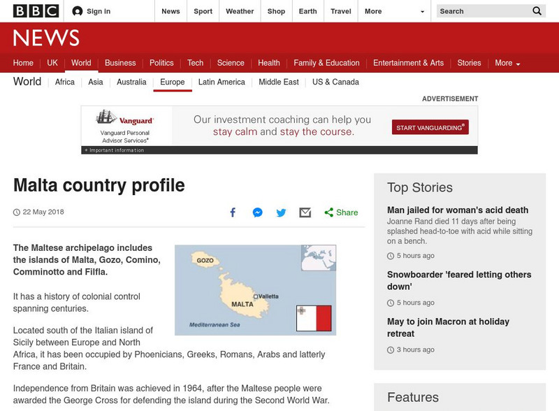
Bbc: News: Country Profile: Malta
The BBC features an overview on the island of Malta including key facts, historical background, information on political leaders and the news media, audio of the national anthem, and a timeline of key events. Also provides links to...
BBC
Bbc: News: Regions and Territories: Gibraltar
BBC News features a general overview of the British territory of Gibraltar. Focus is on history, current information, country facts, political leaders, and news media. Provides links to recent audio and video news articles, a timeline of...
BBC
Bbc: News: Country Profile: Monaco
The BBC features an overview on the constitutional monarchy of Monaco including key facts, historical background, information on political leaders and the news media, and a timeline of key events. Also provides links to recent news...
University of Oregon
Mapping History: European History
Interactive and animated maps and timelines of historical events and time periods in European history from Greek and Phoenician colonization up to the 20th century.
Hofstra University
Hofstra Univ: Why Was Bubonic Plague So Devastating to European Society? [Pdf]
The Bubonic Plague or "Black Death" came out of the eastern Mediterranean along shipping routes, reaching Italy in the spring of 1348. By the time the epidemic was abating in 1351, between 25% and 50% of Europe's population had died. The...
Khan Academy
Khan Academy: Crossroads of the Ancient World
Because of Afghanistan's geographical position -- on the edge of central Asia with India and China beyond to the east, and Iran, the Middle East and the numerous cultures of the Mediterranean and the rest of Europe to the west -- it was...


