Khan Academy
Khan Academy: Mexican Muralism: Los Tres Grandes David Siqueiros, Diego Rivera
Siqueiros, Diego Rivera, and Jose Clemente Orozco-known as Los tres grandes-cultivated an artistic style that defined Mexican identity following the Revolution. They crafted epic murals on the walls of highly visible, public buildings...
Other
Vive Guadalajara
Spanish content; this is an official government web-site guide to the Mexican city of Guadalajara. Find most any place related to services or tourism in the city with this guide.
Other
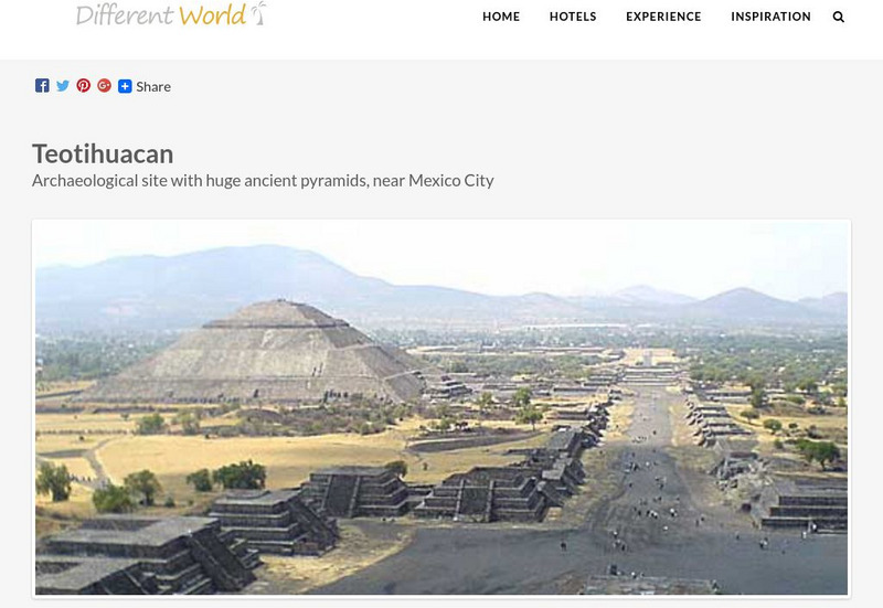
Different World: Teotihuacan: In a Place Where Men Became Gods
This survey of the ancient city of Teotihuacan provides and accessible introduction to this Mesoamerican archeological site known for the third-largest pyramid in the world.
Curated OER
Castillo De Chapultepec
Pictures, ratings, and brief descriptions of major tourist sites in Mexico City.
Curated OER
Bas Lica De Nuestra Se Ora De Guadalupe
Pictures, ratings, and brief descriptions of major tourist sites in Mexico City.
Museum of the City of San Francisco
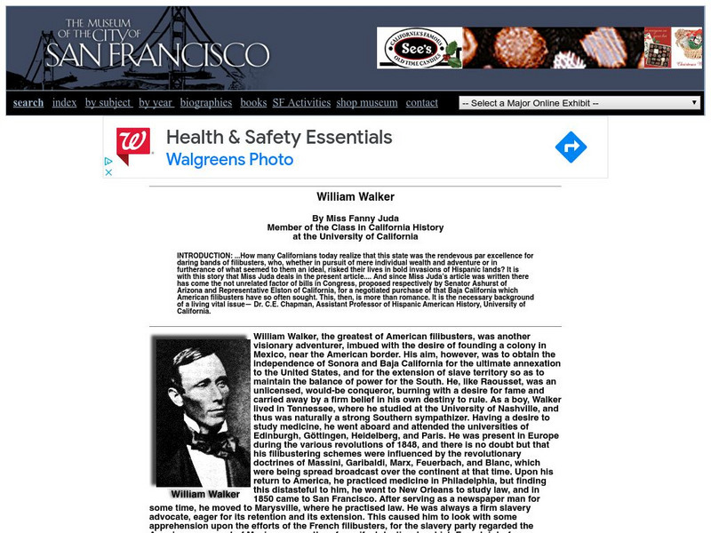
Virtual Museum of the City of San Francisco: William Walker
This is an in-depth site from the Museum of San Francisco covering the adventures of William Walker, including his conquering of Nicaragua.
Other
National Museum of Anthropology, Mexico City
There are two exhibitions available online: Formative Mesoamerico and Teotihuacan. Both exhibits have pictures and narratives.
PBS
Pbs Learning Media: Let's Go Luna!
Let's Go Luna is a PBS KIDS show that follows Luna the Moon and her adventures with Andy, Carmen, and Leo as they travel around the world. Explore cities from all over the globe with these fun videos, and check out the support materials...
Library of Congress
Loc: America's Story: The Treaty of Guadalupe Hidalgo
This 3-page article provides a general overview of the Mexican War which resulted in the signing of the Treaty of Guadalupe Hidalgo in Mexico City on February 2, 1848.
PBS
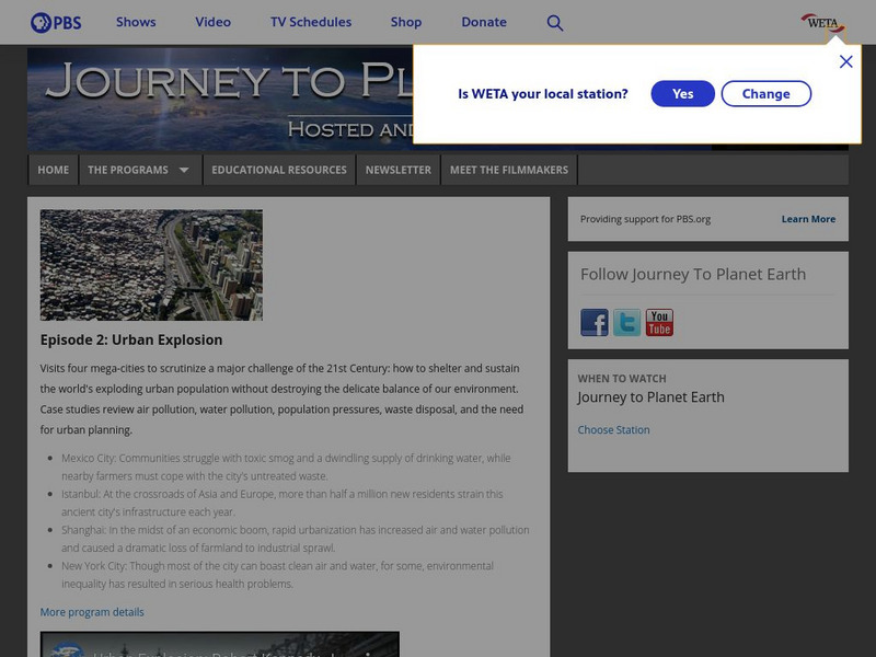
Pbs: Journey to Planet Earth: Urban Explosion
From the "Journey to Planet Earth" series, PBS takes a look at the world's exploding urban population. Includes video clips and educational resources.
Mex Connect
Mexconnect: The Classic Period (300 900 Ce): Part 1/3
First in a three-part article that focuses on three Mesoamerican cities, beginning with Teotihuacan in present day Mexico.
Other
Camelot Village: History of the World: Teotihuacan
A profile of this ancient, mesoamerican city-state that thrived from 50 CE to 900 CE.
CRW Flags
Flags of the World: Sinaloa
This site from CRW Flags has information on Sinaloa, Mexico. The flag is shown and demographic information is presented.
Mex Connect
Mex connect.com: Map of Michoacan
MexConnect offers a map of Michoacan that shows the locations of the major cities located within.
Curated OER
Etc: Maps Etc: City of Mexico and Suburban Towns, 1899
"The city [Mexico City] is in what is called the Federal District, covering an area of some four hundred and fifty square miles - the government of the district like the District of Columbia is directed, by the national legislature,...
Curated OER
Etc: Vicinity of the City of Mexico, 1846 1848
A map of the area around Mexico City showing important sites of General Scott's campaign in the Mexican&ndash:American War (1846-1848). The map shows Lake Joltoca, Lake Cristobal, Lake Tezuco, Lake Xochimilco, and Lake Chalco, and...
Curated OER
Unesco: Mexico: Pre Hispanic City of Teotihuacan
The holy city of Teotihuacan ('the place where the gods were created') is situated some 50 km north-east of Mexico City. Built between the 1st and 7th centuries A.D., it is characterized by the vast size of its monuments - in particular,...
Curated OER
Etc: Maps Etc: Political Divisions of Mexico, 1916
A map from 1916 of Mexico showing the political divisions of states and territories (Quinana Roo on the Yucatan Peninsula, Tepic on the Gulf of California, and Baja California) at the time, including the state capitals and the Federal...
Curated OER
Educational Technology Clearinghouse: Maps Etc: Vicinity of Mexico, 1847
A map of the vicinity of Mexico City showing the route of General Scott from Puebla to the city during the Mexican-American War (1847), including operations and battle sites in the area.
Curated OER
Educational Technology Clearinghouse: Maps Etc: Northeast Mexico, 1846 1848
A map of eastern Mexico along the Gulf showing important battle sites during the Mexican-American War (1846-1848), including Matamoros, Monterey, and Buena Vista during the Taylor campaign, and Vera Cruz and Mexico City during the Scott...
Curated OER
Educational Technology Clearinghouse: Maps Etc: Cortes in Mexico, 1519
A map showing the expedition of Hernan Cortes in 1519. This expedition was the third to the mainland and took him all the way into Mexico. This map shows the route from the Battle of Cintla (Tabasco) to Veracruz (Villa Rica de la Vera...
Curated OER
Educational Technology Clearinghouse: Maps Etc: Cortes' March to Mexico, 1519
A map of Mexico showing the sites of the Spanish Conquistador expedition under Hernan Cortes in 1519. The map shows Juanna (Cuba), Tabasco, Vera Cruz, and Mexico City (Tenochtitlan). An inset map details the route taken by Cortez from...
Other popular searches
- Mexico City and Countryside
- Mexico City Map
- Population Mexico City
- Pollution in Mexico City
- Mexico City Class Projects
- Mexico City Earthquake
- Mexico City Bus Tour
- Environment Mexico City
- Mexico City and Pollution
- Mexico City Air Pollution
- Mexico City Air Polution


