Curated OER
Etc: The West Indies and Mexico, 1898 1906
A map from 1907 of Mexico, Central America, and the West Indies (Greater Antilles to Puerto Rico) between the Spanish-American War in 1898 and the Third Pan-American Conference in 1906. The map shows the political boundaries in 1906,...
Curated OER
Etc: Maps Etc: Mexico, Central America, West Indies, 1888
A map from 1888 of Mexico, Central America, and the West Indies showing the political boundaries at the time, capitals and major cities, railways, mountain systems, coastal features, reefs, and islands of the region.
Curated OER
Etc: Maps Etc: Mexico, Central America, West Indies, 1882
A map from 1882 of Mexico, Central America, and the West Indies showing the political boundaries at the time, capitals and major cities, mountain systems, coastal features, and islands of the region. The map is color-coded to show the...
Curated OER
Etc: Maps Etc: Mexico, Central America, and the West Indies, 1883
A map from 1883 of Mexico, Central America, and the West Indies showing the political boundaries at the time, capitals and major cities, railways, mountain systems, coastal features, reefs, and islands of the region.
Curated OER
Etc: Maps Etc: Mexico, Central America, and the West Indies, 1901
A map from 1901 of Mexico, Central America, and the West Indies showing the political boundaries and Mexican States at the time, capitals and major cities, railways, mountain systems, coastal features, and islands of the region. Inset...
Curated OER
Etc: Maps Etc: Mexico, Central America, and the West Indies, 1906
A map from 1906 of Mexico, Central America, and the West Indies showing the political boundaries at the time, capitals and major cities, mountain systems, coastal features, and islands of the region. An inset map shows the entire North...
Curated OER
New Mexico State Flag
Offers comprehensive information regarding New Mexico history, famous people, cities, geography, state parks, tourism, and historic sites. A fact sheet of information and a quiz are also available.
Other
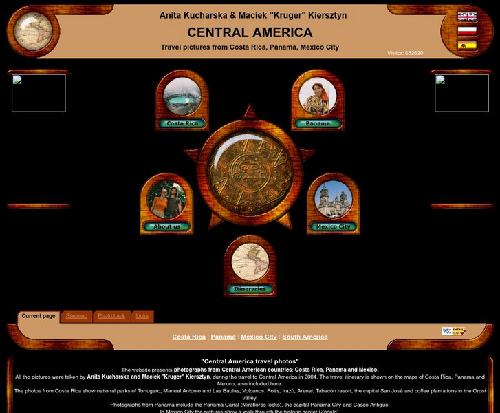
Central America Travel Pictures
Presented are photos taken during a personal trip to the Central American countries of Costa Rica, Panama and Mexico. Click on the shaded part of the map to view images.
Other
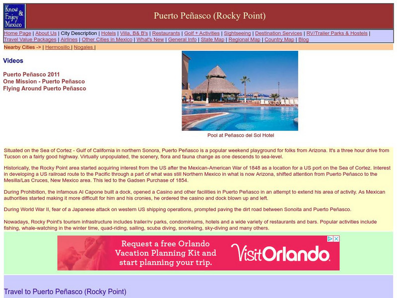
Know & Enjoy Mexico: Mexicali
Very short description of the capital of the state of Baja California.
Mex Connect
People and History of Mexico: The Post Classic Period (900 1521 Ad): The Aztecs
Information on the settlement of the Aztec in Tenochtitlan, which soon became the capital city of their empire, their notable religious observations and customs, and the news of the landing of the bearded white men bearing crosses.
PBS
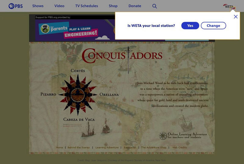
Pbs: The Conquistadors
A huge website that provides a virtual field trip exploring the Spanish adventurers who quested for gold and land in the New World. The site has information on Pizarro, Orellana, Cabeza de Vaca, Cortes as well as extensive information...
Internet History Sourcebooks Project
Fordham University: Modern History Sourcebook: Hernan Cortes
Fordham University gives the text of Cortes' second letter to King Charles V, describing the Aztec capital city, Tenochtitlan, and the people who lived there.
Encyclopedia of Earth
Encyclopedia of Earth: Rio Grande
Read here about the infamous Rio Grande Rivers. This article includes information regarding its history and various facts and figures about it including its agriculture, major cities, dams and other issues.
Other
Villanova University: Ancient Maya Architecture
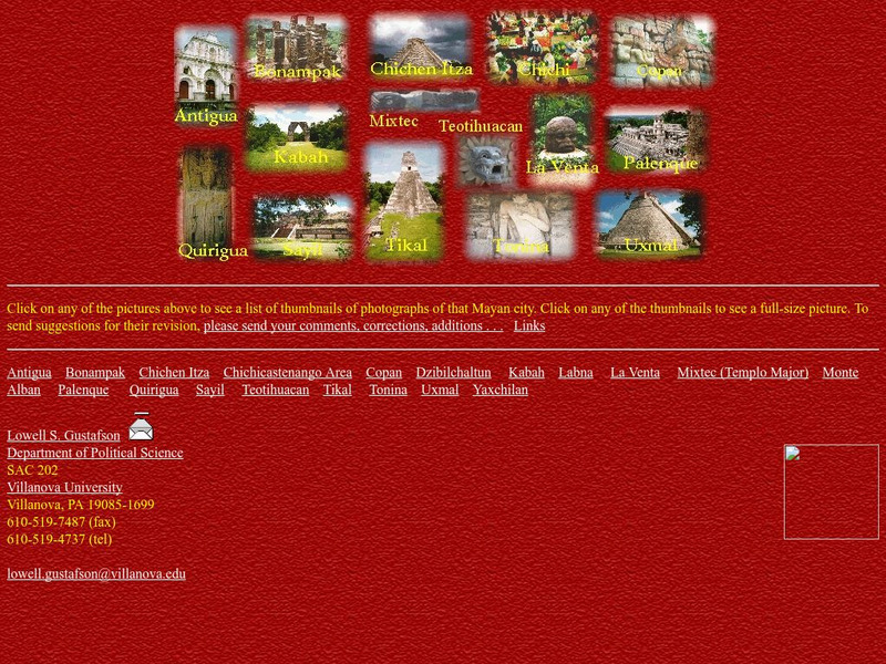
View photographs of pre-Columbian Maya architecture in the regions from central Mexico to Honduras and Nicaragua.
Khan Academy
Khan Academy: Maya, an Introduction
The Maya civilization (300-900 C.E.) was one of the most sophisticated in the pre-Columbian Americas. It extended from southeastern Mexico across modern-day Guatemala, Belize and the western parts of Honduras and El Salvador. The Maya...
CNN
Cnn: World
The Cable News Network (CNN) provides the latest news, issues, and events occurring in the world today. Content includes the top international headlines, including specialized focus on Africa, the Americas, the Asia-Pacific region,...
Other
Morelia Directory
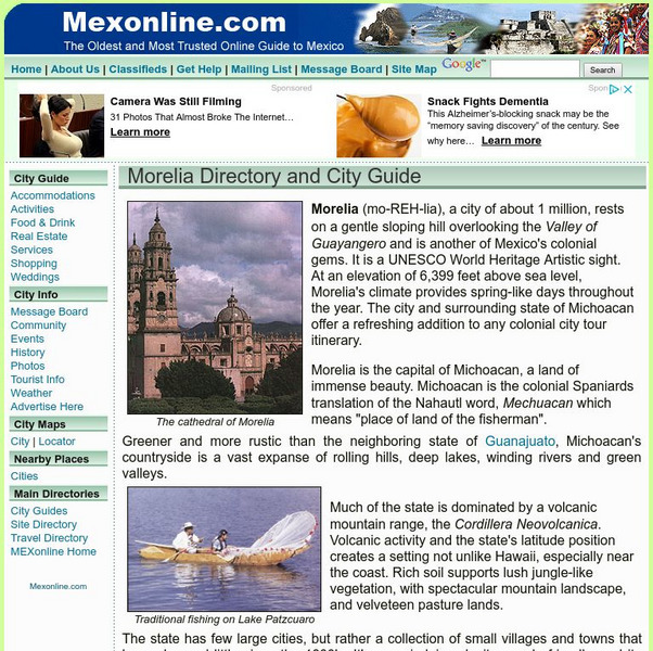
General information as well hotels, restaurants, tours and businesses in this colonial city
Other
Tulane University: Winfield Scott
This biography briefly covers the 50-year span of Winfield Scott's military career.
Curated OER
Etc: Route of the Us Army in Mexican American War, 1846 1848
A map of the area between Mexico City and Vera Cruz showing the route of General Scott during his campaign in the Mexican-American War (1847). The map shows the battle sites, including the siege of Fort San Juan de Ulloa and Vera Cruz,...
Digital History
Digital History: The Face of Battle
A brief look at the frustrating course of the Mexican War. Read about California's revolt from Mexico, Gen. Scott's capture of Mexico City, and Mexico's refusal to surrender.
Walled Lake Consolidated Schools
Loon Lake Elementary School: Francisco Vasquez De Coronado
A biography of Francisco Vasquez de Coronado (1510-1554), a Spanish explorer. In 1535, Coronado sailed to Mexico with Antonio de Mendoza, the viceroy of Mexico. Coronado became governor of New Galicia province, northwest of Mexico City...
Other
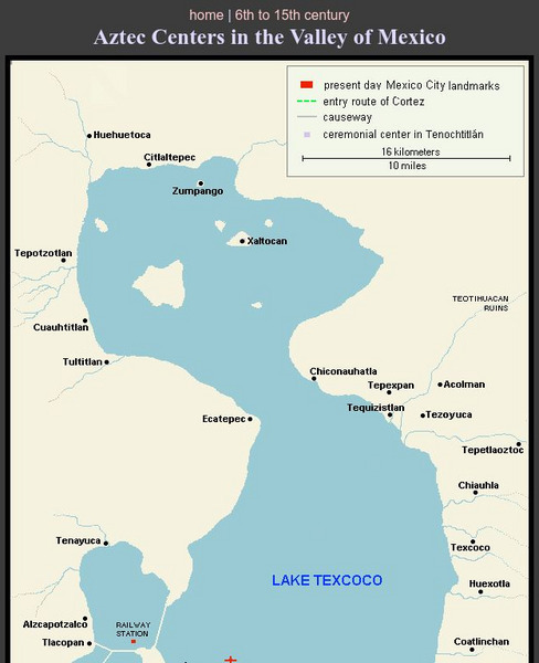
Aztec Centers in the Region of Lake Texcoco
A map of Lake Texcoco, showing the Aztec centers in the region at the time of the Spanish conquistadors. The entry route of Cortes into the city of Tenochtitlan, the Aztec capital, is designated along with causeways into the city. A few...
Encyclopedia Britannica
Encyclopedia Britannica: Lee Evans
This entry from Encyclopedia Britannica features Lee Evans, an American runner who won two gold medals at the 1968 Olympic Games in Mexico City. His victory in the 400-metre event there set a world record that lasted for two decades.
Other popular searches
- Mexico City and Countryside
- Mexico City Map
- Population Mexico City
- Pollution in Mexico City
- Mexico City Class Projects
- Mexico City Earthquake
- Mexico City Bus Tour
- Environment Mexico City
- Mexico City and Pollution
- Mexico City Air Pollution
- Mexico City Air Polution


