Curated OER
World Hunger - A Cultural Crisis
Students explore the problem of world hunger and starvation. After a class discussion, students use a map to identify specific areas where populations are starving. In groups, students research reasons for the lack of food. They prepare...
Scholastic
Perfect Postcards: California
It's time to hear about some adventures in travel! The Transcontinental Railroad changed life and travel in the United States during the 1800s. Practicing online research skills, pupils discover the features they would like to visit on...
Curated OER
LESSON PLANS
Second graders encounter how the native and Spanish cultures influenced art on Colonial New Mexico. They experience some of the games, art and tools of colonial New Mexico. Students strive to increase new vocabulary. They also access how...
Curated OER
The First North Americans
Students identify and interpret the different North American Indian groups, by region, and the type and impact of their interaction with Europeans.
Then they complete an overview of one main Native American group during the age of...
Curated OER
The Conquest of the Aztec Civilization
Young scholars use the classroom atlases, the Internet or textbooks to draw a freehand map. They work in groups using the maps in the book The Broken Spears (Portilla) and The Conquest of New Spain (Diaz) to draw a freehand map...
Curated OER
Landforms: Geomorphology of Arkansas
Second graders create large, salt dough maps of Arkansas and the natural regions in the state created by geographical and morphological features.
Curated OER
Drought Threatens Huge Man-Made Lake
Students locate Lake Mead, then read a news article about Lake Mead drying up and how that would effect water and power supplies to the region. In this current events lesson, the teacher introduces the article with a map and vocabulary...
Curated OER
What Happens When Sea Level Rises or Falls
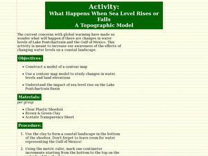
Students examine the impact of sea level on land formations. In this geography and map lesson, students construct a contour map model illustrating how much of the clay "coastline" is covered as water is added. Metric measurement is...
Curated OER
Establishing Borders: The Expansion of the United States 1846-48
Students investigate how the United States acquired land after the Revolutionary War ended. In this establishing borders instructional activity, students use maps to identify territories acquired by the US and the states that later...
Curated OER
Rice Farming in Texas
Third graders explore how rice farming came to Texas. In this rice farming instructional activity, 3rd graders discover the history of how farmers began to grow rice in the United States. Students color code maps and create a timeline...
Curated OER
Third Grade Social Studies-Multiple Choice Activity
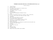
In this grade 3 social studies activity, 3rd graders complete a set of 25 questions about a variety of topics including geography, types of communities, map and questions about the environment.
Curated OER
Countries and Languages Quiz
For this online interactive geography quiz worksheet, students examine the chart that includes 20 languages. Students identify the names of the countries with the greatest number of native speakers in 4 minutes.
Curated OER
City to Country Quiz
In this online interactive geography quiz worksheet, students examine the chart that includes 20 world cities. Students identify the names of the countries where the cities are located in 4 minutes.
Curated OER
East to West: Africa's Influence on Mexico
Your historians and social anthropologists study the relationship between peoples of ancient Africa and ancient Mesoamerica. They relate in written or verbal form the African presence in the ancient Americas. They create their own...
Curated OER
Meet the Mayas, Aztecs and Incas
Students study the geography of the Mayas, Aztecs and Incas and create a map book. They share in stories and legends about these people. Handouts and worksheets are included.
Curated OER
Traveling Through North America
Students identify places and landmarks in North America, specifically Canada and the United States, by using and constructing maps. Six lessons on one page; includes test.
Curated OER
Seas, Gulfs and Bays
Students define gulf, bay, and sea. In this bodies of water mapping lesson, students locate seas, gulfs and bays and explain how they knew which body of water it was.
Curated OER
Globe Lesson- Early Spanish Settlements
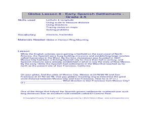
Students use a globe. In this geography and early settlements lesson, students learn about the settlement of missions and haciendas in New Mexico. Students locate Mexico City and San Francisco on the globe and determine the distance...
Curated OER
America the Beautiful
Students analyze the physical geography of the United States and how we have adapted to or altered the land to create the country we know today. Students complete maps with physical features, states and cities of interest.
Curated OER
Gray Whales on the Move
Students study whale migration and their natural history. In this migration lesson students plot whale migration on a map and describe their ecosystems.
Curated OER
The Global Village and Trade
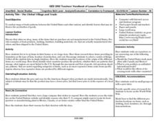
Pupils analyze maps of trade patterns between the United States and other nations and identify factors that may influence the production of goods.
Curated OER
Fields of Candy Bars
Pupils research and write about the origins of the ingredients in candy bars. They taste them and describe what they are tasting. They use descriptive words to write a paragraph describing the candy bar. They research ingredients in...
Curated OER
Monarch Migration
In this science and geography worksheet, students read a short passage about the migration pattern of the monarch butterfly. Students trace a path on the U.S. map showing the winter and spring migration.
Curated OER
Come On Over To Maya Place
Fifth graders analyze the Mayan culture. In this Mayan culture lesson, 5th graders study the Mayan culture noting similarities and differences between the Mayan culture and their own. Students examine hieroglyphic writing and the Mayan...


