Kidport
Kidport: United States of America Geography
This site contains a fun way to learn about the states within the United States. Click on the state that you want to learn more about and it provides facts, geographic landmarks, points of interest, major industries, a quiz and more.
Maps of Mexico
Virtual Picture Travel Map of Massachusetts
Click on Massachusetts on the US map in order to Travel there and take a virtual tour of Boston. Visit places of interest such as Harvard University, MIT, John F. Kennedy Library and Museum, the Freedom Trail, Copley Square, Trinity...
Maps of Mexico
Virtual Picture Travel Map of Massachusetts
Click on Massachusetts on the US map in order to Travel there and take a virtual tour of Boston. Visit places of interest such as Harvard University, MIT, John F. Kennedy Library and Museum, the Freedom Trail, Copley Square, Trinity...
Geographic
Mexico (Maps)
Maps of Mexico, including one with major cities, and another with the Mexican states.
Encyclopedia of Earth
Encyclopedia of Earth: Mexico
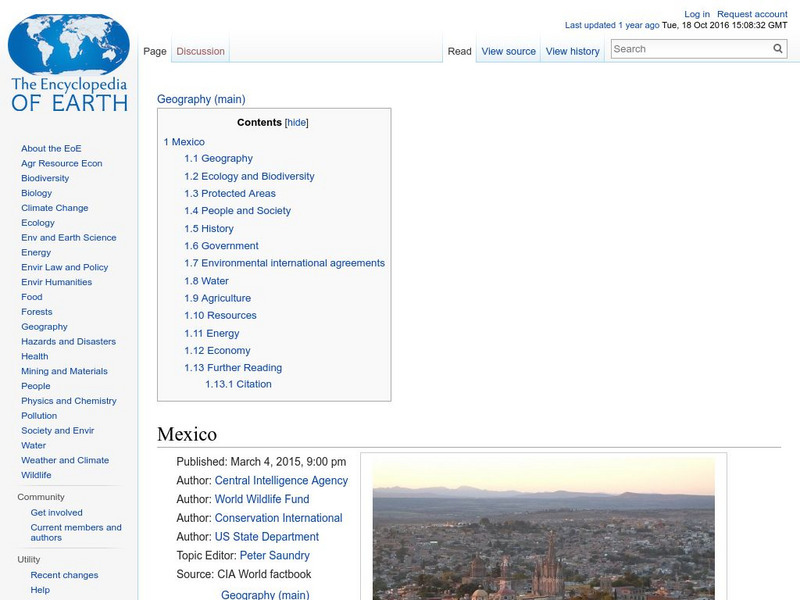
The Encyclopedia of Earth provides an overview of Mexico, including its geography, natural resources, history, government, economy, and much more. Maps and images are also included, along with sources used to create the entry.
Enchanted Learning
Enchanted Learning: Mexico Map: Quiz Printout
Utilize the Mexico map quiz to test student's knowledge of geography, location of cities and capitals in Mexico.
Houghton Mifflin Harcourt
Holt, Rinehart and Winston: America Del Norte: Mexico
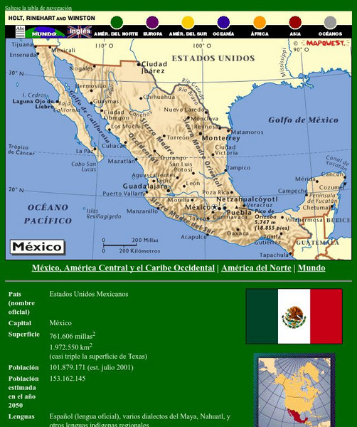
This site has a map of Mexico in Spanish, with informational data also presented in Spanish about the country. Land mass, population, life expectancy, literacy, industry, agriculture, minerals and resources are among the topics...
A&E Television
History.com: The States
Learn unique facts about each American state. You can also read a more in-depth history of each state, watch videos and play a game about all the states.
Foundation for the Advancement of Mesoamerican Studies
Famsi: Map of Maya Area
Map shows the locations of Mayan sites in Belize, El Salvador, Guatemala, Honduras and Mexico.
Curated OER
Perry Castaneda Map Collection: Latin America Map
This political map of Latin America and South America is in color and features major cities.
Cayuse Canyon
The Us50
This clickable map of the United States gives students access to research information from history and tourism to attractions and famous historic figures.
Curated OER
Map of Mexico
Take a tour through the country of Mexico in this enchanting site. Students will learn about the culture and visit with the people as they explore the geography, history, and environment of Mexico. It includes maps, classroom activities,...
InterKnowledge Corp.
Geographia: Latin America
This Geography portal to Latin America features maps, photos, and drawings relating to each country. Click on desired country icon to see related pages.


