BBC
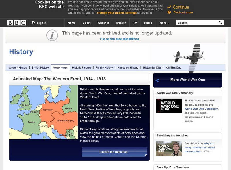
Bbc History: World Wars: World War One: Animated Map: Western Front, 1914 18
Animated map of the war's western front shows the attacks, counterattacks, and shifts in military strategy that took place along this line of battle over the full course of the World War One.
Library of Congress
Loc: Battle of the Bulge
HQ Twelfth Army Group situation maps of the Battle of the Bulge.
Library of Congress
Loc: World War Ii Military Situation Maps
Interactive timeline with audio feature depicts the key events of "The Battle of the Bulge" which took place in northern France beginning December 16, 1944 to January 18, 1945 as told through the daily situation maps made for the US...
University of Texas at Austin
Ut Library Online: Historical Maps of the United States
This extensive collection of Historical United States maps from the University of Texas Library Online cover early inhabitants, exploration and settlement, territorial growth, military history, and later historical maps. These maps are...
University of Illinois
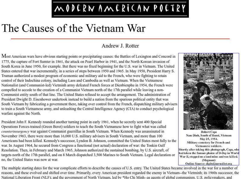
University of Illinois: Maps: Causes of the Vietnam War
This essay from The Oxford Companion to American Military History goes into the causes of the Vietnam War and shows how the United States became embroiled incrementally from the 1950s up to 1965. An interesting section explains how the...
Other
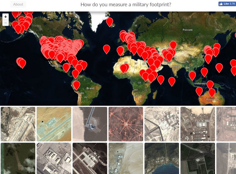
Mapping United States Military Installations
How do you measure a military footprint? In people? Dollars? Space? This website is an ongoing attempt to map one aspect of that question- by visualizing the location of United States military installations.
CNN
Cnn: Map of Afghanistan
Portrays a map of Afghanistan showing its relationship to other countries in the region. Click on the words above the map for different topics such as military activity in 2001, where Afghan refugees are living, and Afghan civil wars....
Other
Military Analysis Network: Map of Nato Member Nations
Great map of Europe with color coated countries denoting when they joined NATO.
BBC
Bbc: Animated Map: The Battle of El Alamein
Colorful animated map series on the Battle of El Alamein. Map provides detailed information on military advances and tactics, accompanied by explanatory text. Archived.
Other
Military History Encyclopedia on the Web
Articles, pictures, maps, timelines and consolidated subject pages on the history of war and military engagements. Use any one of a dozen indexes to locate conflicts or battles of interest. Includes many useful extras, such as...
US Army Center
U.s. Army Center of Military History: The Centennial: Omar Nelson Bradley
This lengthy biography of General Omar Bradley was written on the centennial of his birth. It traces his life as a military man through World War I, World War II, and Chairman of the Joint Chiefs of Staff. Included is a map that shows...
US Army Center
U.s. Army Center of Military History: The Whirlwind War
This site, provided by the U.S. Army, contains the hyperlinked text of The Whirlwind War, an extensive history of the Army's role in the Persian Gulf War. This is the whole book, so there is an abundance of resources here, including...
US Army Center
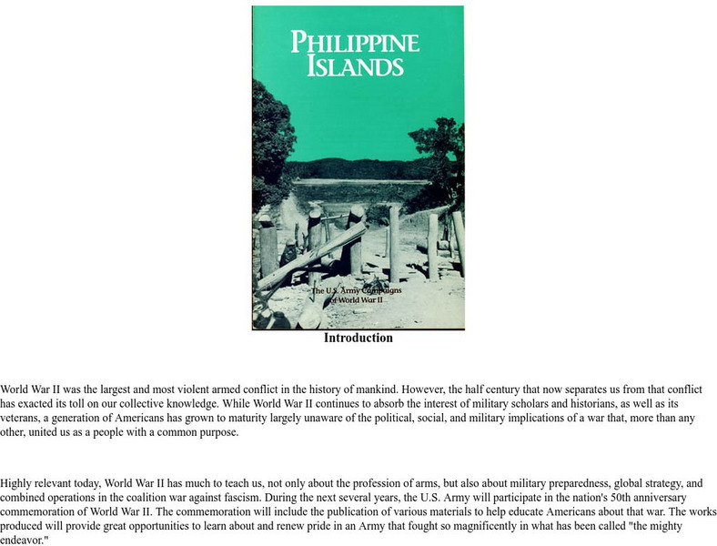
U.s. Army Center of Military History: Wwii Philippines/bataan Peninsula
A very good overview of the WWII Japanese conquest of the Philippines, with information on the Bataan Peninsula specifically, including a map, toward the bottom of the page.
University of Texas at Austin
Map of the West Bank
A colorful political map of the West Bank of the Jordan River. Shows shrines, mines, antiquities sites, bordering countries, Israeli civilian and military areas,roads, and razed villages. Map reflects the territory in 1992.
Curated OER
Ut Legacy Library: Map of the Gaza Strip
A colorful map of the Gaza Strip (1991) showing the 1950 Armistice Line, Israeli military and civilian areas, highways, etc.
US Army Center
U.s. Army Center of Military History: Map of the Battle of the Ch'ongch'on
This US Army site features a very detailed battle map from the November 25-28, 1950 battle.
The Newberry Library
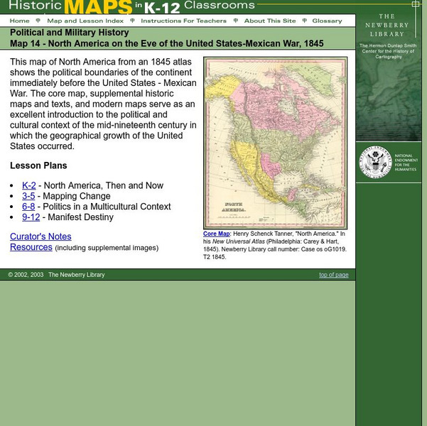
Newberry: Political and Military History: Map 14: u.s. Mexican War, 1845
Lessons for students in K-12 depicting North America prior to the United States and Mexico War, 1845. Students explore the mid-century political and cultural context in which the U.S. experienced growth and expansion.
Curated OER
National Park Service: Vicksburg National Military Park: Vicksburg Campaign Map
A small map showing Grant's line of march on Vicksburg from March through May, 1863.
Curated OER
National Park Service: Vicksburg National Military Park: Bayou Expeditions Map
This site provides a black and white map detailing the Bayou Expeditions of the Vicksburg Campaign.
Other
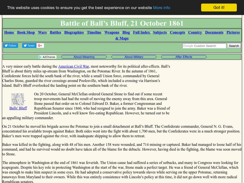
Military History Encyclopedia on the Web: Battle of Ball's Bluff
Read a description of the relatively minor Battle of Ball's Bluff and find out the political ramifications of the battle. Included is a battle map.
Central Intelligence Agency
Cia: World Factbook: Netherlands
This resource from the CIA World Factbook provides a detailed fact sheet of the Netherlands. The content covers the country's geography, people, government, economy, communications, transportation, military, and transnational issues. It...
Central Intelligence Agency
Cia: World Factbook: Peru
This resource from the CIA World Factbook provides a detailed fact sheet of Peru. The content covers the country's geography, people, government, economy, communications, transportation, military, and transnational issues. It includes...
Central Intelligence Agency
Cia: World Factbook: Oman
A concise description of Oman, including geography, people, government, economy, communications, transportation, military, transnational issues. The resource includes a map.
Central Intelligence Agency
Cia: World Factbook: Moldova
This resource from the CIA World Factbook provides a detailed fact sheet of Moldova. The content covers the country's geography, people, government, economy, communications, transportation, military, and transnational issues. It includes...


