Curated OER
Educational Technology Clearinghouse: Maps Etc: Delhi, 1912
A city plan from 1912 of Delhi, India, on the bank of the River Jumna (Yamuna), a tributary of the Ganges. At the time, Delhi was declared the political and administrative capital of British India (1911), replacing the former capital of...
Curated OER
Educational Technology Clearinghouse: Maps Etc: Lucknow, 1912
A city plan from 1912 of Lucknow, India, on the Gumti (Gomti) River, a tributary of the Ganges River. The plan shows the major thoroughfares, railways and railway stations, hospitals, military installations, government buildings, and...
Curated OER
Educational Technology Clearinghouse: Maps Etc: Cawnpore, 1912
A city plan from 1912 of Cawnpore, India, on the southern bank of the Ganges River. The Indian city of Cawnpore (now Kanpur) was one of India's most populous northern cities. The plan shows the major thoroughfares, railways and railway...
Curated OER
Educational Technology Clearinghouse: Maps Etc: Montana, 1920
A map from 1920 of Montana showing the capital of Helena, counties and county seats, major cities and towns, Indian reservations, military reservations, railroads, rivers, and mountains. The boundaries of Yellowstone National Park,...
Curated OER
Educational Technology Clearinghouse: Maps Etc: Nebraska, 1920
A map from 1920 of Nebraska showing the capital of Lincoln, counties and county seats, major cities and towns, railroads, National Forest boundaries, Military reserve boundaries, and rivers.
Curated OER
Educational Technology Clearinghouse: Maps Etc: Plan of Odessa, 1903
A city plan of Odessa, Ukraine, from 1903 showing the shoreline of the Black Sea, the major thoroughfares, railroads and railroad stations, the harbors on Odessa Bay, churches, hospitals, military installations, cemeteries, the botanical...
Curated OER
Educational Technology Clearinghouse: Maps Etc: Utah, 1920
A map from 1920 of Utah showing the capital at Salt Lake City, counties and county seats, principal cities and towns, Indian reservations, forest reserves, military reservations, railroads, mountains, lakes, rivers, and the Great Salt...
Curated OER
Educational Technology Clearinghouse: Maps Etc: Wyoming, 1920
A map from 1920 of Wyoming showing the capital, Cheyenne, counties and county seats, Indian reservations, principal cities and towns, railroads, military reservations, mountains, rivers, and the Yellowstone National Park.
Curated OER
Map of Reunion
Contains detailed information about Reunionese people, the geography and economy, government, military, and communications of this French island department.
Curated OER
Educational Technology Clearinghouse: Maps Etc: New Mexico, 1920
New Mexico, showing physical features. Includes military reservation boundaries.
Latimer Clarke Corporation
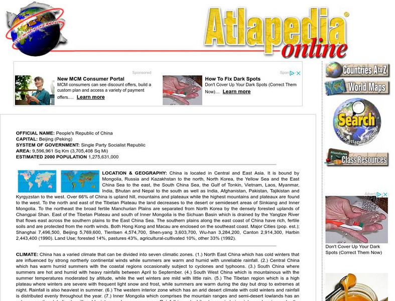
Atlapedia Online: China
A great resource for facts about China. This site is organized into several sections including "Location & Geography," "Climate," "People," "Demographic/Vital Statistics," "Religions," "Languages," "Education," and "Modern History -...
Other
Personal Site: The Roman Army
A very extensive personal site dealing with all aspects of the Roman Army: organization, leadership, tactics, logistics and much more. Click on the "Site Map" at bottom of home page to get a listing of the individual topics.
Hans Lohninger
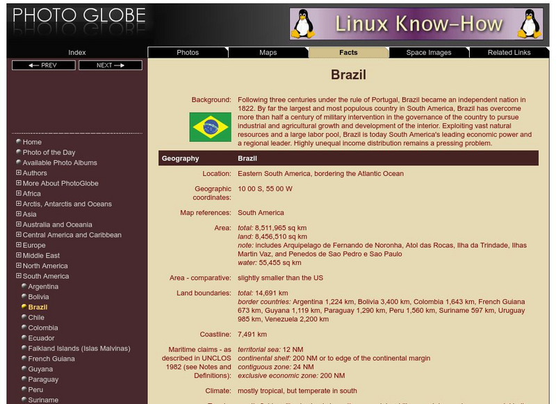
Photo Globe: Brazil
Presents many general country specific facts about Brazil in a well organized chart form. Content includes: geography, people, government, economy, communications, transportation, military, and transnational issues. This site is enriched...
Hans Lohninger
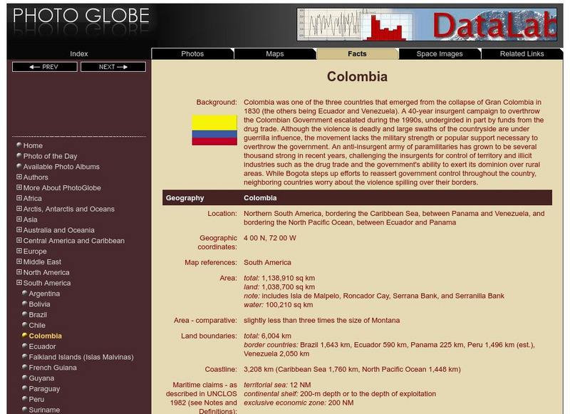
Photo Globe: Colombia
Presents many general country facts about Colombia in a well organized chart form. Content includes: geography, people, government, economy, communications, transportation, military, and transnational issues. This site is enriched by...
Hans Lohninger
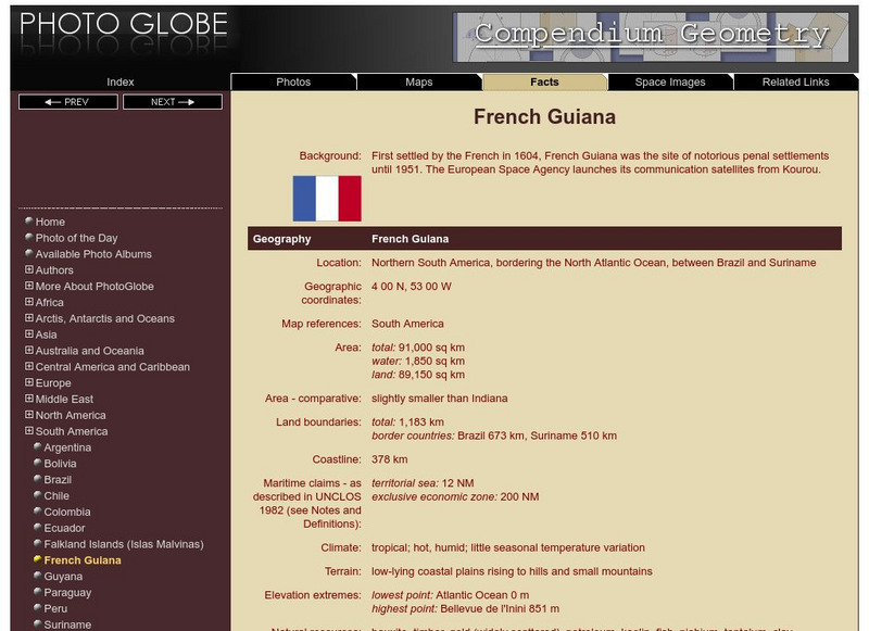
Photo Globe: French Guiana
Features many country specific facts about French Guiana in a well organized chart form. Content includes: geography, people, government, economy, communications, transportation, military, and transnational issues. This site is enriched...
Hans Lohninger
Photo Globe: Guyana
Offers general country specific facts about Guyana in a well organized chart form. Content includes: geography, people, government, economy, communications, transportation, military, and transnational issues. This site is enriched by a...
Hans Lohninger
Photo Globe: Paraguay
Provides many general country facts about Paraguay in a well organized chart form. Content includes: geography, people, government, economy, communications, transportation, military, and transnational issues. This site is enriched by a...
Hans Lohninger
Photo Globe: Suriname
Examines general country specific facts about Suriname in a well organized chart form. Content includes: geography, people, government, economy, communications, transportation, military, and transnational issues. This site is enriched by...
Hans Lohninger
Photo Globe: Uruguay
Explores general country facts about Uruguay in a well organized chart form. Content includes: geography, people, government, economy, communications, transportation, military, and transnational issues. This site is enriched by links to...
Hans Lohninger
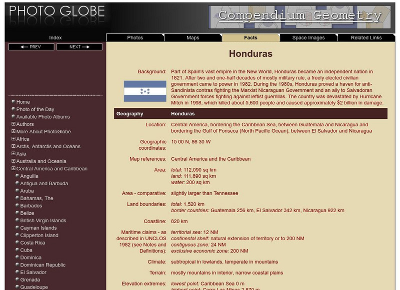
Photo Globe: Honduras
Presents country specific facts about Honduras in a well organized chart form. Content includes: geography, people, government, economy, communications, transportation, military, and transnational issues. This site is enriched by links...
Hans Lohninger
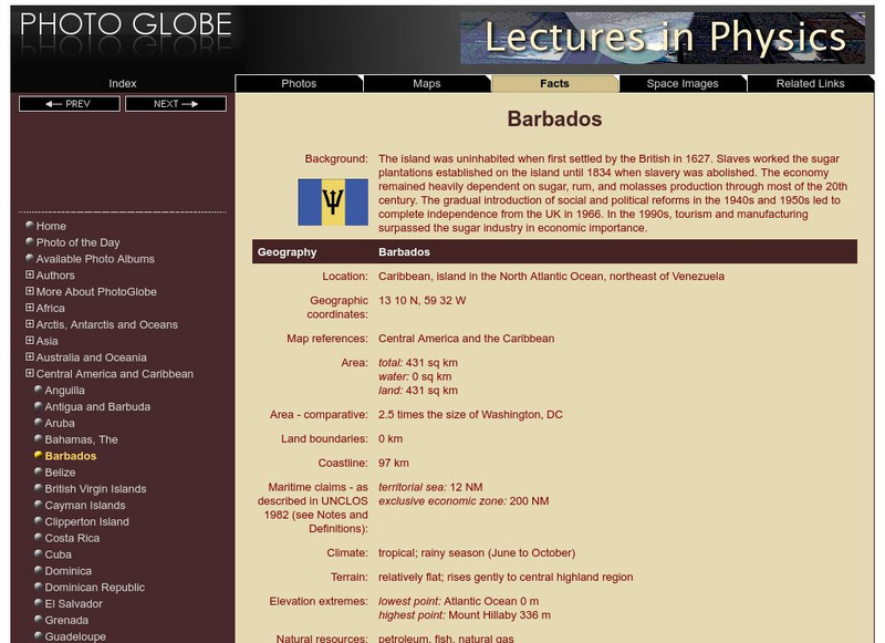
Photo Globe: Barbados
Provides many country specific facts about Barbados in a well organized chart form. Content includes: geography, people, government, economy, communications, transportation, military, and transnational issues. This site is enriched by...
Hans Lohninger
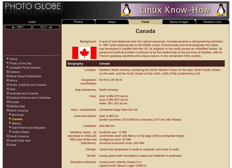
Photo Globe: Canada
Presents many general country facts about Canada in a well organized chart form. Content includes: geography, people, government, economy, communications, transportation, military, and transnational issues. This site is enriched by links...
Latimer Clarke Corporation
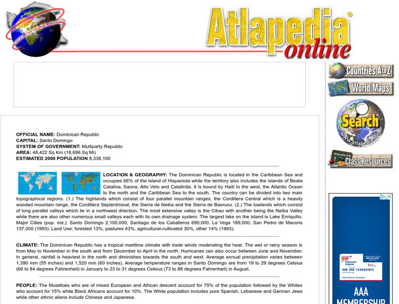
Atlapedia Online: Dominican Republic
A complete profile of the Dominican Republic including highlights on its geography, climate, people, modern history, economy, communications, and military. Click on the maps to enlarge them.
Latimer Clarke Corporation
Atlapedia Online: Barbados
A complete profile of Barbados including highlights on its geography, climate, people, modern history, economy, communications, and military. Click on the maps to enlarge them.


