Curated OER
Map, the Bocage Country 2 July 1944
This military history essay describes the landing of the United States Army during the Normandy Invasion of June 6, 1944.
Curated OER
Bbc: Military Coup Ousts Niger President Mamadou Tandja
This BBC article discusses the coup that took place in NIger, removing President Mamadou Tandja from power and installing a new leadership under the Supreme Council for the Restoration of Democracy (CSRD). (19 February 2010)
PBS
Nova: The Nazi Prison Escape Tunnel
Explore one of the three escape tunnels secretly engineered by Allied airmen imprisoned at the Nazi POW camp Stalag Luft III. Follow the escape of the 76 men through the 300-foot tunnel using this interactive map drawn by one of the POWs...
A&E Television
History.com: How Far Did Ancient Rome Spread?
Legend has it that Romulus and Remus -- twin brothers who were also demi-gods -- founded Rome on the River Tiber in 753 B.C. Over the next eight and a half centuries, it grew from a small town of pig farmers into a vast empire that...
Curated OER
Etc: American Rev War Operations in the West, 1775 1782
A map of the Northwest Territory between the Allegheny Mountains and the Mississippi River and the Great Lakes to the Tennessee River showing the military operations and extent of settlement in the area during the American Revolutionary...
Curated OER
Etc: Oregon Trail and Other Routes, 1832 1842
A map of western North America between the opening of the Oregon Trail in 1832 to 1842, prior to the establishment of the Provisional Government of Oregon by American settlers in 1843. The map shows the boundary of the Oregon Country,...
Curated OER
Etc: Theatre of War in the United States, 1861 1865
A map showing the extent of the Confederate territories east of the Mississippi River during the American Civil War (1861-1865). The map shows state lines and capitals, major cities, forts, battle sites, and rivers in the region. The map...
Curated OER
Etc: Development of the Northwest Territory in Us, 1790 1810
A map of the American Northwest Territory showing the boundary developments in 1790, 1800, and 1810. The upper left map shows the territory acquired by the United States from Britain after the Revolutionary War as established by the...
Curated OER
Etc: Dev of Colonies and Early Western Explorations, 1700 1775
A map of eastern North America showing the early development of the European colonies and westward exploration to the Mississippi River. The map shows the routes of several early explorers with dates of exploration, including La Salle,...
War Times Journal
War Times Journal: The Battle of the Brandywine
A detailed article on the Battle of the Brandywine on September 11, 1777, that describes the military strategy and players in both the British and American armies. Be sure to click on the map that shows how the troops were drawn up.
Texas State Library and Archives Commission
Texas State Library and Archives Commission: The Goliad Massacre
Political infighting among Texas politicians doomed military strength. In this Texas Library site read about the Goliad Massacre, which was a result of that confusion. Click on the maps and documents to seen enlargements. Links are...
Other
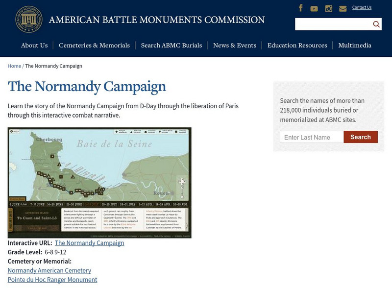
American Battle Monuments Commission: Combat Narrative: Normandy Advance
Details of the Allied military movements during the invasion of Normandy on an interactive map. Covers a three-month period, beginning with D-day (June 6) and ending with the liberation of Paris in late August.
Library of Congress
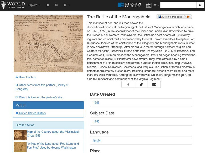
World Digital Library: The Battle of the Monongahela
A map showing military positions at the start of the Battle of Monongahela in 1755, during the French and Indian War. A feature on the page allows the visitor to listen to and read the accompanying descriptive text in seven different...
Annenberg Foundation
Annenberg Learner: A Biography of America
Learn about the full sweep of U.S. history at this comprehensive site based on a PBS series and telecourse. The series compresses several centuries of events, issues, and people in U.S. history into twenty-six half-hour programs. A team...
Central Intelligence Agency
Cia: World Factbook: Pakistan
This resource from the CIA World Factbook provides a detailed fact sheet of Pakistan. The content covers the country's geography, people, government, economy, communications, transportation, military, and transnational issues. It...
Central Intelligence Agency
Cia: World Factbook: Mexico
This resource from the CIA World Factbook provides a detailed fact sheet of Mexico. The content covers the country's geography, people, government, economy, communications, transportation, military, and transnational issues. It includes...
Central Intelligence Agency
Cia: World Factbook: Venezuela
This resource from the CIA World Factbook provides a detailed fact sheet of Venezuela. The content covers the country's geography, people, government, economy, communications, transportation, military, and transnational issues. It...
Central Intelligence Agency
Cia: World Factbook: Jamaica
This resource from the CIA World Factbook provides a detailed fact sheet of Jamaica. The content covers the country's geography, people, government, economy, communications, transportation, military, and transnational issues. It includes...
Central Intelligence Agency
Cia: World Factbook: Portugal
This resource from the CIA World Factbook provides a detailed fact sheet of Portugal. The content covers the country's geography, people, government, economy, communications, transportation, military, and transnational issues. It...
Central Intelligence Agency
Cia: World Factbook: Virgin Islands
This resource from the CIA World Factbook provides a detailed fact sheet of U.S. Virgin Islands. The content covers the territory's geography, people, government, economy, communications, transportation, military, and transnational...
Central Intelligence Agency
Cia: World Factbook: Japan
This resource from the CIA World Factbook provides a detailed fact sheet of Japan. The content covers the country's geography, people, government, economy, communications, transportation, military, and transnational issues. It includes...
Central Intelligence Agency
Cia: World Factbook: United States
This resource from the CIA World Factbook provides a detailed fact sheet of United States. The content covers the country's geography, people, government, economy, communications, transportation, military, and transnational issues. It...
Penn Museum
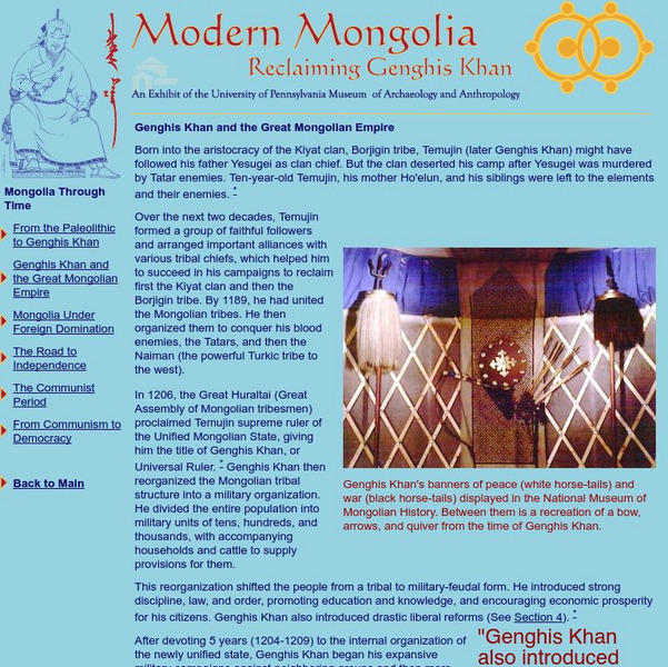
Penn Museum: Modern Mongolia: Reclaiming Genghis Khan
Mongolia, its history, culture, and modern economy are all covered in this online exhibit.
Penn Museum
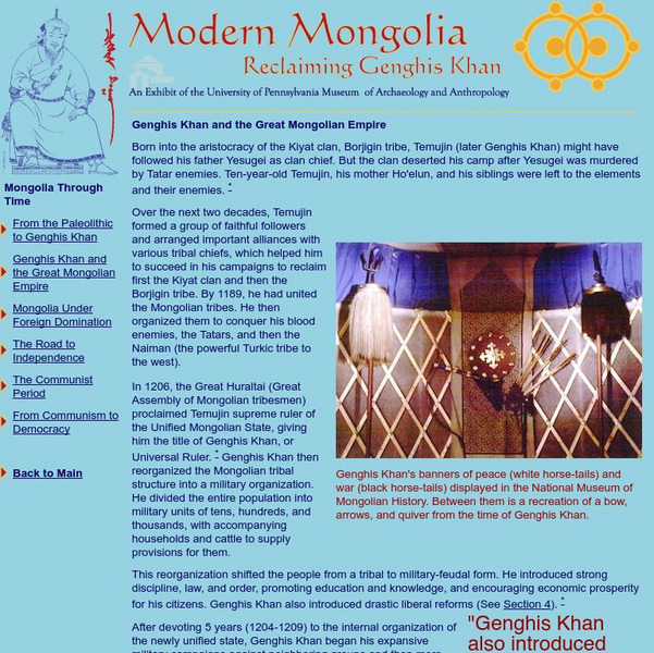
Penn Museum: Modern Mongolia: Reclaiming Genghis Khan
Mongolia, its history, culture, and modern economy are all covered in this online exhibit.


