Black Past
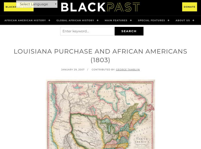
Black Past: Louisiana Purchase and African Americans
In this brief encyclopedia article, you find the effect the Louisiana Purchase had on African-Americans because of the new land added to the United States. There is a link to a website that gives additional information about the...
Curated OER
Educational Technology Clearinghouse: Maps Etc: United States, 1821
A map of the United States and territories in 1821 after the Missouri Compromise, showing the Free States and territories, the Slave States and territories, and the transitional territories at the time. The map is color-coded to show the...
Curated OER
Educational Technology Clearinghouse: Maps Etc: The United States, 1821
A map of the United States in 1821 showing the states and territories which either accepted or abolished slavery after the Missouri Compromise of 1820. The map is color-coded to show absolutely free states, states undergoing gradual...
Curated OER
Etc: Maps Etc: The United States, September, 1850
A map of the United States at the time of the passing of the Compromise of 1850 (September, 1850). This compromise was a series of bills attempting to resolve territorial and slavery issues raised by the Missouri Compromise (1820) and...
Curated OER
Educational Technology Clearinghouse: Maps Etc: The United States, 1821
A map of the United States and territories showing the westward expansion after the Missouri Compromise (1820) and the admission of Missouri into the Union in 1821.
Curated OER
Etc: Slavery and Slave Trade, 1830 1850
A map of the United States during the period of 1850 to 1850 showing the effects of slavery, the slave trade, and the abolition movement on territorial development. The map uses colored patterns to indicate the areas and phases of...
Curated OER
Etc: Slavery and the Slave Trade, 1830 1850
A map of the United States during the period of 1850 to 1850 showing the effects of slavery, the slave trade, and the abolition movement on territorial development. The map uses colored patterns to indicate the areas and phases of...
Curated OER
Etc: Maps Etc: Test Vote on the Kansas Nebraska Bill, 1854
A map of the United States in 1854 showing the results of the test-vote on the Kansas-Nebraska Bill in the House of Representatives, which would repeal the Missouri Compromise of 1820 and allow territorial settlers to determine if...
Curated OER
Etc: Maps Etc: United States and the Slavery Prohibition Issue, 1850
A map of the United States and territories at the time of the slavery prohibition issue in 1850, after the Missouri Compromise of 1820. The map is color-coded to show the areas where slavery was prohibited by State Law, slavery was...
Curated OER
Educational Technology Clearinghouse: Maps Etc: Freedom and Slavery, 1820
A map of the United States and territories showing the free areas and areas open to slavery as established by the Missouri Compromise of 1820.
Curated OER
Educational Technology Clearinghouse: Clip Art Etc: James Monroe
(1758-1831) Fifth President of the United States, whos administration was marked by the Monroe Doctrine, Missouri Compromise, the acquisition of Florida, and delcaring U.S. opposition to European interference in the Americas.
PBS
Pbs: Bleeding Kansas 1853 1861
This site details events surrounding the era known as "Bleeding Kansas" due to the conflict surrounding slavery in what is now Kansas.
Other popular searches
- Missouri Compromise 1820
- Missouri Compromise Map
- The Missouri Compromise
- Missouri Compromise of 1820
- Slavery Missouri Compromise
- Compromise of 1850 Missouri
- Map of Missouri Compromise
- Missouri Compromise 1850
- Thr Missouri Compromise
- Thar Missouri Compromise


