Curated OER
A Model of Three Faults
Students investigate faults. In this science lesson, students explore the many stresses and strains in the earth's layers and research the types of faults in their state.
Curated OER
AdVENTurous Findings on the Deep Sea Floor
Students conduct investigations to observe formations of precipitates, then create models of developing hydrothermal vents. They compare the models with the actual hydrothermal vents developing along the Galapagos Rift.
Curated OER
Mapping Seamounts in the Gulf of Alaska
Students describe major topographic features on the Patton Seamount, and interpret two-dimensional topographic data. They create three-dimensional models of landforms from two-dimensional topographic data.
Curated OER
Pangaea Puzzle
Students explore plate tectonics and the formations of the Earth's surface and why maps are distorted. In this Earth's surface lesson plan students complete a lab and answer questions.
Curated OER
Plate Tectonics
Students simulate the three types of plate boundaries using robots. In this earth science lesson plan, students explain how earthquakes and volcanoes are formed. They collect real-world earthquake data and plot them on the map.
Curated OER
Plate Tectonic - Volcanoes Lab
Second graders create analogs for lava and magma in experiments.
Curated OER
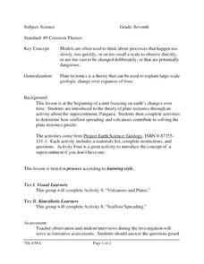
Science
Seventh graders study the theory of plate tectonics. In this activity lesson students complete an activity to determine how seafloor spreading and volcanoes contribute to solving the plate tectonics puzzle.
Science Matters
Fault Formations
The San Andreas Fault moves about two inches a year, approximately the same rate fingernails grow—crazy! The third lesson in the series allows for hands-on exploration of various fault formations. Through the use of a Popsicle stick,...
Science Matters
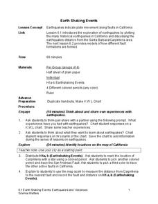
Earth Shaking Events
The world's largest measured earthquake happened in 1960 in Chile, reaching a terrifying 9.5 magnitude on the Richter Scale. The second lesson in the 20-part series introduces earthquakes and fault lines. Scholars map where previous...
Centers for Ocean Sciences
Ocean and Great Lakes Literacy: Principle 7
Your mission, should you choose to accept it, is to take your class on an underwater adventure. The final installment in a seven-part series involving salt and freshwater bodies takes junior oceanographers below the surface in...
Curated OER
Which Boundary Am I?
Sixth graders find 12 statements which describe the characteristics of the three boundary types, arranged in random order. Their task is to read each statement, and then CUT and PASTE it to the the appropriate boundary icon.
Curated OER
Earthquake Machine
Young scholars explore plate tectonics by conducting a class experiment. In this earthquake lesson, students utilize scrap wood, sandpaper, rubber bands and a sanding belt to create a model earthquake experiment which shakes a nearby...
Curated OER
Heat Up the Floating Plates
Eighth graders research the connection between the convection currents within the mantle of the earth and the moving of Earth's plates. A connection to lessons at previous grade levels on the rock cycle and important background...
Curated OER
Continental Drift
Learners simulate convection waves using a model. In this earth science lesson, students explain the effect of plate movements to Earth's geography. They use the internet to find answers to graphic organizer questions.
Curated OER
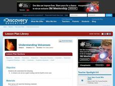
Understanding Volcanoes
Students create a model volcano in groups, and discuss what each part of the model represents as they go along. In this volcano lesson, students come back together as a whole group and discuss what group did the best work, according to...
Curated OER
Cruising the Mantle
Young scholars explore the plate boundaries of the earth. Through the use of video, internet and hands-on activities, students examine the types of plate boundaries. They create a model to illustrate the movement and interaction of the...
Curated OER
Planet Earth in Cross Section
Students will examine the layers of the Earth. In this geology lesson, students create a scale model of the Earth's interior using cash register tape. They will determine the percentage of error in the scale compared to the actual size...
Curated OER
Earthquakes: Second Grade Lesson Plans and Activities
What causes earthquakes? Second graders learn about stresses from plate movement with a set of hands-on activities. After tracing fault lines on a map with yarn, class members create a paper plate model of Earth to show its layers and...
Curated OER
Volcanoes: Third Grade Lessons Plans and Activities
Discover how rocks are formed from volcanoes during a geology pre-lab activity. Third graders describe the volcanic rock samples and creating a model of Mt. Lassen, located in California. The lesson culminates in a discussion about how...
Ocean Explorer
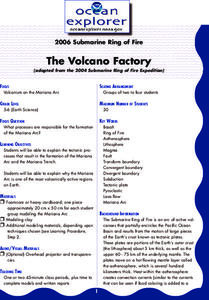
The Volcano Factory
The tectonic processes that have resulted in the formation of the Marianas Arc, and the Marianas Trench are explored. Groups of pupils access websites that give them a wealth of information about these formations. Each group must prepare...
Alabama Learning Exchange
Action at Plate Boundaries
Students diagram the spreading of the ocean floor. In this earth science lesson plan, students read an article on plate boundaries of the ocean. Students are expected to diagram the oceanic convergent boundary, and give a written...
Curated OER
How Volcanoes Grow
Learners study volcanoes including rock fragments, ash, aerosols and gases. In this volcano instructional activity students divide into groups and build models of the three major types of volcanoes.
Curated OER
How Deep is the Ocean
Students predict and then analyze the layout of the tectonic plates that form the ocean's floor using mapping skills and Inquiry based problem solving, They compare the depth of various regions in the ocean with the geologic age to...
Curated OER
How Creepy!
Students observe and measure a model of slow down slope movement. In this graphing lesson students collect, record, and organize data that apply to models.


