Curated OER
Landforms - Landform Types (Matching)
In this landforms worksheet, students match land forms with their definitions. Students complete 11 matches total on this worksheet.
Curated OER
Plate Tectonic - Volcanoes (K)
Pupils observe how lava flows from a volcano by watching the teacher create a mini volcano with shaving cream.
Curated OER
Earth's Land and Water
Students describe physical characteristics of bodies of water and landforms. In this land and water lesson plan, students model land and water with modeling clay and also discuss why people live near bodies of water.
Curated OER
China
Sixth graders become more aware of how land features, climate, and vegtation affect civilization. Students are divided into groups and research one of China's regions. They make a relief of their designated area.
Curated OER
Get to Know Your City
Third graders research the history of their home city and how it's development was influenced by different groups of people. They present their research information to the class.
Curated OER
Geology with Peanut Butter and Jelly
Pupils will enjoy smashing the two tectonic sandwich plates together in faulting and compression fashions! They may even desire to capture their instructional destruction in a slideshow.
Curated OER
Exploring the Night Sky: Fall/Winter
Young scholars explain how moon phases occur. They explain three ways that the night sky has been used through history. Students locate some of the constellations in the night sky. They discuss stories and myths surrounding stars.
Curated OER
Surface Water
In this surface water worksheet, students review water runoff, drainage basins, and river erosion. This worksheet has 7 multiple choice and 3 fill in the blank questions.
Curated OER
Journey Through Time
Students examine the movement of the Bison over the land bridge. In groups, they use the events to put them into the correct sequence. They apply measurement to chronological time and read more information about the land bridge.
Curated OER
Bison Calculations
Learners discuss how animals are cared for when they are captured. Using calculations, they determine how much food and water it takes for one bison and compare their water intake to humans. They also compare their weight to that of a...
Curated OER
What is a Ruminant?
Students examine the way bison eat and digest their food. Using a diagram, they follow the food from one compartment to the next. They discover that bison are ruminants and discuss why the bison need four stomachs.
Curated OER
Bison Sites of Texas
Pupils locate bison-related sites on a map and identify important bison-related sites. The Bison has had a profound effect on the history of Texas and studenst discover the importance of the animal to the history of the state.
Curated OER
Analyzing a Picture
Students examine various photographs and identify three conclusions from them. Using the pictures, they write their own story based on their observations. They share their stories with the class and discuss how some of their...
Curated OER
Knowing Where You Are
Fifth graders research place names of one section of their state and create a chart to show their findings.
Curated OER
Knowing Where You Are
Learners work together to research the names of places in their state. They divide up their state so that each group can research a different section and complete a chart of the different names. They create a key for the map to explain...
Curated OER
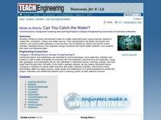
Can You Catch the Water?
Students work together to construct a model of a water catchment basin. They survey water patterns and complete experiments to see where rain travels and collects. They discover how engineers design structures that help with drainage.
Curated OER
VAcations in Northern California
Students explore the natural resources and National Parks of Northern California that are commonly visited by people traveling in the United States. They use maps to locate various sites, plan a highway travel route and use the internet...
Other
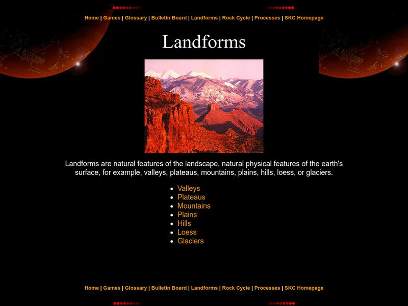
Landforms
The education department of Prince Edward Island has a great page with information pertaining to landforms. Starting with a definition, it then moves to the specific types like valleys, mountains, plateaus, etc.
TeachEngineering
Teach Engineering: Can You Catch the Water?
Students construct a three-dimensional model of a water catchment basin using everyday objects to create hills, mountains, valleys and water sources. They experiment to see where rain travels and collects, and survey water pathways to...
Bartleby
Bartleby.com: Robert Frost
The site provides background and texts of numerous poems. Follow the links at the bottom of the page to specific poetry books to find complete text of individual poems.
Curated OER
Etc: Maps Etc: Ethnolinguistic Groups of China, 1971
" Ethnolinguistic Groups - Almost all inhabitants of mainland China are of Mongoloid stock, and ethnic distinctions in the country are largely linguistic rather than racial. The Han comprise nearly 95 percent of the population; the...
Curated OER
Educational Technology Clearinghouse: Maps Etc: Northeast China, 1971
"Northeast China - the provinces of Heilungkiang, Kirin, and Liaoning - is the most important region of the country and a nationally significant and still-developing center of agricultural production. Most of the Northeast remained...


