Curated OER
Plotting Earthquakes
High schoolers, after plotting earthquake locations on the map, should correctly; identify the pattern of earthquake locations and identify the ring of fire.
Curated OER
Whole Lotta Shaking Going On
Students explore earthquake activity in California. They observe the historical data and create databases and graphs of the earthquakes. Students analyze the data and form a hypothesis about future earthquakes.
Curated OER
Creating Craters
Students explore parts of an impact crater and compare and contrast craters found in Earth, the Moon, and Mars. Crater formation is modelled and the relationship of mass, velocity, and size of the projectile to the crater formation is...
Curated OER
A Whole Lotta Shakin'
Students read first hand accounts of earthquake survivors in order to begin the describe the different types of earthquake waves and the order in which they arrive. They engage in using earthquake waves as a means to indirectly study the...
Curated OER
Earthquakes
Students observe the melting of ice. In this phase change lesson, students observe ice as it melts. They discuss the process and create a Venn diagram comparing water and ice.
Curated OER
Earth System Science
Students explore the Earth and its ability to support life. They discuss the geosphere and the water cycle and complete the Water Wonders activity. After completing the activity, they respond in their journals and reflect upon the...
University of Oregon
The Electronic Universe Project: Plate Boundaries/plate Tectonics
Visit this site to learn more about the different types of plate boundaries. Includes color pictures and easy-to-understand examples of how and why plates move the way they do.
Other
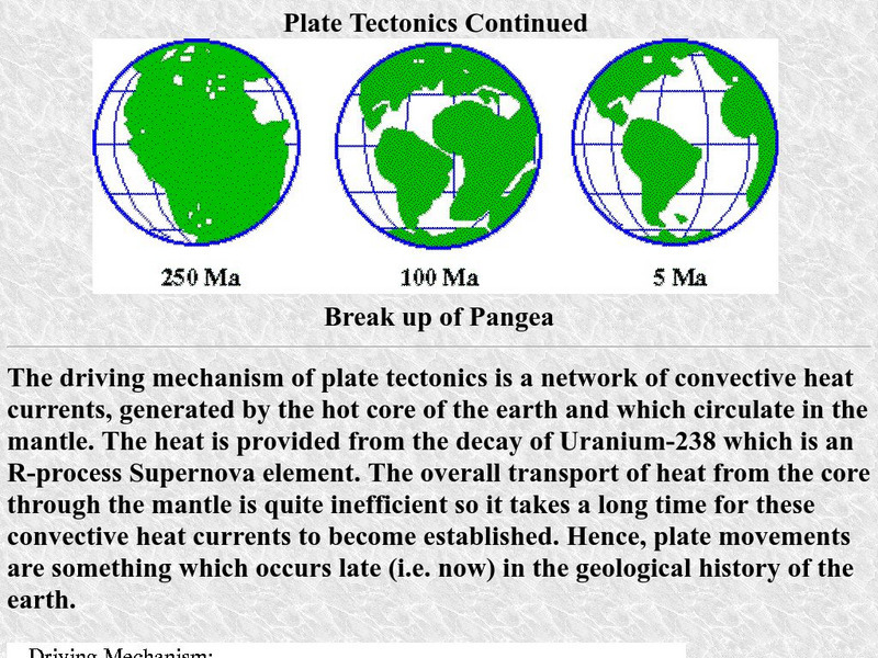
University of Delaware: Plate Tectonics
This site is a very simple overview of plate tectonics. It includes a map of all the major plates and a diagram of the layers of the earth.


