Curated OER
Nunavut, Our Communities
Students research the Online Atlas of Canada to locate the communities of Nunavut. Students examine the geographic area and characteristics of the communities.
Curated OER
Networking at Early James Fort
High schoolers examine the impact of global trade on regional civilizations of the world after 1500. They research and analyze images of pottery excavated at Jamestown, and create a poster that presents information about world trade...
Curated OER
Time Line Of Chinese And Japanese Art
Students create individual time lines placing various works of Asian art into chronological order. The information gathered is used to create one class time line for display.
Curated OER
The Expansion of The United States, 1846-1848
Students interpret historical maps,identify territories acquired by the United States in the 1840s. Also they identify states later formed from these territories. The primary sources for the lesson are the maps found in the lesson's...
Curated OER
Changing Landscape at the Fort Vancouver Reserve
High schoolers investigate the international background and consequences of The Louisiana Purchase, The War of 1812, and The Monroe Doctrine. The lesson helps to improve critical thinking skills about American History.
Curated OER
United Kingdom
Middle schoolers investigate the geographical features of the United Kingdom. They create a clay, playdoh, or salt and flour map of the region. The maps should be labeled with landmarks and bodies of water. They can also draw maps on...
Curated OER
Presidential Election 2004: Five Presidents' Calls for War
Pupils examine five president's reasons for entering into a war. Using the text, they answer questions and discuss their answers with the class. They also examine President Bush's reasons for going to war in Iraq and how that compares...
Curated OER
The Rise of Islam
In this Islamic medicine worksheet, students read about the rise of Islam and the history of medicine within the culture. Students read 5 passages.
Curated OER
Political and Social Impact of World War II
Sixth graders study the life in Jewish ghettos during World War II and learn about tolerance and compassion. In this WWII lesson, 6th graders discuss Jewish ghettos but with a mistreatment of the kids with stickers to signify the Jewish...
Curated OER
A Sense of West Virginia
Students consider their perceptions of the world through their 5 senses while visiting the West Virginia State Museum. In this West Virginia history instructional activity, students discover how knowing about the past helps with their...
Curated OER
Volcanoes: Mount Vesuvius
Young scholars explain how volcanoes form. In this earth science lesson, students identify the different types of volcanoes. They create brochures about Mt. Vesuvius before and after the eruption.
Curated OER
Tooling Around Arizona: Reading Arizona Maps
Students study geography. For this Arizona maps lesson, students develop their map reading skills. They have class discussions and work independently with various copies of Arizona maps to practice those skills. This lesson mentions...
University of Wisconsin
The Why Files: Oceans' True Boundaries and "Garbage Patches"
A deep look at ocean circulation returns a surprise: Currents transport water - and non-degradable, floating plastic - between the ocean basins. Thus, some of the plastic in the South Atlantic "garbage gyre" was actually thrown away in...
Curated OER
National Park Service: Tour of Park Geology: Plate Tectonics
Plate tectonics and different plate boundaries are discussed on this website. Also, learn about the type of plate boundaries found in our National Parks.
Other
International Boundary Commission
International Boundary Commission website provides pictures and information on its history, purpose and function as a bi-national organization. Under the 1960 International Boundary Commission Act, the Commission's work is described as...
National Geographic
National Geographic: More Physical Geography and Borders
Lesson on the physical features that create borders and boundaries. Small group and whole class activities, background information, worksheets and assessment.
United Nations
United Nations: Cartographic Section: Okavango River Basin [Pdf]
This map from the United Nations is a very detailed map of the Okavango River Basin, showing rivers, wetlands, cities, country boundaries and much more. Increase the viewing percentage to read the map easily.
Other
National Atlas
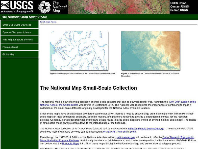
This site is excellent for mapping. You can create ANY kind of map you need. Select all kinds of layers: agriculture, biology, boundaries, climate, history, and more, and then select the geography. It does take some time to figure out...
National Geographic
National Geographic: Conflict on the Danube
Lesson in which students use maps and text to explore physical and cultural boundaries and the disputes over control of them. Includes two activities with comprehensive and adaptable materials.
National Geographic
National Geographic: Plate Tectonics
A short tutorial on plate tectonics. Includes a video, background reading, three questions, fast facts, and a vocabulary list. Discusses the publication of the Tharp-Heezen map of the seafloor in 1977 which paved the way for a much...
Smithsonian Institution
National Museum of the American Indian: Indigenous Geography
Indigenous Geography helps you develop key understandings on nine different dimensions as they relate to six Native communities located in the Western Hemisphere. Learn about the creation stories, place boundaries and landmarks, calendar...
Henry J. Sage
Sage American History: Oregon Boundary Dispute and Oregon Fever
Article outlining the disputes and events in the 1840s leading to the acquisition of the Oregon Territory which included land west of the Continental Divide between northern California and the Province of British Columbia.
Smithsonian Institution
National Museum of Natural History: Ocean Planet: Ocean Currents
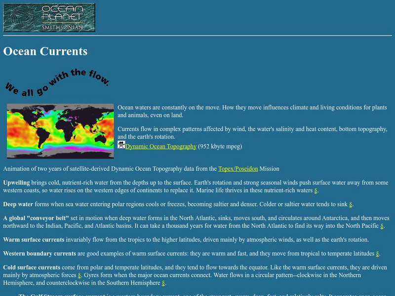
The Ocean Planet exhibit at the Smithsonian explains the general features of ocean circulation. A general look at upwelling, deep water, and currents are combined for an overall view.


