Nature Canada
Nature Canada
Nature Canada provides good information on many environmental issues affecting Canada. There are complete sections devoted to bird conservation, wilderness protection, endangered species and national parks.
Curated OER
National Park Service: Saint Croix Island
An interesting look at the history and culture of St. Croix Island and its importance to the United States and Canada.
Nature Canada
Nature Canada: Species Spotlight: Whooping Cranes
Although the whooping crane has survived for 3.5 million years, it has become endangered in the last few hundred due to human activities. At its lowest, there were only 15 on the whole planet. The number now stands at several hundred in...
Curated OER
Unesco: Canada: Miguasha National Park
The palaeontological site of Miguasha National Park, in south-eastern Quebec on the southern coast of the Gaspe peninsula, is considered to be the world's most outstanding illustration of the Devonian Period known as the 'Age of Fishes'....
Curated OER
Unesco: Canada: Wood Buffalo National Park
Situated on the plains in the north-central region of Canada, the park (which covers 44,807 km2) is home to North America's largest population of wild bison. It is also the natural nesting place of the whooping crane. Another of the...
Curated OER
Unesco: Canada: Nahanni National Park
Located along the South Nahanni River, one of the most spectacular wild rivers in North America, this park contains deep canyons and huge waterfalls, as well as a unique limestone cave system. The park is also home to animals of the...
Curated OER
Unesco: Canada: Gros Morne National Park
Situated on the west coast of the island of Newfoundland, the park provides a rare example of the process of continental drift, where deep ocean crust and the rocks of the earth's mantle lie exposed. More recent glacial action has...
Curated OER
Unesco: Canada: Waterton Glacier International Peace Park
In 1932 Waterton Lakes National Park (Alberta, Canada) was combined with the Glacier National Park (Montana, United States) to form the world's first International Peace Park. Situated on the border between the two countries and offering...
Other
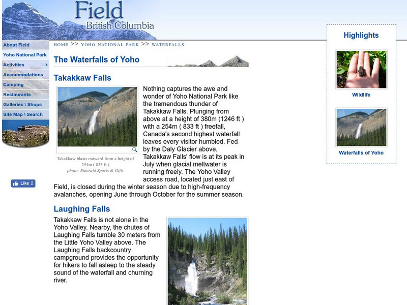
The Waterfalls of Yoho
Learn about the waterfalls of Yoho National Park in Field, British Columbia: Takakkaw Falls, Laughing Falls, and Wapta Falls.
Curated OER
Unesco: Canada: Canadian Rocky Mountain Parks
The contiguous national parks of Banff, Jasper, Kootenay and Yoho, as well as the Mount Robson, Mount Assiniboine and Hamber provincial parks, studded with mountain peaks, glaciers, lakes, waterfalls, canyons and limestone caves, form a...
Other
Canadian Heritage: Provincial and Territorial Symbols
By following the hyperlinks on the image map of Canada, one can learn about the symbols of each province and territory, as well as connect with each of provincial and territorial web pages.
Curated OER
Cbc: Fifteen Canadian Sites to Treasure and Protect
Fifteen Canadian sites received the UNESCO World Heritage designation, bringing world attention to historical and natural preservation of the selected areas. This article (2008) details these sites.
Curated OER
Educational Technology Clearinghouse: Maps Etc: Province of Quebec, 1920
A map from 1920 of the province of Quebec from the St. Lawrence River to Hudson Bay and the Hudson Strait. The map shows the Dominion capital of Ottawa, Province capital of Quebec City, major cities and towns, existing and proposed...
Curated OER
Educational Technology Clearinghouse: Maps Etc: Ontario (Northern Part), 1920
A map from 1920 of the northern part of the province of Ontario. The map shows the capital of Ottawa, major cities and towns, existing and proposed railways, county boundaries, forest reserve boundaries, national park boundaries, Indian...
Curated OER
Educational Technology Clearinghouse: Maps Etc: Ontario (Southern Part), 1920
A map from 1920 of the southern part of the province of Ontario. The map shows the capital of Ottawa, provincial capital of Toronto, major cities and towns, existing and proposed railways, county boundaries, forest reserve boundaries,...
Curated OER
Etc: Maps Etc: British Columbia (Southern Part), 1920
A map from 1920 of the southern part of the province of British Columbia. The map shows the provincial capital of Victoria, major cities and towns, existing and proposed railways, National Parks, lakes, and rivers of this portion of the...


