Curated OER
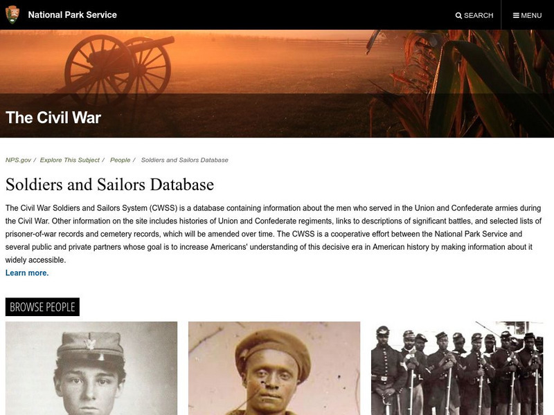
National Park Service: Civil War Soldiers and Sailors System
The place to go for information on the soldiers and sailors who served during the Civil War in both the Confederate and Union military. Use the searchable database to locate basic information about the 6.3 million men who served on both...
Center for Educational Technologies
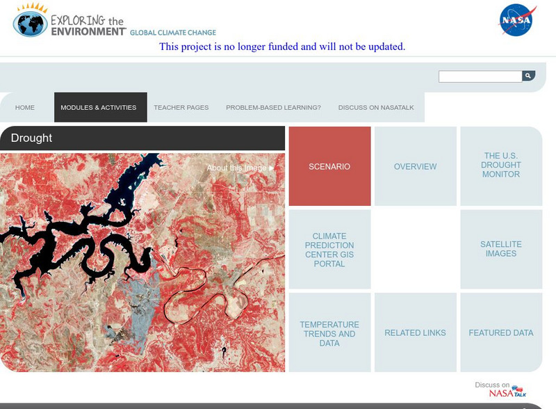
Cet: Exploring the Environment: Drought
The U.S. National Park Service has asked students to advise it whether the drought that greatly impacted the Midwest and Southwest is a consequence of global climate change or just an abnormal weather pattern. In either case, they will...
Curated OER
Unesco: Canada: Nahanni National Park
Located along the South Nahanni River, one of the most spectacular wild rivers in North America, this park contains deep canyons and huge waterfalls, as well as a unique limestone cave system. The park is also home to animals of the...
Curated OER
Wikipedia: National Historic Landmarks in New York: Thomas Moran House
Home of the Hudson River School painter Thomas Moran who helped inspire the creation of the National Park system.
Other
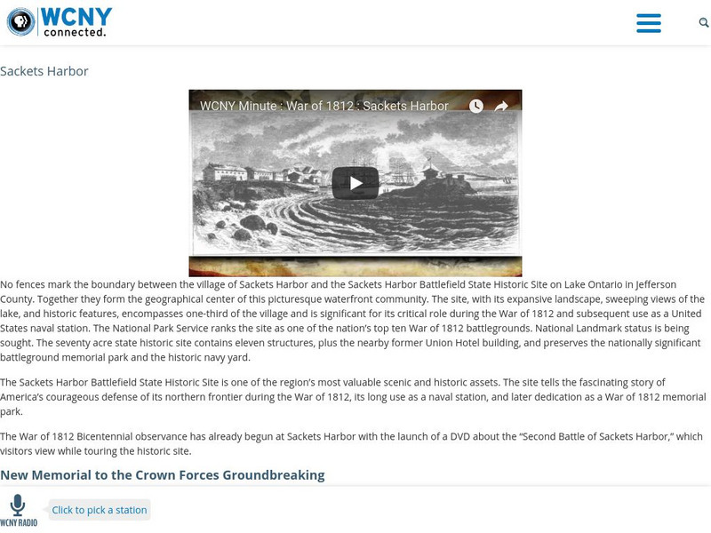
War of 1812: Sackets Harbor
One minute video and brief text describe the importance of Sackets Harbor to the War of 1812 and its designation as a National Historic Site under the National Park System.
Other
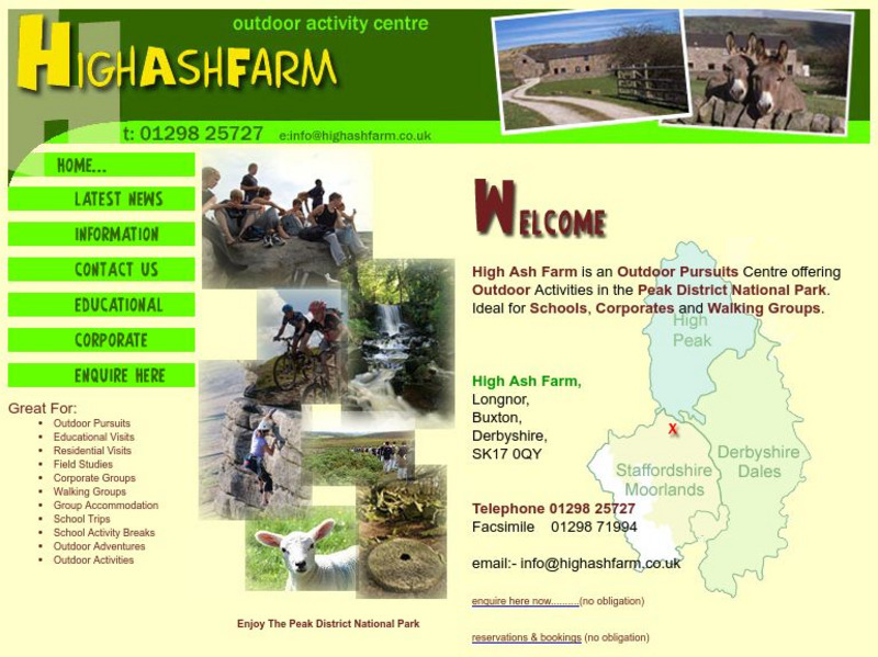
High Ash Farm: Field Study Centre
Take a virtual tour of this working hill farm in Peak District National Park in Derbyshire, England. See photographs of what goes on there and try an interactive quiz.
PBS
Pbs Learning Media: Caves and Karst
This interactive resource adapted from the National Park Service presents the key concepts of cave and karst systems, including how and where they form, different types, and various cave environments.
Library of Congress
Loc: Map Collections 1500 2002
This collection provides maps dating back to 1500 up to the present. The collection includes: cities, towns, discovery and exploration, conservation and environment, military battles, cultural landscapes, transportation, communication,...
PBS
Pbs Learning Media: Primary Source: Environmental Preservation Progressive Era
This collection uses primary sources to environmental preservation in the Progressive Era.
Curated OER
Educational Technology Clearinghouse: Maps Etc: Southern California, 1920
A map of Southern California from 1920 showing the major cities and towns, railroads, National Park boundaries, National Forest boundaries, Indian reservation boundaries, mountain systems, lakes, rivers, and coastal features.
Curated OER
Educational Technology Clearinghouse: Maps Etc: Southern California, 1911
A map of Southern California from 1911 showing the major cities and towns, railroads, National Park boundaries, National Forest boundaries, Indian reservation boundaries, mountain systems, lakes, rivers, and coastal features. A grid...
Curated OER
Educational Technology Clearinghouse: Maps Etc: California (Southern), 1920
A map of Southern California from 1920 showing the counties and county seats, major cities and towns, railroads, National Park boundaries, National Forest boundaries, Indian reservation boundaries, mountain systems, lakes, rivers, and...
Curated OER
Etc: Maps Etc: Northern and Central California, 1920
A map of Northern and Central California from 1920 showing the State capital of Sacramento, counties and county seats, major cities and towns, railroads, National Park boundaries, National Forest boundaries, Indian reservation...
Curated OER
Etc: Maps Etc: Northern and Central California, 1911
A map of Northern and Central California from 1911 showing the State capital of Sacramento, counties and county seats, major cities and towns, railroads, National Park boundaries, National Forest boundaries, Indian reservation...
Curated OER
Etc: Maps Etc: California (Northern and Central), 1920
A map of Northern and Central California from 1920 showing the State capital of Sacramento, counties and county seats, major cities and towns, railroads, National Park boundaries, National Forest boundaries, Indian reservation...
Curated OER
Educational Technology Clearinghouse: Maps Etc: Idaho, 1906
A map from 1906 of Idaho showing the capital city Boise, towns, railroads, reservation boundaries, the boundary of Yellowstone National Park, mountain systems, lakes, and rivers.
Curated OER
Educational Technology Clearinghouse: Maps Etc: United States of America, 1883
A map from 1883 of the 'lower forty-eight’ United States showing state boundaries and state capitals, major cities and towns, mountain systems, lakes, rivers, and coastal features. The map shows Yellowstone National Park, the first in...
Other
Colorado Wilderness: Weminuche Wilderness Area
A page on the Wilderness that includes an enchanting description, the location, and basic facts such as acres, elevation, miles of trails, and hunting areas.
Other
University of Montana: Wilderness Connect: Weminuche Wilderness
This site gives basic facts on the Weminuche Wilderness such as the description, the number of acres, and elevation. Site also reminds us to "Leave No Trace" by following the listed principles.
University of North Carolina
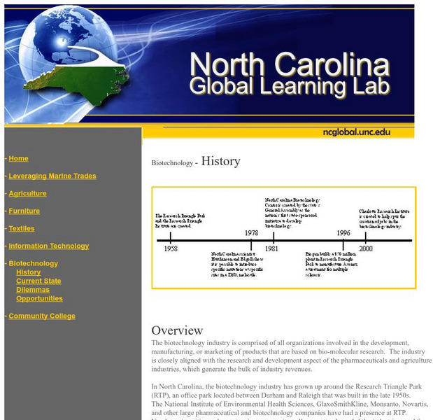
University of North Carolina: History of Biotechnology in North Carolina
The biotechnology industry is comprised of all organizations involved in the development, manufacturing, or marketing of products that are based on bio-molecular research. The industry is closely aligned with the research and development...


