Better Lesson
Better Lesson: Interpreting Live Data
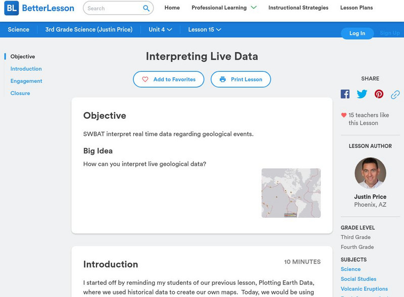
Students will be using live data about volcanoes and earthquakes to look for patterns and understand why natural disasters may or may not be able to be predicted. Resources include helpful websites, a video of the lesson in action,...
Geographypods
Geographypods: Theme 2: Natural Environments
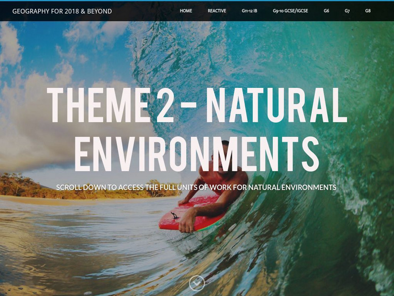
A rich collection of highly engaging learning modules on topics related to the natural environment. Covers four main areas - plate tectonics, forms and processes, weather and climate, and rainforest and desert. Within each of these,...
NOAA
Noaa: Ncdc: Hurricane Katrina Information [Pdf]
Lots of information about the causes of Hurricane Katrina from a meteorology point of view is shared, as well as the data from the Hurricane and the impact the Hurricane had on the cities and towns that were affected.
Texas State Historical Association
Texas State Historical Association: Texas' Natural Environment
Presents information and data on all aspects of the geography, natural resources, and climate of Texas, including natural disasters and extreme weather events.
NASA
Floods: Using Satellites to Keep Our Heads Above Water
This article describes how scientists use satellite images to try and spot extreme floods. These satellites keep information stored, such as data on hundred-year floods, and try to identify likely flood plains based on that data.
Columbia University
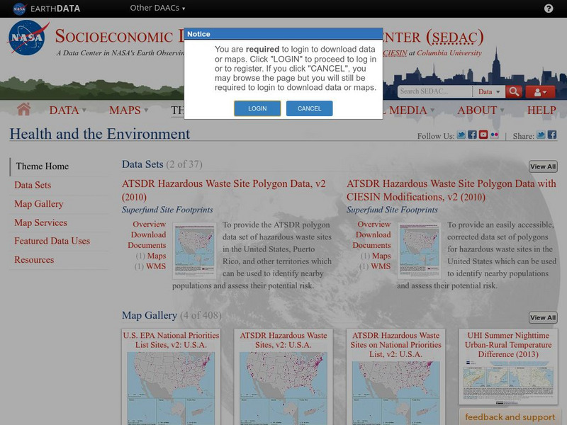
Nasa: Sedac: Health and the Environment
[Free Registration/Login Required] A collection of twenty-three data sets from SEDAC (Socioeconomic Data and Applications Center) that examine health issues and how the environment impacts health in areas around the globe. They look at a...
US Geological Survey
Usgs: Tsunamis in the Pacific Northwest
This page from the U.S. Geological Survey is devoted to Tsunamis in the Pacific Northwest. View some animations of tsunamis.
Other
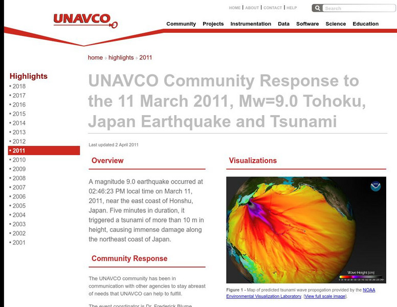
Unavco: Event Response to the Mw=9.0 Tohoku, Japan Earthquake and Tsunami
Relevant data connected to the earthquake as well as links to technical information and science websites. Also find many graphs and charts with information on the tectonic activity.
Columbia University
Scientific Background on the Indian Ocean Earthquake and Tsunami
This site features information and related links that can be used by students and scientists to understand the events that led to the December 2004 Indian Ocean tsunami.
Discovery Education
Discovery Education: Understanding Tsunamis
Come and learn more about the devastating effects of tsunamis. This site features video segments revealing the devastation tsunamis can cause and how tsunamis are formed.
Exploratorium
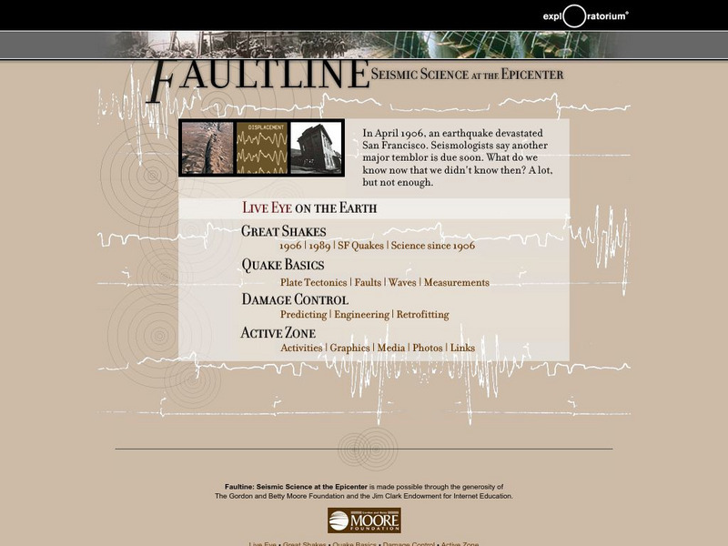
Exploratorium: Faultline
This site includes all things shaky--earthquakes that is. Observe real-time data regarding seismic activity all over the world. Other modules include information about history's great quakes, earthquake basics and how to recover from...
California Institute of Technology
Scec: Significant Earthquakes and Faults
An interactive map of significant earthquakes and faults in southern California. Click on each earthquake icon, and see a brief overview of each event.


![Noaa: Ncdc: Hurricane Katrina Information [Pdf] Activity Noaa: Ncdc: Hurricane Katrina Information [Pdf] Activity](https://d15y2dacu3jp90.cloudfront.net/images/attachment_defaults/resource/large/FPO-knovation.png)


