Curated OER
Educational Technology Clearinghouse: Maps Etc: New Hampshire and Vermont, 1898
A map from 1898 of New Hampshire and Vermont. "New Hampshire, one of the thirteen original States. Settled by English Puritans at Dover and Portsmouth 1623. Named for Hampshire County, England, called the 'Granite State.’ Ratified United...
Curated OER
Etc: Maps Etc: Comparative Areas of the United States and Other Countries, 1872
A map from 1872 of the United States used to illustrate the comparative area sizes of the states to other countries in the world. The map shows state and territory boundaries at the time (Dakota, Montana, Washington, Idaho, Wyoming,...
Curated OER
Etc: Maps Etc: The New Settlements in Central Britain, Ad 666
A map of central England showing the "new" settlements of the Anglo-Saxons in the area around AD 666. This map shows the settlements with their Saxon names and modern names, including Northwearth (Derby), Snottinga (Nottingham),...
Curated OER
Educational Technology Clearinghouse: Maps Etc: Battle of Naseby, June 14, 1645
A map of the Battle of Naseby on 14 June, 1645, near Broad Moore in Northamptonshire, England during the First English Civil War (1642-1646). The battle, between the Royalist army under King Charles I and the Parliamentarian New Model...
Curated OER
Educational Technology Clearinghouse: Maps Etc: Battle of Naseby, June 14, 1645
A map of the Battle of Naseby in Northamptonshire, England, during the First English Civil War. The battle was between the Parliamentarian New Model Army under Fairfax and Cromwell, and the Royalist Army of King Charles I. This battle,...
Stanford University
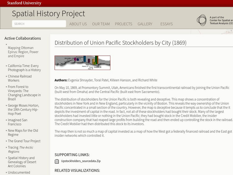
Stanford University: Spatial History: Distribution of Union Pacific Stockholders
This map reveals the way ownership of the Union Pacific concentrated in New England and New York. It also shows how the West got a federally financed railroad, and the east got the insider networks which controlled it.
Curated OER
Etc: Claims of Various European Countries to the Us, 1643 1655
A map of the eastern coast of North America showing territorial claims of Europeans and the development of the United Colonies of New England (New England Confederation) in 1643, and the territorial changes between the Dutch and British...
Curated OER
Etc: Reorganization of the Plymouth Company, 1606 1620
A map of eastern North America in 1620 showing the King James Patent of the Plymouth Company to the north and London Company to the south. In 1620, the Plymouth Company was reorganized as the Plymouth Council for New England, or the...
Curated OER
Etc: Atlantic Coast Development, 1650 1695
A series of maps showing the development and colonial claims of the northern Atlantic Coast between 1650 and 1695. The maps are color-coded to show charter colonies, proprietary colonies, and the royal colonies. The map from 1650 shows...
Curated OER
Etc: Distribution of Votes in Ratification of the Constitution, 1787 1788
A map showing the distribution of votes in the ratification of the Constitution (1787-1788) for the Middle and Southern States south of New England, including the Kentucky and Tennessee districts. The map is keyed to show areas where the...
National Humanities Center
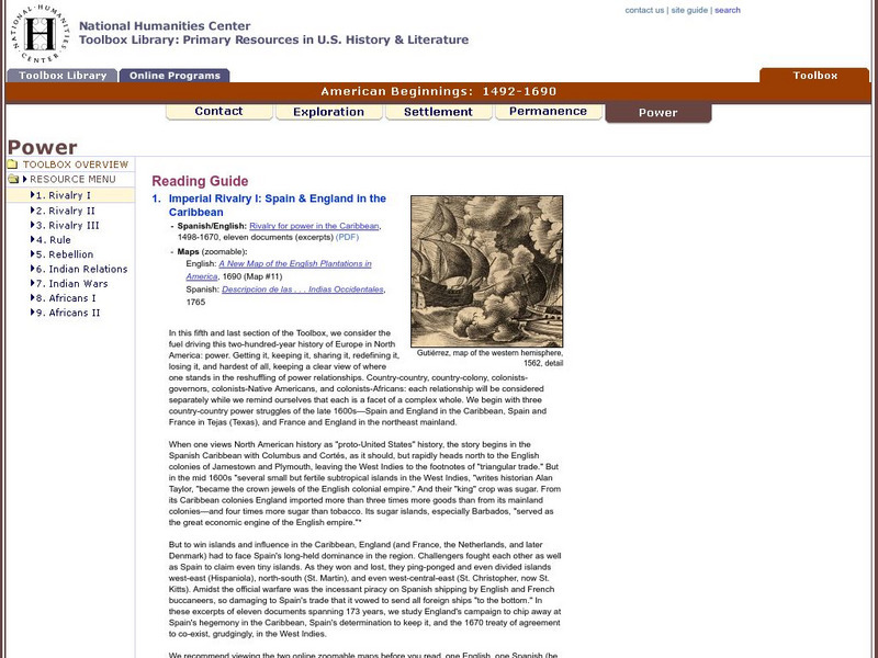
National Humanities Center: Toolbox Library: Rivalry I, American Beginnings: 1492 1690
Eleven documents and two maps detailing the almost two hundred year struggle between England and Spain for hegemony in the Caribbean.
SMART Technologies
Smart: Thirteen Colonies
Students will drag the name of each colony onto the map. Then drag the color coded stars to the New England, Middle, and Southern Colonies. Lastly, they will drag the important events to the colony in which it happened.
Curated OER
Etc: European Colonization in North America, 1500 1700
A map of North America showing the European colonization in the region up to the year 1700. The map is color-coded to show the possessions of the British, French, Spanish, Dutch, Swedish, and Danish. The map shows the territory in...
Curated OER
Etc: The Maine Boundary Dispute, 1798 1842
A map of the Quebec, New Brunswick, and Maine area showing the boundary dispute between England and the United States between 1798 and 1842. The map is color-coded to show the boundary claims of the British and United States after 1798,...


