Curated OER
Developing a Gateway to the West
Students identify various topographical features that contribute to the growth of a city. They identify how military strategies contribute to the growth of a city.
Curated OER
Translating Traditions
Students analyze art reflective of traditions and cultural heritage. For this art analysis lesson, students complete image based discussion.
Enchanted Learning
Enchanted Learning: New Mexico
This site has a colorful display of information about New Mexico. It contains a map, pictures, a list of state symbols, and links to related information.
Johns Hopkins University
The Johns Hopkins University: New Mexico State Maps
This site from The Johns Hopkins University Applied Physics Laboratory contains several New Mexico geographical maps. It is very informative. Use this site to view a historical perspective with the 1859 map.
Cayuse Canyon
The Us50: New Mexico
Offers comprehensive information regarding New Mexico history, famous people, cities, geography, state parks, tourism, and historic sites. A fact sheet of information and a quiz are also available.
Other
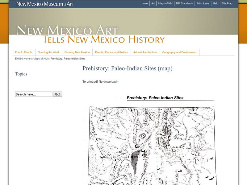
New Mexico Museum of Art: Prehistory: Paleo Indian Sites
Download a great map of New Mexico showing the Paleo-Indian sites from 10,000 B.C. to 5,500 BC. [pdf]
Other
Nmbgmr: Resources for Teachers
Locate a variety of maps on New Mexico's minerals and resources, read issues of "Lite Geology," take virtual tours of state sites, and find games, puzzles, and activities for young people.
Other
Nmbgmr: Resources for Teachers
Locate a variety of maps on New Mexico's minerals and resources, read issues of "Lite Geology," take virtual tours of state sites, and find games, puzzles, and activities for young people.
Other
Nmbgmr: Resources for Teachers
Locate a variety of maps on New Mexico's minerals and resources, read issues of "Lite Geology," take virtual tours of state sites, and find games, puzzles, and activities for young people.
University of Oregon
University of Oregon: Mapping History: Kansas Nebraska Act: 1854
Toggle back and forth on this interactive map to see how the Kansas-Nebraska Act of 1854 completely negated the Missouri Compromise. Click on the map to see where slavery was permitted before 1854 and then after. Be sure to click on the...
Other
American Journeys: Revolt of the Pueblo Inidans
Read the background of the Pueblo Revolt of 1680 before accessing the document which is a translation of an excerpt of a book titled Revolt of the Pueblo Indians of New Mexico and Otermin's Attempted Reconquest, 1680-1682. This document...
Curated OER
Educational Technology Clearinghouse: Maps Etc: New Mexico, Post World War I
New Mexico.
Curated OER
Educational Technology Clearinghouse: Maps Etc: New Mexico, 1904
"New Mexico was ceded to the United States in 1848.
Curated OER
Educational Technology Clearinghouse: Maps Etc: New Mexico, 1892
The New Mexico Territory, showing railways and counties.
Curated OER
Educational Technology Clearinghouse: Maps Etc: New Mexico, 1914
New Mexico, showing physical features and railway routes.
Curated OER
Educational Technology Clearinghouse: Maps Etc: New Mexico, 1919
New Mexico, showing towns, cities, physical features, and railroads.
Curated OER
Educational Technology Clearinghouse: Maps Etc: New Mexico, 1906
New Mexico, showing physical features, towns, cities, and railway lines.
Curated OER
Educational Technology Clearinghouse: Maps Etc: New Mexico, 1920
New Mexico, showing physical features. Includes military reservation boundaries.
Curated OER
Educational Technology Clearinghouse: Maps Etc: New Mexico, 1903
The Territory of New Mexico before it became a state showing counties, cities, rivers, mountain ranges, and railroads.


