Curated OER
Educational Technology Clearinghouse: Maps Etc: North America, 1783
A map of North America, Central America, and northern South America at the end of the American Revolutionary War (1783). The map is color-coded to show the territory of the United States at the time, British possessions in Canada,...
Curated OER
Educational Technology Clearinghouse: Maps Etc: North America, 1858
A map from 1858 of North America showing the boundaries at the time for Russian America (Alaska), Greenland, British America or New Britain, Canada East and Canada West, the United States, Mexico, Central America, and the West Indies...
Curated OER
Etc: Texas Controversy and Territorial Adjustment, 1836 1850
A map of the western United States between 1836 and 1850 showing the Texas controversy and territorial adjustments at the time. The map is color-coded to show the unorganized territory of the Louisiana Purchase and the boundary line with...
Curated OER
Etc: The Us at the Outbreak of the Civil War, 1860 1861
A map of the United States at the outbreak of the Civil War (1860-1861) showing the States that seceded to form the Confederate States of America. The map also shows the territorial boundaries of the Washington Territory, Dakota...
Smithsonian Institution
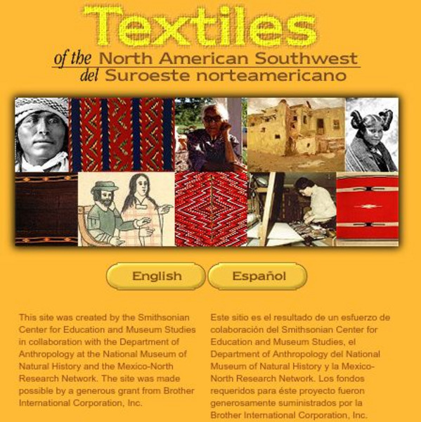
Smithsonian: Textiles of the North American Southwest
This site explores the weaving traditions of the Native American and Hispanic peoples of northern Mexico and the southwestern United States. A gallery of artifacts, timeline, map glossary, and textual descriptions are included. This is a...


