Curated OER
Plate Tectonic - Volcanoes Post Lab
Second graders discover volcanoes that occur around the world. They identifying volcano parts.
Curated OER
Colonies and Revolution: Comparing US and Mexican History
Young scholars examine the emergence of the United States and Mexico as independent nations. They compare the colonial history of the two countries and discover the emergence of social classes.
Curated OER
Exploring National Marine Sanctuaries
Students conduct Internet research of the living organisms in national marine sanctuaries, and the resources protected in the sanctuaries. Students gather information about each of the sanctuaries and make an oral presentation and poster...
Curated OER
What Do We Know About Africa?
First graders explore Africa, its geography and climate. After completing a KWL chart, 1st graders locate Africa on a globe and discuss how its location on the earth affects its climate. Using the Internet and a given fact sheet,...
Curated OER
Lesson Plan on Migration
Fourth graders diagram written and oral directions of a Native American, European Viking, Right Whale or Humpback Whale migration route, the student diagram all directions only in the sequence given, with arrows indicating direction of...
Curated OER
Search for the Humpback Whale
Students work in teams to research and explore whale adaptations, behavior, migration, habitat, communication, and interactions with humans and present their findings.
Curated OER
Militia of the American Revolutionary War
Students explore the role of the colonial militia n the American Revolutionary War. Using traditional and internet resources, students, complete a research worksheet designed to provide information about the militia. Worksheet is...
Curated OER
Mexico: A Look At Its Culture and Geography
Students canvass the Mexican geography, culture, dress, language, crafts, and traditions in this unit of eight lessons. The Mexican Independance Day is compared to our own and the contributions of the Mayan, Azetec, and Spanish are...
Curated OER
Geography Overview
Second graders look at the United States often over the next few months. Help them to see how the United States has changed as territories have become states. They may be surprised to know the areas of our country that were territories...
Curated OER
Geography of Early China
Students research and identify the primary geographic features of China. They investigate which features isolated China, and identify the significance of the Hwang River to Early Chinese civilizations. Finally, they research the Silk...
US Environmental Protection Agency
Epa: Ecological Regions of North America
A helpful map of North America which color codes its 15 ecological regions. Click on the different regions for a brief description of the area.
World Atlas
World Atlas: North America
Features maps and a description of the geography and history of North America with links to information on its countries, famous people, flags, symbols, and much more.
Princeton University
Mammals of North America: Dolphins and Porpoises
From the pages of "Mammals of North America," a field guide published by Princeton University Press, this website offers general descriptions of striped, blunt-nosed dolphins and porpoises. Detailed pictures and maps of habitat range are...
Princeton University
Mammals of North America: Procyonids (Raccoons & Others)
From the pages of "Mammals of North America," a field guide published by Princeton University Press, this website offers general descriptions of several procyonids, including ringtails, northern raccoons, and white-nosed coati. Detailed...
Princeton University
Mammals of North America: Spotted and Hog Nosed Skunks
From the pages of "Mammals of North America," a field guide published by Princeton University Press, this website offers general descriptions of both spotted and hog-nosed skunks. Detailed pictures and maps of habitat range are also...
That Quiz
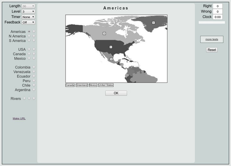
That Quiz: Practice Test: Americas
This resource provides a practice test which allows users to test their geographical knowledge of the Americas.
Other
Ecological Regions of North America [Pdf]
A helpful map of North America which color codes its 15 ecological regions. Click on the different regions for a brief description of the area. Requires Adobe Reader. [PDF]
Read Works
Read Works: This Is North America
[Free Registration/Login Required] Intended to support early elementary students' reading comprehension, geographical information about North American is provided in this informational text. Questions that assess multiple reading skills...
University of Georgia
University of Georgia: A Map of North America (1784)
A large and detailed Dutch map of North America as known to the Europeans in 1784.
The Newberry Library
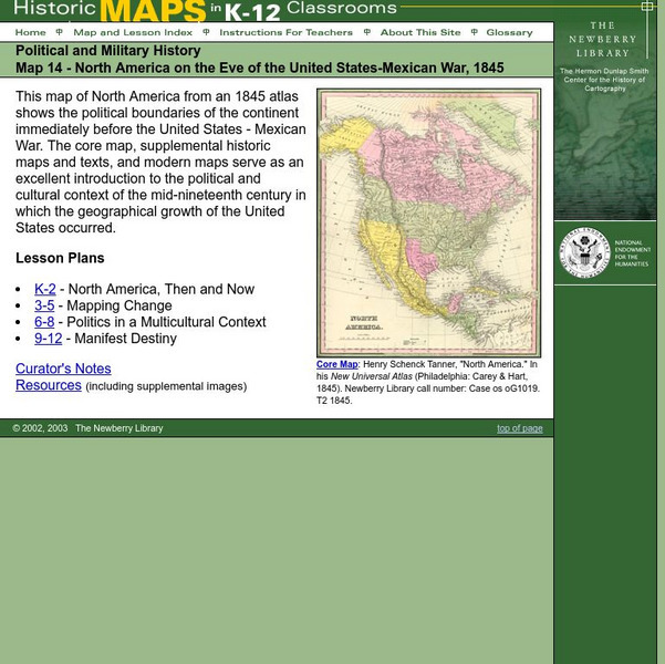
Newberry: Political and Military History: Map 14: u.s. Mexican War, 1845
Lessons for students in K-12 depicting North America prior to the United States and Mexico War, 1845. Students explore the mid-century political and cultural context in which the U.S. experienced growth and expansion.
University of Regina (Canada)
University of Regina: Math Central: Map of First Nations Peoples Pre Contact Culture Areas
A color coded map of North America which contains the regions inhabited by different aboriginal nations.
PBS
Pbs Learning Media: North American Rivers and Their Widths
Rivers are essential to any society. They provide fresh water, recreation, and transportation. Students will analyze the distribution and relationship among North American rivers using this map from NASA. Background information and...
Library of Congress
Loc: Maps of Cities and Towns
Looking for old maps of somewhere in the United States? Check out this huge collection of maps! Search by the name of a city or town, another keyword, subject, title, or geographic location.
University of Texas at Austin
Perry Castaneda Library Map Collection: Americas Historical Maps
This collection from the University of Texas Library Online of historical maps contains a wide variety of maps from various parts of the continent and from different parts of history. Each map is accompanied by a brief description and is...
Other popular searches
- Map of North America
- North America Map Outline
- North America Map Reading
- North America Map Features
- North America Map 1750
- Ecosystems North America Map
- Physical Map North America
- North America Map Worksheets
- North America Map Outline%2
- Maps North America Migration
- North America Map Outline\%2
- Map Colonial North America


