Curated OER
Etc: Maps Etc: Mean Average Temperatures in North America, 1906
A map from 1906 of North America showing the mean annual isotherms of the region given in degrees Fahrenheit. "The climate of North America naturally varies greatly, depending on latitude, the general atmospheric circulation or direction...
Curated OER
Etc: Maps Etc: Population Distribution of North America, 1921
A base map from 1921 of North America, Central America, and the Caribbean showing the general population distribution in Alaska, Greenland, Dominion of Canada, United States, Mexico, and Central America at the time. People are most...
Curated OER
Etc: Maps Etc: Population Distribution of North America, 1916
A map from 1916 of North America, Central America, Greenland, and the Caribbean to Puerto Rico showing the population distribution at the time. The map is color-coded to show areas where the population density ranges from under 1...
Curated OER
Etc: Maps Etc: Climate and Life Provinces of North America, 1911
A map from 1911 of North America and Central America showing the seven climate zones and three life provinces in the region. The map is color-coded to show the Arctic, Hudsonian, and Canadian climate zones (Boreal Region), Transition,...
Curated OER
Ed Tech Clearinghouse: Maps Etc: Zoogeographic Areas of North America, 1906
A zoogeographic map of North America and Central America from 1906 showing life zones of the region based on climate conditions.
Curated OER
Etc: Maps Etc: Early Possessions in Eastern North America, 1740
A map of eastern North America, Gulf of Mexico, and western Caribbean showing the European possessions and territorial claims in the region in 1740. The map is color-coded to show the French, Spanish, and British possessions at the time....
Curated OER
Etc: Maps Etc: Distribution of Fish in North America, 1910
A map from1910 of North America showing the distribution of primary commercial fish in the region, including oysters, clams, sponges, turtles, shrimp, lobster, whales and seals. The map shows marine species as well the freshwater salmon...
Curated OER
Etc: European Colonization in North America, 1500 1700
A map of North America showing the European colonization in the region up to the year 1700. The map is color-coded to show the possessions of the British, French, Spanish, Dutch, Swedish, and Danish. The map shows the territory in...
Curated OER
Etc: Various English Grants in North America, 1625 1733
A map of the east coast of North America showing the various British land grants after the Plymouth Company and London Company issued by King James in 1620. The map shows settlements and forts with dates of establishment given.
Curated OER
Etc: Maps Etc: Extent of Glacial Drift in North America, 1899
A map from 1899 of North America showing the southern limit of the glacial drift during the last glacial period.
Curated OER
Ed Tech Clearinghouse: Koppen Climate Classification of North America, 1911
A map from 1911 of the climate regions of North America using the classification system developed by Wladimir Koppen, based on the concept that native vegetation is the best expression of climate. The major groups are (A)...
Curated OER
Etc: The British Colonies in North America, 1700 1760
A map of eastern North America showing the expansion of the British colonies in the region from 1700 to 1760.
BBC
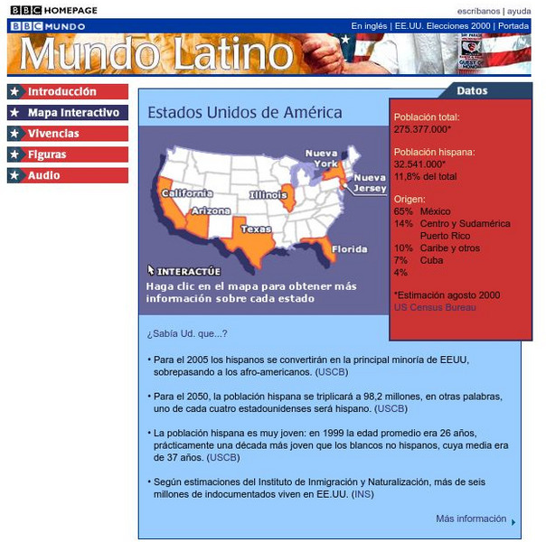
Bbc: Estados Unidos De America/united States of America
Review accurate and up to date statistics on the population of Hispanics in the United States. Click on the different states and find how Hispanics are becoming the number one minority in the United States.
Ducksters
Ducksters: Geography for Kids: North American
Learn about North American countries and geography. The flags, maps, exports, natural resources, and languages of North American are found on this website.
Other
California Regional Weather Server: Jet Stream Analyses and Forecasts
California Regional Weather Service provides the latest jet stream analyses and forecasts for the Northern Hemisphere, Eastern Pacific & Western North America, North America, North Atlantic, and the Southern Hemisphere.
OpenStax
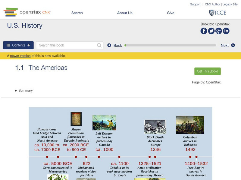
Open Stax: The Americas
After reading this section, students will be able to locate on a map the major American civilizations before the arrival of the Spanish, discuss the cultural achievements of these civilizations and also the differences and similarities...
US Government Publishing Office
Ben's Guide to u.s. Government: Our Nation
Cartoon Ben Franklin guides students through a simple geography lesson about the seven continents, North America, the fifty states, and Washington, D.C.
Science Education Resource Center at Carleton College
Serc: Mapping the Glaciers
In this activity, students will use Minnesota Geological Survey 3-D maps of the upper Midwest to trace the outlines of where they believe glaciers may have affected North America. They will identify landforms that resulted from glacial...
Curated OER
Educational Technology Clearinghouse: Maps Etc: North America, 1858
A map from 1858 of North America showing the boundaries at the time for Russian America (Alaska), Greenland, British America or New Britain, Canada East and Canada West, the United States, Mexico, Central America, and the West Indies...
Curated OER
Educational Technology Clearinghouse: Maps Etc: Rainfall in North America, 1898
A map from 1898 of North America, Central America, Greenland, and the Caribbean to Puerto Rico showing the general distribution of rainfall in the region. The map shows areas of little or no rainfall to areas of heavy rainfall. The map...
Curated OER
Educational Technology Clearinghouse: Maps Etc: Eastern North America, 1812
A map of eastern North America in 1812 subtitled 'The War of Independence and the War of 1812-1814.’ The map is color-coded to show the territories of the original thirteen colonies, the territory to the west that was ceded to the...
Curated OER
Educational Technology Clearinghouse: Maps Etc: Relief of North America, 1890
A relief map from 1890 of North America, Central America, Greenland, and the Caribbean to Puerto Rico showing the general mountain systems, highlands, and plains of the region. Major river systems are shown. "North America is the third...
Curated OER
Educational Technology Clearinghouse: Maps Etc: Drawing North America, 1872
A map exercise from 1872 for drawing North America. The map shows the general outline of the coasts, major waters and rivers, and a vertical profile cross-section of the continent from the San Francisco Bay area to Cape Hatteras....
Other popular searches
- Map of North America
- North America Map Outline
- North America Map Reading
- North America Map Features
- North America Map 1750
- Ecosystems North America Map
- Physical Map North America
- North America Map Worksheets
- North America Map Outline%2
- Maps North America Migration
- North America Map Outline\%2
- Map Colonial North America


