National Humanities Center
National Humanities Center: Toolbox Library: Slave Trade, American Beginnings: 1492 1690
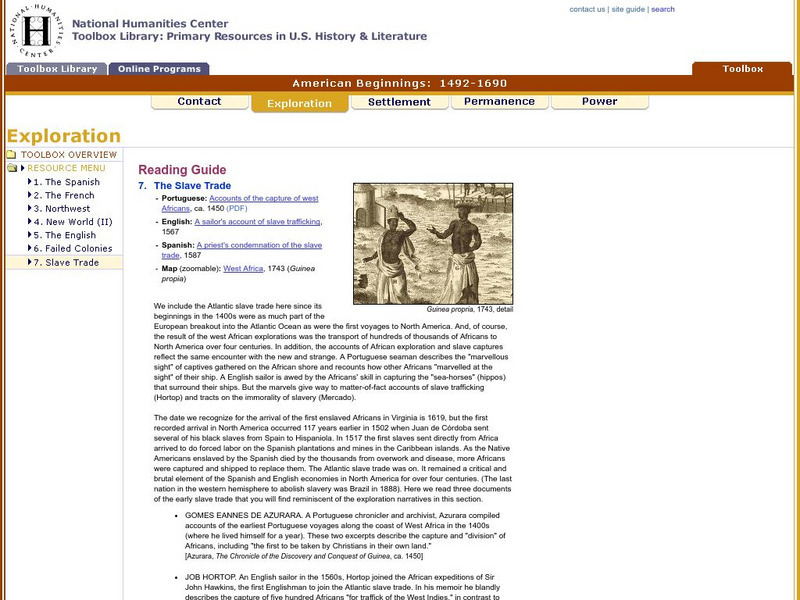
A West African map and three accounts of the development of slave acquisition display the process and the brutality of the Atlantic slave trade.
National Humanities Center
National Humanities Center: Toolbox Library: Pacific Coast, American Beginnings: 1492 1690
Primary resources for U.S. history and literature offer two excerpts from the explorations of the Pacific coast by Sir Francis Drake and Vitus Bering as well as maps drawn to reflect those journeys. Includes questions for discussion.
National Humanities Center
National Humanities Center: Toolbox Library: Rivalry I, American Beginnings: 1492 1690
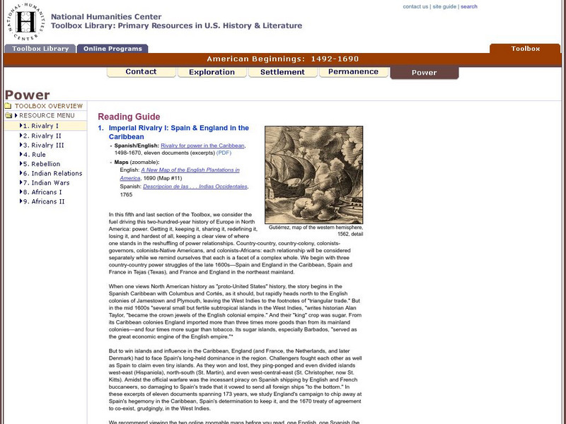
Eleven documents and two maps detailing the almost two hundred year struggle between England and Spain for hegemony in the Caribbean.
National Humanities Center
National Humanities Center: Toolbox Library: Rivalry Ii, American Beginnings: 1492 1690
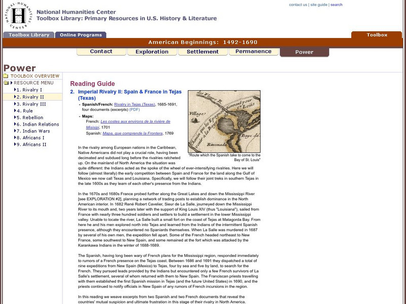
Two eighteenth-century maps and four accounts of the mutual perceptions, suspicions, and observations between Spanish and French explorers on the Gulf Coast.
Curated OER
Etc: Maps Etc: Mexico, Central America, and the West Indies, 1898
A map from 1898 of Mexico, Central America and the West Indies. The map includes an inset map of Cuba and the Isthmus of Nicaragua. "The surface of the Rocky Mountain highland in Mexico is quite similar to that of the great plateau...
Curated OER
Etc: Maps Etc: Mexico, Central America and the West Indies, 1852
A map from 1852 of Mexico, Central America, and the West Indies. The map shows territorial boundaries at the time, including the Mexican States, capitals and major cities and ports, railroads, rivers, lakes, mountain systems, and terrain...
Curated OER
Etc: Maps Etc: West Indies and Central America, 1872
A map from 1872 of the West Indies and Central America. The map shows political boundaries at the time, capitals, major cities, and ports, railroads, main steamship routes, rivers, terrain and coastal features, and banks. The map shows...
Curated OER
Etc: Maps Etc: Mexico, Central America, and the West Indies, 1906
A map from 1906 of Mexico, Central America, and the West Indies showing the political boundaries at the time, capitals and major cities, mountain systems, coastal features, and islands of the region. An inset map shows the entire North...
Curated OER
Educational Technology Clearinghouse: Maps Etc: Mexico and Central America, 1910
A map from 1910 of Mexico and Central America showing political boundaries at the time, capitals and major cities, rivers, terrain and coastal features, reefs, and neighboring islands (Cuba and Jamaica). A map note shows the Panama Canal...
Curated OER
Etc: Maps Etc: Mexico, Central America, West Indies, 1882
A map from 1882 of Mexico, Central America, and the West Indies showing the political boundaries at the time, capitals and major cities, mountain systems, coastal features, and islands of the region. The map is color-coded to show the...
Curated OER
Etc: Maps Etc: Mexico, Central America, and the West Indies, 1901
A map from 1901 of Mexico, Central America, and the West Indies showing the political boundaries and Mexican States at the time, capitals and major cities, railways, mountain systems, coastal features, and islands of the region. Inset...
Curated OER
Educational Technology Clearinghouse: Maps Etc: Central America, 1916
A map from 1916 of Mexico, Central America, and the West Indies, showing physical features and political boundaries at the time. The map uses color-contouring to show land elevations from sea level to over 5000 feet. The map shows...
Curated OER
Educational Technology Clearinghouse: Maps Etc: Central America, 1914
A map from 1914 of Central America showing political boundaries at the time, capitals and major cities, railroads, steamship routes with distances between major ports given in nautical miles, submarine telegraph cables, mountain systems...
Curated OER
Etc: Maps Etc: Central America and West Indies, 1870
A map from 1870 of Central America and the West Indies, including the Bahamas, Greater Antilles, and Lesser Antilles. The map shows the political boundaries and British possessions (shaded pink) at the time, capitals and major cities,...
Curated OER
Etc: Maps Etc: Mexico, Central America, West Indies, 1888
A map from 1888 of Mexico, Central America, and the West Indies showing the political boundaries at the time, capitals and major cities, railways, mountain systems, coastal features, reefs, and islands of the region.
Curated OER
Etc: Maps Etc: Mexico, Central America, and the West Indies, 1883
A map from 1883 of Mexico, Central America, and the West Indies showing the political boundaries at the time, capitals and major cities, railways, mountain systems, coastal features, reefs, and islands of the region.
Curated OER
Educational Technology Clearinghouse: Maps Etc: Central America, 1920
A map from 1920 of Central America showing political boundaries at the time, capitals and major cities, railroads, submarine telegraph cables, mountain systems, lakes, rivers, coastal features, banks or reefs, and the islands of Jamaica...
Curated OER
Educational Technology Clearinghouse: Maps Etc: Central America, 1922
A map from 1922 of Central America showing political boundaries at the time, capitals and major cities, railroads, submarine telegraph cables, mountain systems, lakes, rivers, coastal features, banks or reefs, and the islands of Jamaica...
Curated OER
Educational Technology Clearinghouse: Maps Etc: Central America, 1909
A map from 1909 of Central America showing political boundaries at the time, capitals and major cities, railroads, submarine telegraph cables, mountain systems, lakes, rivers, coastal features, banks or reefs, and the islands of Jamaica...
Curated OER
Educational Technology Clearinghouse: Maps Etc: Central America, 1912
A black and white map from 1912 of Central America showing political boundaries at the time, capitals and major cities, railroads, submarine telegraph cables, mountain systems, lakes, rivers, coastal features, banks or reefs, and the...
Curated OER
Etc: Maps Etc: Drawing Mexico and Central America, 1872
A map exercise from 1872 for drawing Mexico and Central America. The map shows the general outline of the coasts, major waters and rivers.
Curated OER
Etc: Maps Etc: Mexico, Central America, and West Indies, 1901
Mexico, Central America, and West Indies.
Curated OER
Educational Technology Clearinghouse: Maps Etc: Central America, 1861
A French map from 1861 of the Yucatan Peninsula and Central America showing the territories of native groups, the sites of ancient ruins, terrain, lakes, rivers, and coastal features of the region.
Curated OER
Educational Technology Clearinghouse: Maps Etc: Mexico and West Indies, 1855
A map of Mexico, Central America, and the West Indies showing the foreign territorial possessions and independent countries in the region in 1855. The map is color-coded to show the territorial and island possessions at the time of Spain...
Other popular searches
- Map of North America
- North America Map Outline
- North America Map Reading
- North America Map Features
- North America Map 1750
- Ecosystems North America Map
- Physical Map North America
- North America Map Worksheets
- North America Map Outline%2
- Maps North America Migration
- North America Map Outline\%2
- Map Colonial North America


