Curated OER
Mexico: One Land, Many Cultures
Students research and study the country of Mexico and complete a project about it. In this Mexico lesson plan, students research Mexico's geography, traditions, art, songs, stories, and legends that are native to Mexico.
Curated OER
Colonies and Revolution: Comparing US and Mexican History
Young scholars examine the emergence of the United States and Mexico as independent nations. They compare the colonial history of the two countries and discover the emergence of social classes.
Curated OER
What Do We Know About Africa?
First graders explore Africa, its geography and climate. After completing a KWL chart, 1st graders locate Africa on a globe and discuss how its location on the earth affects its climate. Using the Internet and a given fact sheet,...
Curated OER
Search for the Humpback Whale
Students work in teams to research and explore whale adaptations, behavior, migration, habitat, communication, and interactions with humans and present their findings.
Curated OER
Geography Overview
Second graders look at the United States often over the next few months. Help them to see how the United States has changed as territories have become states. They may be surprised to know the areas of our country that were territories...
Read Works
Read Works: This Is North America
[Free Registration/Login Required] Intended to support early elementary students' reading comprehension, geographical information about North American is provided in this informational text. Questions that assess multiple reading skills...
University of Texas at Austin
Perry Castaneda Library Map Collection: Americas Historical Maps
This collection from the University of Texas Library Online of historical maps contains a wide variety of maps from various parts of the continent and from different parts of history. Each map is accompanied by a brief description and is...
Annenberg Foundation
Annenberg Learner: United States History Map: Colonists
Use these interactive maps to see and read about the colonization of the New World by several European nations. When you are finished looking at the maps, test your skills with the European Colonies Challenge.
Library of Congress
World Digital Library: Map of Atlantic Coast: Chesapeake Bay to Florida
A historic map of the Atlantic coast of America created by cartographer Joan Vinckeboons around 1639 for the Dutch West India Company. A feature on the page allows the visitor to listen to and read the accompanying descriptive text in...
OpenStax
Open Stax: The Americas
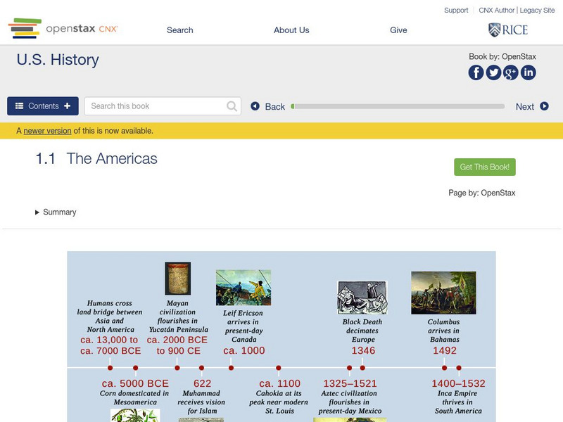
After reading this section, students will be able to locate on a map the major American civilizations before the arrival of the Spanish, discuss the cultural achievements of these civilizations and also the differences and similarities...
A&E Television
History.com: The States
Learn unique facts about each American state. You can also read a more in-depth history of each state, watch videos and play a game about all the states.


