Curated OER
Thar She Blows
Students discover the effects of El Nino on the global climate. As a class, they role play the role of a cold or warm wind and act out a skit in front of the class. They discuss the results of the role play once it is completed.
Curated OER
Provincial Showdown
Students read an article that compares the provinces of Canada and asks students to suggest reasons why other countries should invest in Canada.
Curated OER
Lost Creek- Sacred Landscapes
Eighth graders engage in the discovery of the meaning of Sacred Landscapes. The religious concept is researched for its impact upon the practices of Native Americans and the geographical regions. They write reflection papers upon the...
Curated OER
How to Celebrate the 800th Anniversary of the Mogol Empire
Students research information on the Mongolian Empire from various readings and online videos of primary sources and create a poster for oral presentation. Students connect history with the current day, while incorporating geographical,...
World Atlas
World Atlas: North America
Features maps and a description of the geography and history of North America with links to information on its countries, famous people, flags, symbols, and much more.
Georgia Department of Education
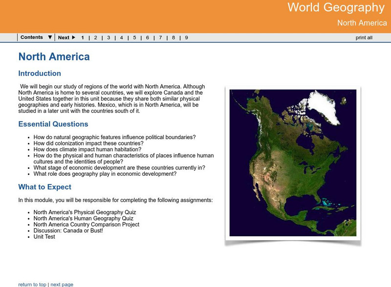
Ga Virtual Learning: World Geog: North America: The United States and Canada
World Geography learning module on the United States and Canada explores similarities and differences in the population, climate, resources and evolution of the two countries.
World Geography Games
World Geography Games: Countries of North America
Test your knowledge of the countries of North American with this interactive.
Read Works
Read Works:north America:comparing Data From Different Countries Around the World
[Free Registration/Login Required] A chart with land and population data from Canada, the United States of America, the United Kingdom, and Japan. A question sheet is available to help students build skills in reading comprehension.
Central Intelligence Agency
Cia: World Factbook: Regional and World Maps
Maps of major areas of the world can be downloaded here. The maps have excellent detail and are in color.
Read Works
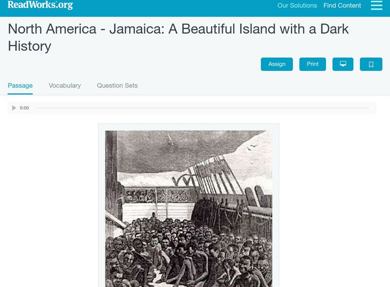
Read Works: North America Jamaica: A Beautiful Island With a Dark History
[Free Registration/Login Required] An informational text about Jamaica and its history of slavery. A question sheet is available to help students build skills in reading comprehension.
SMART Technologies
Smart: World Map
This lesson features a world map with labeled countries, a global map, and an interactive map of the seven continents.
World Geography Games
World Geography Games: Capitals of America
Match the country in the Americas with its capital city.
Ducksters
Ducksters: Geography Games: Flags of North America
Play this fun geography map game to learn about the flags of the countries of North America.
World Geography Games
World Geography Games: Us States
Identify each state on a US map as its name is presented.
University of Texas at Austin
University of Texas: Restoring Women to World Studies [Pdf]
In much of the social studies-especially courses focused on world history, geography, and culture-there has been a long-standing awareness that the experience of women has been left out of the narrative. Recent changes in state,...
Enchanted Learning
Enchanted Learning: Geography
At this site from Enchanted Learning, you can take a quiz, printout a map of the United States of America, and see where the Middle East is located in the world. Links are also provided for additional information.
Read Works
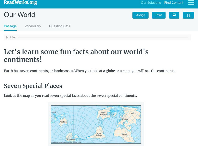
Read Works: Our World
[Free Registration/Login Required] Students read facts about seven continents. A question sheet is available to help students build skills in classifying and categorizing.
World InfoZone
World Infozone: Canada
Resource with background and current information about Canada which is in North America. Content includes geography, environment, architecture, religion, food, history, economy, arts, sports, and news. Be sure to look at the fact sheet...
Enchanted Learning
Enchanted Learning: The Continents
Brightly colored printouts, maps, and graphics on the greatest land masses on earth. See how continental drift works, look up extremes, label maps, learn about latitude, longitude and other geography terms. Teachers will find a Landforms...
Other
Kids World Travel Guide: Continent Facts
Provides interesting and fun facts on the continents of the world.
BBC
Bbc: News: Country Profile: Canada
The BBC provides many great facts about the second largest country in the world, Canada. You can listen to the national anthem, learn about its leader, view a timeline of key events, and link to national media agencies.
Curated OER
Carver, Jonathan 1781, New Map of North America
"The David Rumsey Historical Map Collection focuses on rare 18th and 19th century North and South America cartographic history materials. Historic maps of the World, Europe, Asia and Africa are also represented. The collection categories...
Other
The David Rumsey Historical Map Collection
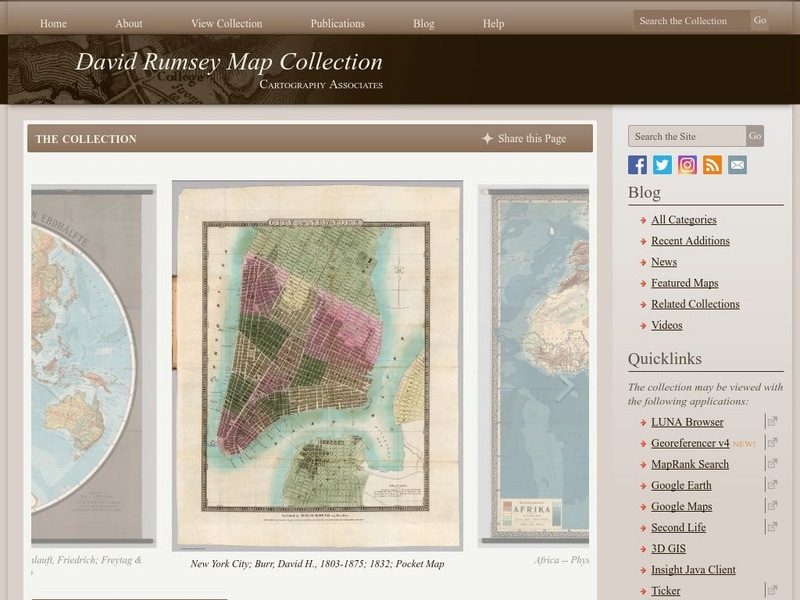
"The David Rumsey Historical Map Collection focuses on rare 18th and 19th century North and South America cartographic history materials. Historic maps of the World, Europe, Asia, and Africa are also represented. The collection...


