Curated OER
Great North
Students use maps to locate the Arctic Circle, the North Pole and Northern Europe. They draw and label countries within the Arctic Cirlce and identify the groups of people who live there. They also watch and answer questions about the...
University of California
The Civil War: The Road to War
The United States Civil War resulted in the highest mortality rate for Americans since the nation's inception. Delve deeper into the causes for the drastic separation of states with a history lesson plan that features analysis charts,...
Curated OER
Regions of the US: Gulf Stream, States and Their Capitals
Fifth graders identify one way of dividing the US into geographical regions and then consider alternate ways of doing the same. They locate each of the fifty states and their capitals on a map. They research the Gulf Stream region.
Curated OER
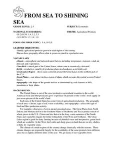
FROM SEA TO SHINING SEA
Identify agricultural products grown in each region of the country.
Discuss how geography affects what is grown or raised in a particular area.1. Hand out a copy of the two activity sheets "Food From Sea to Shining Sea" to each student....
Curated OER
Early Arkansas Geography
Seventh graders locate and describe historical Arkansas while using a historical map.
Stanford University
Great Plains Homesteaders
"Westward, ho!" may have been their cry in spite of the hardships. Using a series of photographs by Solomon D. Butcher of those who ventured west, class members consider what life was like in the 1800s for those who embarked on the...
Curated OER
Burp Under the Ice
Students examine the impact of climate warming on Arctic methane deposits. They identify natural methane processes and describe how this contributes to species extinction. They write reports on their findings.
Curated OER
Mapping Baseball
Learners research how climate, distance, population shifts and immigration have influenced American baseball. They also consider how players from other countries have made their mark on American baseball.
Curated OER
Cacao Tree Geography
Learners use a map to learn about where chocolate comes from. In this lesson on the cacao tree, students locate various regions where the cacao tree grows. They will discuss why the cacao tree grows more favorably in particular climates...
Curated OER
Ecoregions of Texas
Seventh graders discuss why hunter-gatherers might have favored certain areas in which to live. In pairs, they research specific regions to examine in depth. Students present their eco-region vegetation findings (in this case Central...
Curated OER
My Summer Vacation
Students study the United States geography using Google Earth. In this U.S. geography lesson, students create travel journals about five U.S. geographical locations. Students research the human and physical characteristics for each region.
Curated OER
Alaska
In this Alaska worksheet, students complete 6 pages of readings and questions about the state of Alaska. Included are general facts, First Nation groups, European arrival, industry and people. Each page has a short text and 6 multiple...
Curated OER
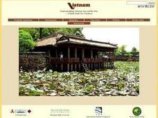
Understanding Modern Vietnam Through the Five Themes of Geography
Young scholars explore Vietnam and prepare a studenT book about Vietnam using the five themes of Geography. These books be used to teach a younger classroom about Vietnam, as part of a service-learning project in our school.
Curated OER
Natural Disasters and the Five Themes of Geography
Have your class do research on natural disasters and create a presentation using this resource. In completing this activity, learners apply the five geography themes to their research. They write a paper describing their results. It's a...
Curated OER
History and Government of the United States
In this U.S. worksheet, students take notes in a graphic organizer as they read several passages, then answer four comprehension questions.
Curated OER
Understanding Canadian Weather Extremes
Students research and analyze the causes and sources of Canada's extreme weather conditions. They conduct an experiment, complete a worksheet and predict the most likely locations for extreme weather conditions.
Curated OER
Children's Literature Across the Curriculum Ideas-The Christmas Miracle of Jonathan Toomey
Pupils read The Christmas Miracle of Jonathan Toomey by Susan Wojacieckowski. They complete a variety of cross-curricular activities surrounding the Christmas holiday. Included are reading, art, math, science, writing, social studies,...
Curated OER
Rapid Mycological Assessment
Students examine types of mycology methods. They practice using new vocabulary and answer key questions. They complete a field survey and analyze their results.
Curated OER
Global Warming Is Human Made
In this environmental awareness worksheet, students read an article about the causes of global warming. Students then answer seven true or false questions, 10 10 synonym matching questions, and ten phrase matching questions based on the...
PBS
Pbs Learning Media: North American Monsoon
NASA tracked rainfall and soil moisture for a three-month period in 1993 to confirm that these rain patterns were indeed a monsoon. Watch this animation to see the relationship between soil moisture and rainfall in the Southwest U.S. By...
Climate Zone
Climate in Mexico
Tables for the different climate regions in Mexico show the average monthly temperature, rainfall and snowfall in this North American country. General geographical information and a map are also included.
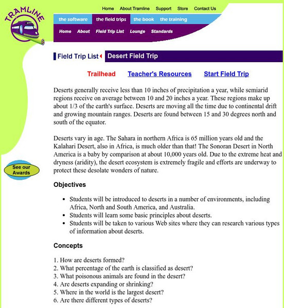
Tramline
A Desert Virtual Field Trip
Travel with your students on a virtual field trip and explore the deserts of the world! This is site is interactive and informative.
Curated OER
Etc: Maps Etc: Mexico, Central America, and the West Indies, 1898
A map from 1898 of Mexico, Central America and the West Indies. The map includes an inset map of Cuba and the Isthmus of Nicaragua. "The surface of the Rocky Mountain highland in Mexico is quite similar to that of the great plateau...


