Other
The Woodland/ Algonquian Tribes Before 1500 (Map)
A Map of the geographic regions of the various Native American tribes in northeastern North America.
Science Education Resource Center at Carleton College
Serc: Analyzing Plate Motion Using Earth Scope Gps Data
In this chapter, you will access Global Positioning System (GPS) data from the Plate Boundary Observatory (PBO) and analyze the data in a spreadsheet to measure the motion of GPS stations in the Pacific Northwest. From your analyses, you...
Nations Online Project
Nations Online: Canada
Features a complete destination guide to Canada, a country profile, background overview, and numerous links to comprehensive information on the country's culture, history, geography, economy, environment, population, news, government,...
University of Virginia
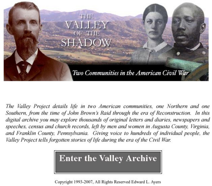
Virginia Center for Digital History: The Valley of the Shadow
This is a must-have site for the study of the Civil War. Students will have access to primary documents from many sources, including: census and veteran records, letters and diaries, newspapers, and church records. This Project explores...
Other
University of Delaware: Plate Tectonics
This site is a very simple overview of plate tectonics. It includes a map of all the major plates and a diagram of the layers of the earth.
Canadian Museum of Nature
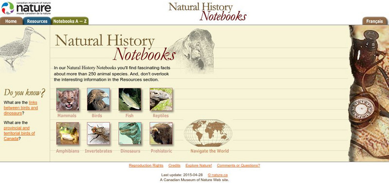
Canadian Museum of Nature: Natural History Notebooks
This site from the Canadian Museum of Nature, a natural history museum, provides short information blurbs and fun facts on over 240 different common animals categorized by type (mammals, fish, reptiles, invertebrates, amphibians,...
Other
Chicago Herpetological Society: Cottonmouth
Great color photographs link to a regional map and additional information on the Cottonmouth snake.
Curated OER
Educational Technology Clearinghouse: Maps Etc: The San Juan Boundary, 1883
A map of the Puget Sound area of North America showing the area of the boundary dispute between British Columbia and the United States. The San Juan Boundary was the source of a military conflict between the US and British North America....
Curated OER
Etc: American Rev War Campaigns in the North, 1775 1783
A map of the region involved in major northern campaigns of the American Revolutionary War. The map shows cities, towns, and forts, rivers and terrain features, and is keyed to show British and American routes during the campaigns. An...
Curated OER
Etc: Maps Etc: Mexico, Central America, and the West Indies, 1898
A map from 1898 of Mexico, Central America and the West Indies. The map includes an inset map of Cuba and the Isthmus of Nicaragua. "The surface of the Rocky Mountain highland in Mexico is quite similar to that of the great plateau...
Curated OER
Etc: Maps Etc: Distribution of American Indians, 1500
A map from 1920 of North America central Canada to northern Mexico showing the distribution and territories of the Native Americans around 1500. The boundaries are based on linguistic stock and not tribal territories. The map was...
Curated OER
Etc: Maps Etc: Mexico and Western North America, 1845
A map of Mexico in 1845, prior to the ceding of the northern territories to the United States in 1846. The map shows the territories of Oregon, Texas, and Central America under Mexican control, and the frontiers of the Missouri and...
Curated OER
Educational Technology Clearinghouse: Maps Etc: North America, 1800
A map of North America and Central America showing territorial claims and possessions in 1800. The map is color-coded to show the territories of the United States, British, Spanish, French, and Russians, and indicates areas of disputed...
Curated OER
Etc: Maps Etc: British Possessions in North America, 1775
A map showing the British possessions in North America in 1775, before the outbreak of hostilities during the American Revolutionary War. The map shows the boundaries of the British Colonies along the Atlantic, the Proclamation Line of...
Curated OER
Educational Technology Clearinghouse: Maps Etc: Vicinity of Baltimore, 1814
A sketch map of the vicinity of Baltimore during the War of 1812 showing British movements after the burning of Washington in August, 1814. The map shows the Patapsco River and Chesapeake Bay, the British fleet position in the bay, the...
Curated OER
Educational Technology Clearinghouse: Maps Etc: Nevada, 1903
A map from 1903 of Nevada showing counties and county seats, principal cities and towns, mountain ranges, and rivers. "Nevada, one of the most western of the States of the American Union, was formed from a portion of the territory...
Curated OER
Educational Technology Clearinghouse: Maps Etc: North America, 1783
A map of North America, Central America, and northern South America at the end of the American Revolutionary War (1783). The map is color-coded to show the territory of the United States at the time, British possessions in Canada,...
Curated OER
Etc: Maps Etc: Plan of the Movements at Concord, 1775
A plan of the Battle of Concord, Massachusetts, at the opening of the American Revolutionary War (April 19, 1775). Explanation of the Plan: (1) Lexington Road; (2) Hills and high land where the liberty pole stood; (3) center of the town,...
Curated OER
Educational Technology Clearinghouse: Maps Etc: British Canada, 1791
A map of eastern Canada in 1791 after the American Revolution, during the formation of British North America and the division of Quebec into the largely French-speaking Lower Canada and the Loyalist Upper Canada. The map is color-coded...
Curated OER
Etc: American Rev War Campaigns in the South, 1775 1783
A map of the portions of Virginia, North Carolina, South Carolina, and Georgia involved in major campaigns of the American Revolutionary War. The map shows cities, towns, and forts, rivers and terrain features, and is keyed to show...
Curated OER
Etc: Maps Etc: The American Indian Nations, 1776
An early map of the southeastern North America around 1776, showing the American Indian Nations of the region at the time. The map shows colonial boundaries extending from the Atlantic coast to the Mississippi River, towns, forts, and...
Curated OER
Educational Technology Clearinghouse: Maps Etc: Burgoyne's Campaign, 1777
A map of the frontiers of Canada and New York around Lake Champlain showing the Saratoga Campaign of British General John Burgoyne (1777) during the American War of Independence. The map shows Montreal, Canada, Ticonderoga on Lake...
Curated OER
Etc: The Mexican American War, 1846 1848
A map of Mexico and southwestern United States showing the seat of war during the Mexican-American War (1846-1848). The map shows the campaign routes of Kearney, Taylor, Doniphan, Wool, and Scott, with battle sites indicated by...
Curated OER
Etc: Maps Etc: Migrations of Early Native Peoples, 1889
A sketch map of North America from 1888 showing the probable lines of migration and distribution of the American Tribes, including the Esquimaux (Eskimo), West Coast Tribes, Tinne, Algonquin Tribes, and the Alleghans and Toltecans, based...


