Curated OER
Travel to Mesoamerica
Students research books, watch movies, and look on the internet to find information on ancient America, Mexico, and Central America. In this Mesoamerica lesson plan, students participate in a social studies unit on North America of the...
Curated OER
Exploring Plate Tectonics
In this plate tectonics worksheet, students complete 8 fill in the blank questions on plate boundaries, 9 short answer questions on the Earth's crust and 5 fill in the blank on continental drift. There are 3 follow questions at the end.
Curated OER
Antics in Antarctica
For this ESL editing worksheet, students will focus on error correction and editing. Students will read a short passage correcting any spelling mistakes or omissions from the article.
Curated OER
Geography Overview
Second graders look at the United States often over the next few months. Help them to see how the United States has changed as territories have become states. They may be surprised to know the areas of our country that were territories...
Lizard Point Quizzes
Lizard Point: World Oceans and Continents Quiz
Test your geography knowledge by taking this interactive quiz over the world's continents and oceans.
National Geographic
National Geographic: My Wonderful World: World Wall Maps (Pdf)
Make your own full color or black and white mosaic wall map on your own printer. World maps, continents, Asian regions, and oceans are available for downloading, printing, and assembling.
Houghton Mifflin Harcourt
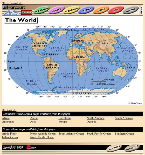
Harcourt: School Publishers: World Atlas: The World
Provides continent, country, and ocean floor maps from all over the world. Click on a continent's name to access the detailed maps which also include statistical facts on each available country.
ClassFlow
Class Flow: Maps and Globes
[Free Registration/Login Required] This flipchart reviews map and globe features. The seven continents, four oceans, and city-county-state-country relationships are also explained. Student assessment on directions is included.
SMART Technologies
Smart: World Map
This lesson features a world map with labeled countries, a global map, and an interactive map of the seven continents.
Geographyiq
Geography Iq
Detailed geographical information on any country is available at this site. Within the World Map section, you can get facts and figures about each country's geography, demographics, government, political system, flags, historical and...


