NASA
Jet Propulsion Laboratory: Global Climate Change: Sea Level Viewer
This viewer allows you to see ocean heat storage from space. These images indicate sea surface heights. Learn more about El Nino and La Nina and how they have profound effects on world climate.
Mariners' Museum and Park
Mariners' Museum: Exploration Through the Ages
A history of the world from the perspective of those who sailed the seas in great waves of exploration, from ancient times through the nineteenth century. Learn about the explorers, their ships, the tools they navigated by, and their...
National Geographic
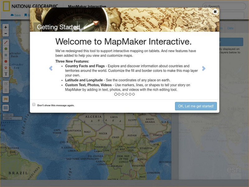
National Geographic: Map Maker Interactive and 1 Page Map Maker
This National Geographic feature allows visitors to create their own world maps complete with capitals, oceans, climate information, satellite view, personalized trail markings and more. Choose from a detailed color map or the second...
Untamed Science
Untamed Science: Biology: World Biomes: Coastal Oceans Biome
Explore photos, watch video clips, and learn about the aquatic biome located above the continental shelf. [8:37]
The Wild Classroom
The Wild Classroom: Biomes of the World: Coastal Ocean Biome
Learn about the coastal ecosystem. Find out about plants, animals, adaptations, and conservation efforts.
Smithsonian Institution
National Museum of Natural History: Ocean Planet
Detailed website that was a companion to a 1995 traveling exhibit of the Smithsonian. Links to lesson plans and other educational materials are at the bottom of the page. Enter the exhibition to explore the world of the ocean.
ClassFlow
Class Flow: Ecosystems
[Free Registration/Login Required] This flipchart explores the different ecosystems of the world, enhanced by embedded videos showing both the landscape and the plants and animals that can be found there.
National Center for Ecological Analysis and Synthesis, University of California Santa Barbara
University of California: A Global Map of Human Impacts to Marine Ecosystems
Maps in different categories such as fishing, climate change, and pollution were pulled together into a composite map that shows the impact of humans on the world's oceans. Analysis at the time (2008) showed that 40% of the world's...
A&E Television
History.com: Why the Construction of the Panama Canal Was So Difficult and Deadly
A staggering 25,000 workers lost their lives. And artificial limb makers clamored for contracts with the canal builders. In a quest to fulfill a centuries-old dream to connect the Atlantic and Pacific Oceans, the builders of the Panama...
Nobel Media AB
The Nobel Prize: The Nobel Prize in Literature 1907
At this website from the Nobel eMuseum, you can read a biography of Rudyard Kipling, which summarizes Kipling's life, education, and published works. In additon, the Presentation Speech given by C.D. af Wirsen provides a detailed...
Environmental Education for Kids
Eek!: Water Wonders
This site from the Environmental Education for Kids contains colorful and detailed information on water resources. Site covers fascinating tips and facts, as well as engaging quizzes on the wonderful world of water. Best suited for...
Other
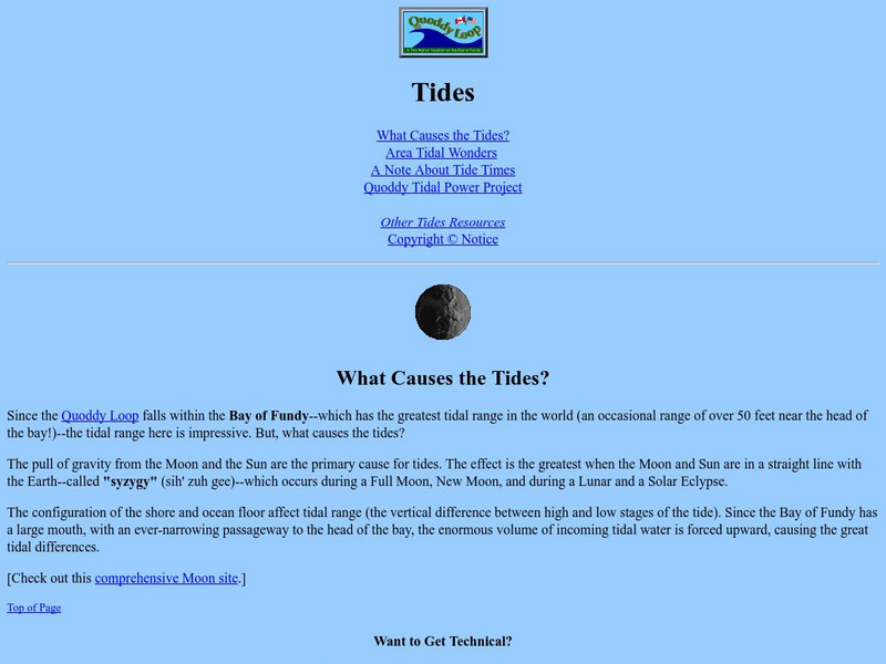
Quoddy Loop: Tides
This resource gives an in-depth description of the Quoddy Loop of Islands within the Bay of Fundy. This area has the greatest tidal range in the world. Learn what causes these massive tides.
Scholastic
Scholastic Explorers: Ocean Life
This lesson plan explores how human activity has an impact on turtles, sea otters, and dolphins in different parts of the world. Your students will read field reports from the sites and evaluate data that is offered.
CK-12 Foundation
Ck 12: Earth Science for Middle School
This digital textbook covers core earth science concepts and includes interactive features, real-world examples, videos, and study guides.
University Corporation for Atmospheric Research
Ucar: El Nino Southern Oscillation
Learn how the El Nino-Southern Oscillation (ENSO) climate fluctuation affects weather around the world.
ClassFlow
Class Flow: Name the Continents
[Free Registration/Login Required] This flipchart will allow students to label the continents and the oceans on a world map.
NOAA
Noaa: Ocean Science Careers
Study the different types of ocean related careers that are available and how you can make a difference without having to be a professional.
Natural History Museum
Natural History Museum: Hydrothermal Vents
This resource is part of a larger online exhibit on the world of oceans. The information on this page is very brief in relation to hydrothermal vents, but the site links to a full-length pdf format article on the subject. The article is...
Other
University of Delaware: On Line Expeditions
Dive into the world of the deep sea with this website! Site includes information about the missions and discoveries made by the dive team as they explore deep sea hydrothermal vents.
SMART Technologies
Smart: Final Project Map Skills
This lessons explores the different ways we can view our world along with the different parts of a map or globe.
The History Cat
The History Cat: Geography: Environment: The Incredible Shrinking Sea
Describes the economic policies of the Soviet Union that turned the Aral Sea, once the world's largest body of fresh water, into two smaller seas and desert. Includes a video. [10:29]
PBS
Pbs Learning Media: Sharks in Our Future
In this video segment from Nature, see the value that sharks can have on the tourism industry in an area. [1:41]
Curated OER
Science Kids: Science Images: Indian Ocean
This is a satellite image of the Indian Ocean, the third largest ocean in the world. For more information on the Indian Ocean and other oceans of the world, check out our fun ocean facts for kids.
Curated OER
Science Kids: Science Images: Pacific Ocean
This is a satellite image of the Pacific Ocean, the largest ocean in the world. For more information on the Pacific Ocean and other oceans of the world, check out our fun ocean facts for kids.


