Curated OER
Ohio and Erie Canal
Learners use maps, readings and photos to research the construction and effects of the Ohio and Erie Canals. They compare the region's economy before and after the canal's construction and analyze transportation routes in their own...
Curated OER
The Geography of the United States
Full of bright maps and interesting information, this presentation details U.S. Geography. Slides include basic facts about size, regions, topography, and demographics, as well as fascinating trivia about the United States, including...
Cleveland State University
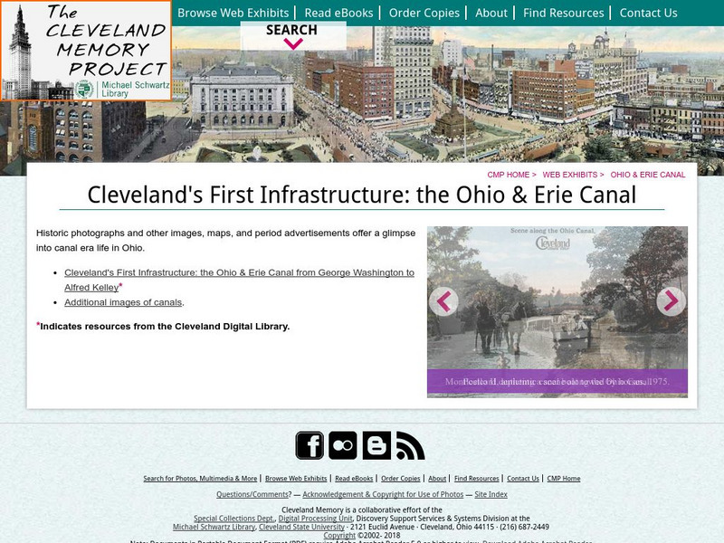
Cleveland's First Infrastructure: The Ohio and Erie Canal
This is the opening page of a site that details the planning, building and use of the Ohio and Erie Canal. Site includes letters from George Washington on the subject.
Curated OER
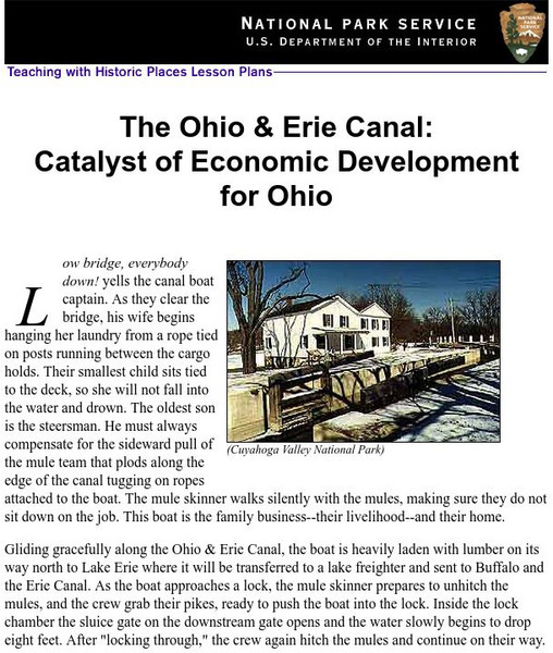
National Park Service: Teaching With Historic Places: The Ohio & Erie Canal
How were the canals used and what were the effects of this transportation system on daily life in the 19th century? This lesson plan incorporates the use of historic sites in the study of Ohio and U.S. history.
Ohio Department of Natural Resources
Ohio Dept. Of Natural Resources: History of Ohio's Canals
History of Ohio canals including Miami-Erie Canal and Ohio-Erie Canal.
Curated OER
National Park Service: The Ohio & Erie Canal
This site begins with a story to introduce the Ohio & Erie Canal. Following the story is an extensive lesson plan for students to learn about the canal's structure, use, and much more. Included in the instructional activity are links...
Other
Cleveland State University: Bibliography of Ohio Canals
Resource offers bibliography of historic and contemporary works on the Ohio & Erie Canal.
Other
Canal Society of Ohio: Ohio's Historic Canals
Site provides information on current remains of all Ohio's historic canals including the Ohio & Erie Canal. Site also provides map of canal system.
Ohio History Central
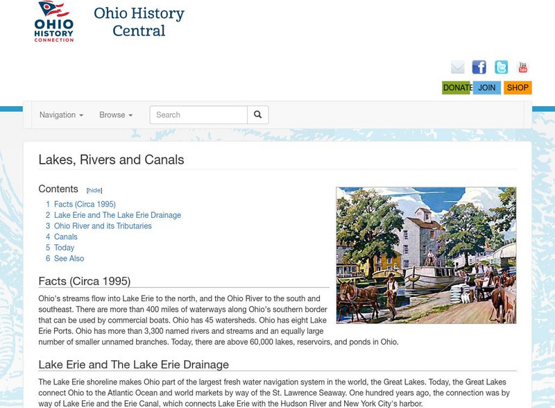
Ohio History Central: Lakes, Rives, & Canals
This site provides a brief introduction to the river system and canals of Ohio. Includes a history of the canal system, details and maps of the drainage throughout the state, and how the river systems are used today.
Independence Hall Association
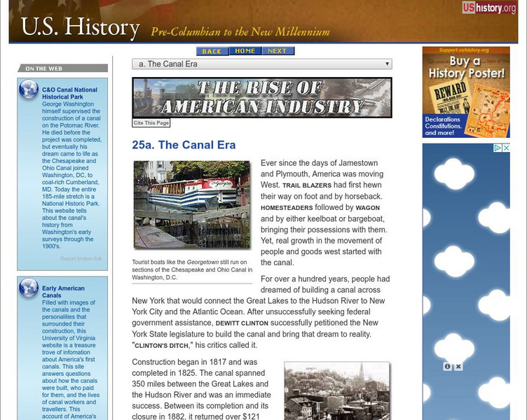
U.s. History: The Canal Era
See how the building of canals in New York, Pennsylvania, and Ohio not only opened up the west by making travelling easier and joining western territories to northern states, but also transformed cities from small burgs to major...
Curated OER
Wikipedia: National Historic Landmarks in Ohio: Miami and Erie Canal Deep Cut
Mile long segment of the Miami and Erie Canal cut as deep as 52 feet (16 m), in order to cut a trough through a blue clay ridge separating the St. Marys and Auglaize River watersheds.
PBS
Wnet: Thirteen: Wake Up, America: New Modes of Transport in 19th Century America [Pdf]
A lesson plan from the producers of the 16-episode PBS series "Freedom: A History of US" that examines how new technology and scientific advances of the nineteenth century changed America. Includes ideas for directing students through a...
Other
Zca: History of Zoar Village
A brief description of this Ohio communal society that persisted until 1898.
Digital History
Digital History: Accelerating Transportation
A thorough look at the transportation revolution that occured in the early 1800s. Read about the building of roads, canals, and the spread of railroads. Find out about the surprising opposition to improved transportation, and see how...
Curated OER
Wikipedia: National Historic Landmarks in Ohio: Ohio and Erie Canal
A four mile (6 km) section of canal, including Tinkers Creek Aqueduct.
Ohio State University
Osu History Teaching Institute: Immigration to America in the 1800s
Learners will be introduced to the reasons people came to America and the different modes of transportation used for the journey. Students will follow the journey of one man from Switzerland to Ohio.
Curated OER
Educational Technology Clearinghouse: Maps Etc: Ohio (Northern Part), 1920
A map from 1920 of the northern part of Ohio, showing principal cities and towns, counties and county seats, railroads, canals, rivers, and islands of Lake Erie. A grid reference in the margins of the map lists counties, principal...
Curated OER
Educational Technology Clearinghouse: Maps Etc: Northern Ohio, 1920
A map from 1920 of the northern part of Ohio, showing principal cities and towns, counties and county seats, railroads, canals, rivers, and islands of Lake Erie.
Curated OER
Educational Technology Clearinghouse: Maps Etc: Northern Ohio, 1920
A map from 1920 of the northern part of Ohio, showing principal cities and towns, counties and county seats, railroads, canals, rivers, and islands of Lake Erie.


