Discovering Lewis & Clark
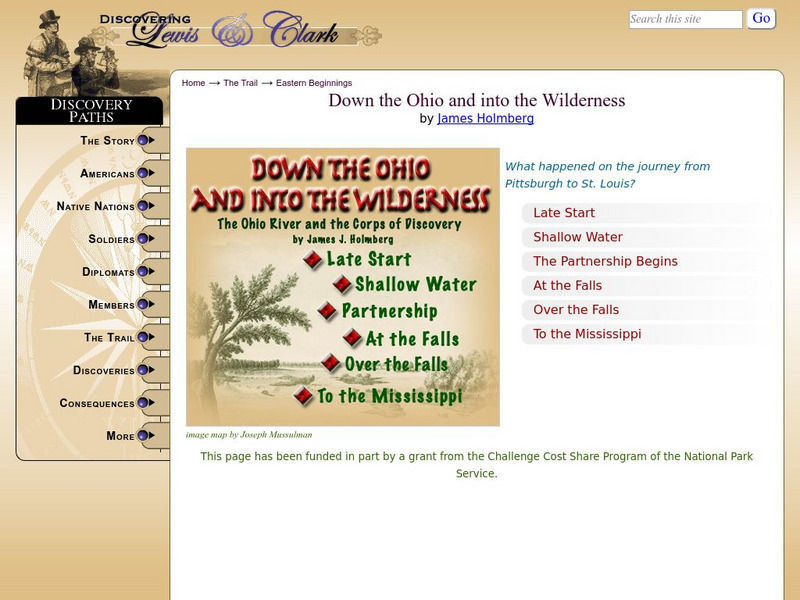
Discovering Lewis & Clark: Down the Ohio and Into the Wilderness
The expedition spent two and a half months descending the Ohio River. This journal entry describes the Corps of Discovery and their journey down that river.
US Environmental Protection Agency
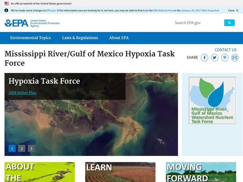
Epa: Mississippi River / Gulf of Mexico Hypoxia Task Force
Learn about the task force formed to help the public understand the causes and effects of eutrophication in the Gulf of Mexico.
Indiana University
Indiana University Bloomington: Earthquakes in Indiana [Pdf]
A detailed brochure with lots of information about the earthquakes that occur in Indiana. Discusses plate tectonics, how fault zones developed in the Mississippi River Valley, faults in Indiana, earthquakes that affected Indiana in the...
Curated OER
Educational Technology Clearinghouse: Maps Etc: Mississippi Valley, 1682
A facsimile of a map by Jean Baptiste Louis Franquelin (1682) of the Mississippi River Valley from the Great Lakes to the Gulf of Mexico showing the explorations of Robert LaSalle (Rene-Robert Cavelier, Sieur de la Salle) as far south as...
University of Groningen
American History: Outlines: Louisiana and Britain
One of Jefferson's acts doubled the area of the country. At the end of the Seven Years' War, France had ceded to Spain the territory west of the Mississippi River, with the port of New Orleans near its mouth -- a port indispensable for...
Independence Hall Association
U.s. History: Social Change and National Development
As the United States grew geographically, along with developing a national identity, there was also an increasing identity with regionalism. Read about the various regions, along with the changes in economics and religion in this period...
Library of Congress
Loc: America's Story: Louisiana Purchase
This Library of Congress timeline series discusses the Louisiana Purchase.
Curated OER
Etc: Development of the Northwest Territory in Us, 1790 1810
A map of the American Northwest Territory showing the boundary developments in 1790, 1800, and 1810. The upper left map shows the territory acquired by the United States from Britain after the Revolutionary War as established by the...
Curated OER
Educational Technology Clearinghouse: Maps Etc: The Early United States, 1790
A map of the United States in 1790 showing the territorial claims of the states at the time, and the British and Spanish possessions and territory disputes. The map shows the frontier lines or extent of settlement from the coast of Maine...
Curated OER
Etc: American Rev War Operations in the West, 1775 1782
A map of the Northwest Territory between the Allegheny Mountains and the Mississippi River and the Great Lakes to the Tennessee River showing the military operations and extent of settlement in the area during the American Revolutionary...
Curated OER
Etc: Proposed Western Colonies, 1763 1775
A map of the territory east of the Mississippi River and west of the Allegheny Mountains showing the proposed western colonies from 1763-1775. The map shows the proposed colony of Charlotiana (1763) between the Mississippi River to the...
Curated OER
Etc: Early Territory of the United States, 1783 1863
A map of the early United States west of the Mississippi River, showing the original territory after the Treaty of Paris 1783, the territory northwest of the Ohio River, the territory south of the Ohio River, the Mississippi Territory...
Curated OER
Educational Technology Clearinghouse: Maps Etc: The United States, 1800
A map of the United States in 1800 showing the territorial claims of the states at the time, the British and French possessions, and territory disputes. The map shows the frontier lines or extent of settlement from the coast of Maine to...
Curated OER
Etc: Gateway Through the Appalachians, Late 1600s Early 1700s
A map of the Appalachian Mountain region showing the three primary routes of the early 1700's through the natural barrier from the English colonies to the Mississippi Valley. "The Appalachian ranges separated the French and the English,...
Curated OER
Educational Technology Clearinghouse: Maps Etc: The United States, 1800
A map of the United States in 1800 showing the original thirteen states with the additions of Vermont (1791), Kentucky (1792), and Tennessee (1796), the State claims to western lands by South Carolina and Georgia, the extent of the...
Curated OER
Etc: Route of George Rogers Clark, 1777 1779
A map of the Ohio country where in 1778-1779 George Rogers Clark led the Illinois Campaign to capture the British stronghold at Vincennes, marking an end to British power in the west. The map shows Clark's route from Pittsburgh along the...
Curated OER
Educational Technology Clearinghouse: Maps Etc: United States, 1789
A map of the United States in 1789, showing the State territorial claims, territories, and areas of territorial dispute. The map is color-coded to show States, territories, British possessions, and Spanish possessions, and shows the...
Curated OER
Etc: Original Territory of the United States, 1783 1790
A map of the United States showing the territorial growth from 1783 to 1790. The map is color-coded to show the original territory after the American Revolutionary War, the Northwest Territory north of the Ohio River in 1787, the...
Curated OER
Etc: Clark's Campaign in the Northwest, 1778 1779
A map showing the route of Colonel George Rogers Clark's Campaign in the Northwest (1778-1779) during the American Revolutionary War. The map shows Clark's starting point at Fort Pit, and route along the Ohio River to the British Fort...
Curated OER
Etc: State Claims to Western Lands, 1783 1802
A map of the United States east of the Mississippi River showing the State claims between 1783-1802. The map shows the western territorial boundary established by the Treaty of 1783 between Britain and the United States, the State claims...
Curated OER
Etc: Maps Etc: British Possessions in North America, 1775
A map showing the British possessions in North America in 1775, before the outbreak of hostilities during the American Revolutionary War. The map shows the boundaries of the British Colonies along the Atlantic, the Proclamation Line of...
Curated OER
Etc: Maps Etc: The United States at the Close of the Revolution, 1783
A map of the United States at the close of the American Revolutionary War (1783) showing the newly formed States, and their claims to the lands west of the Allegheny Mountains to the Mississippi River. The map notes that the territory...
Curated OER
Etc: New Settlements & Proposed Comm in the West, 1775 1782
A map of the new settlements and proposed communities in the Tennessee and Kentucky country between the Allegheny Mountains and the Ohio River, from 1775 to 1782. The map shows the proposed proprietary colony of Transylvania under Judge...
Curated OER
Educational Technology Clearinghouse: Maps Etc: Flood Stations, 1916
A map from 1916 of the United States showing the cities where the government maintained flood stations at the time. "Reservoirs to hold back flood waters have been proposed, but their construction would be very expensive. The Weather...


![Indiana University Bloomington: Earthquakes in Indiana [Pdf] Handout Indiana University Bloomington: Earthquakes in Indiana [Pdf] Handout](https://d15y2dacu3jp90.cloudfront.net/images/attachment_defaults/resource/large/FPO-knovation.png)

