Curated OER
Etc: Seat of War in the West, 1861 1865
A map showing the western seat of the American Civil War (1861-1865). The map shows the principal areas of conflict from the Ohio and Missouri rivers south to the Mississippi and Alabama State Lines, showing major cities and towns,...
Curated OER
Educational Technology Clearinghouse: Maps Etc: Distribution of Population, 1790
A map of the original thirteen States in 1790 showing State lines, territories northwest and south of the Ohio River, British and Spanish possessions, and the distribution of the European-American population east of the Mississippi River...
Curated OER
Educational Technology Clearinghouse: Maps Etc: The United States, 1790
A map of the early United States showing the expansion of settlements by 1790. The map is shading-coded to show the area of settlement before 1760, and between 1760 and 1790, including the areas west of the Alleghany Mountains in the...
Curated OER
Educational Technology Clearinghouse: Maps Etc: Illinois, 1891
A map from 1891 of Illinois showing the State capital of Springfield, major cities and towns, railroads, canals, the shoreline of Lake Michigan, and the Mississippi and Ohio rivers.
Curated OER
Educational Technology Clearinghouse: Maps Etc: Illinois, 1906
A map from 1906 of Illinois showing the State capital of Springfield, major cities and towns, railroads, canals, the shoreline of Lake Michigan, and the Mississippi and Ohio rivers.
Curated OER
Educational Technology Clearinghouse: Maps Etc: Illinois, 1909
A map from 1909 of Illinois showing the State capital of Springfield, major cities and towns, railroads, canals, the shoreline of Lake Michigan, and the Mississippi and Ohio rivers.
Curated OER
Educational Technology Clearinghouse: Maps Etc: Illinois, 1919
A map from 1919 of Illinois showing the State capital of Springfield, major cities and towns, railroads, canals, the shoreline of Lake Michigan, and the Mississippi and Ohio rivers.
Curated OER
Educational Technology Clearinghouse: Maps Etc: Illinois, 1922
A map from 1922 of Illinois showing the State capital of Springfield, major cities and towns, railroads, canals, the shoreline of Lake Michigan, and the Mississippi and Ohio rivers.
Curated OER
Educational Technology Clearinghouse: Maps Etc: Illinois, 1892
A map from 1892 of Illinois showing the State capital of Springfield, counties and county seats, major cities and towns, railroads, canals, the shoreline of Lake Michigan, and the Mississippi and Ohio rivers.
Curated OER
Educational Technology Clearinghouse: Maps Etc: Illinois, 1901
A map from 1901 of Illinois showing the State capital of Springfield, counties and county seats, major cities and towns, railroads, canals, the shoreline of Lake Michigan, and the Mississippi and Ohio rivers.
Curated OER
Educational Technology Clearinghouse: Maps Etc: Illinois, 1920
A map from 1920 of Illinois showing the State capital of Springfield, counties and county seats, major cities and towns, railroads, canals, the shoreline of Lake Michigan, and the Mississippi and Ohio rivers.
Curated OER
Educational Technology Clearinghouse: Maps Etc: Illinois, 1902
A map from 1902 of Illinois showing the State capital of Springfield, major cities and towns, railroads, canals, the shoreline of Lake Michigan, and the Mississippi and Ohio rivers. An inset map shows the vicinity of Chicago.
Curated OER
Educational Technology Clearinghouse: Maps Etc: Illinois, 1920
A map from 1920 of Illinois showing the State capital of Springfield, counties and county seats, major cities and towns, railroads, canals, the shoreline of Lake Michigan, and the Mississippi and Ohio rivers. A grid reference in the...
Curated OER
Etc: Maps Etc: The Thirteen Colonies at the End of the Colonial Period, 1774
A map of the British Thirteen Colonies at the end of the colonial period in 1774. The map shows the boundaries of the colonies and notes the uncolored territory east of the Mississippi and south of the Great Lakes as claimed by Georgia,...
Curated OER
Educational Technology Clearinghouse: Maps Etc: The United States, 1830
A map of the United States in 1830 showing the states and territories, the joint-occupation with Britain in Oregon Country, and the British and Spanish possessions at the time. The map shows the westward expansion of the United States,...
Curated OER
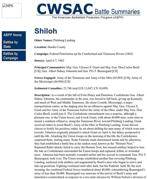
National Park Service: Cwsac: Civil War Battle Summaries: Battle of Shiloh
This site gives an extensive description of the Battle of Shiloh in the Civil War.
Curated OER
Educational Technology Clearinghouse: Maps Etc: North America, 1885
A map from 1885 of North America and Central America showing the major relief features of the region. The map shows the primary highland known as the Pacific Highland, with the Sierra Nevada and Rocky Mountains, the secondary highlands...
Curated OER
Etc: Maps Etc: The Theatre of Western Campaigns, 1861 1865
A map showing the Theatre of Western Campaigns in the American Civil War. The map includes parts of the states of Missouri, Illinois, Indiana, Ohio, Kentucky, Arkansas, Tennessee, Mississippi, Alabama, Georgia, and North Carolina, and...
Curated OER
Educational Technology Clearinghouse: Maps Etc: The War of 1812, 1812 1814
A series of maps showing the principal regions, campaigns, forts, and battle sites of the War of 1812, including: the northern seat of war in southern Canada, New York, Pennsylvania, Ohio, and the Michigan Territory; the vicinity of...
Curated OER
Educational Technology Clearinghouse: Clip Art Etc: Robert La Salle
A celebrated explorer, born in Rouen, France, Nov. 22, 1643; assassinated March 19, 1687. In 1669 he emigrated to Canada, and soon after entered upon a number of remarkable expeditions of discovery. He visited the Illinois River, Lake...


