Curated OER
Number The Stars
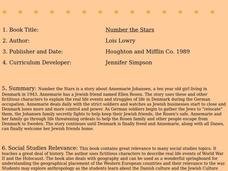
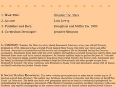
Students read a book about prejudices that occur in our daily lives. They describe characters in the book. Students discuss real life events of World War II and the Holocaust. Students simulate hiding Jews from the German soldiers. ...
Curated OER
Number the Stars
Students read Number the Stars. In this social studies lesson, students read the story and use a map of western Europe and identify the countries involved in the war. Students locate the cities of Denmark that are discussed in the story.
Curated OER
Continents
Students investigate World Geography by researching the different continents. In this Asian Geography lesson, students discuss the continent of Pangaea and color a worksheet of the continents. Students locate China on the map worksheet...
Curated OER
The Water Around Us
Students discuss importance of reading maps and knowing about the geography of the United States, and locate bodies of water on different types of maps and examine how they are used in the state or local community.
Curated OER
Where Am I?
Students apply map reading skills by locating places through the use of latitude and longitude.
Curated OER
China: Dim Sum: 3 Mapping Lessons
Fourth graders, after studying maps, draw a very large outline map of Asia and then a large map of China on it in the appropriate place. They label the appropriate information.
Miama-Dade County Public Schools
Ancient Rome
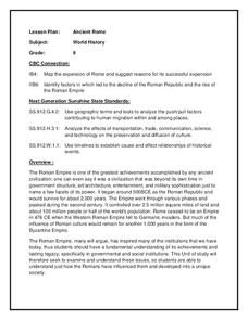
This resource outlines several general activities for a study of Ancient Rome, and includes guiding questions, a handout on the story of Romulus and Remus, and ideas for incorporating mapping and timeline activities into your review.
Curated OER
Mapping the Circulatory System
Students investigate the circulatory system in human beings. In this human body lesson, students create an outline of a human body using colored markers and butcher paper. Students use red and blue colors to simulate the oxygenated...
Curated OER
Three Mapping Activities
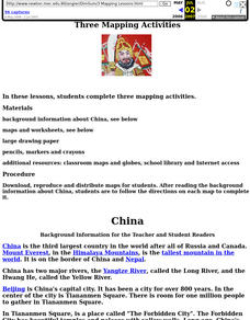
Students label three maps of China after being introduced to background information about the country. In this geography lesson, students color two maps and label various points of interest in China. Finally, students draw their own...
Curated OER
How Many Ways Can You Say Merry Christmas?
Students create a multicultural holiday bulletin board map! students research and study saying Merry Christmas in different languages. They correctly locate the countries on a world map.
Curated OER
Common Themes
Tenth graders test usefulness of a model Earth by comparing its predictions to observations in the real world. In this landforms lesson students construct an island from a contour map using model clay then analyze the landscape features...
Curated OER
Mapping Your Community
Learners define the boundaries of their community by comparing the community's official boundaries with other historical, political, physical, and perceived boundaries of the area and create a community map.
Curated OER
The Student Newspaper on World War I
Students explore WW I through the publication of a completely student-compiled newspaper.
Curated OER
20,000 Leagues Under the Sea
Guide your class on an adventure 20,000 Leagues Under the Sea with this Hampton-Brown outline. It provides educators with a guide to increase reading comprehension, critical thinking, literary analysis, and reading strategies. This...
Curated OER
I Can Find that Where? - A Study of Landforms
First graders make landform maps of the United States. In this landform lessons, 1st graders participate in a discussion of local landforms and make a landform map of the United States. They follow the teacher's directions to add plains,...
Curated OER
Penguins Around the World
Students gain an awareness of the diverse habitats of the 17 species of penguins. Standard: 4.4 Interdependence of Life Changes in an organism's habitat are sometimes beneficial to it and sometimes harmful.
Curated OER
What They Left Behind: Early Multi-National Influences in the United States
Students examine how the European voyages of discovery influence American culture even today. They map eighteenth century Europe's impact on the United States.
Curated OER
The Case of Vanishing Farmland
High schoolers consider decisions about how to use resources that are in short supply. Students role-play different perspectives in a land-use simulation, and examine land use issues around the world. This interesting instructional...
Curated OER
Mapping the Middle East
Students examine how the countries of the Middle East were created. They explore the influence of various political and geographic factors in their creation. They list the things they should consider in deciding how to draw new borders...
Curated OER
Interdependence in a Global Community
Students locate the geographic origin of a variety of products used in our society. They find countries in an atlas or on a wall map. They define the term imports and emphasize the theme of MOVEMENT and use it to explain interdependence.
Curated OER
The Great Continental Drift Mystery
Students stud the concept of Pangaea by using Wegener's clues to construct a map of the continents joined together. They determine how fossil distribution can be used to enhance the study of continental drift. They locate the...
Education World
Mystery State #29
In this United States mystery worksheet, young scholars determine which state is described by the 5 clues listed on the sheet and then mark it on the outline map of the United States.
Curated OER
Mystery State #46
In this United States mystery worksheet, students determine which state is described by the 5 clues listed on the sheet and then mark it on the outline map of the United States.
Curated OER
Mystery State #49
In this United States mystery worksheet, young scholars determine which state is described by the 5 clues listed on the sheet and then mark it on the outline map of the United States.
Other popular searches
- World Outline Maps
- World War I Outline Map
- Blank World Outline Maps
- World Outline Political Map
- World Climate Map Outline


