Curated OER
Liberty Ships
Pupils complete a variety of activities that go along with the study of and possible fieldtrips to see various Victory Ships along the Pacific and Atlantic coasts of the U.S.
Curated OER
International Trafficking of Women to the US
Students develop an understanding of the problems of the illegal international trafficking of women into the U.S. They locate nations where trafficking originates. They explain their solutions to the problem in short essay format.
Curated OER
Lincoln Home National Historic Site
Students investigate the community in which Lincoln and his family lived and explore how the citizens felt about him. The national issues that inspired Lincoln to act decisively in politics and that propelled him to the White House are...
Curated OER
The New Californians
Young scholars identify the groups of immigrants who came to California. They trace the route they possibly took to American on a world map. They discuss the reasons why they left their homeland and what challenges they faced once they...
Curated OER
Let's Do a Biography!
Students sequence events of a biography for a person from the District of Columbia. In this sequence of events lesson, students read about the life of Duke Ellington and sequence the events of his lifetime into a timeline activity.
Curated OER
Minuteman Missile National Historic Site
Students examine the difference between the Cold War and the "hot" wars and contrast the benefits of solid and liquid fuel ballistic missile systems of the era. The impact of the Cold War upon their communities is explored.
Curated OER
The Student Newspaper on World War I
Students explore WW I through the publication of a completely student-compiled newspaper.
National First Ladies' Library
World Starvation
Students investigate the concept of world starvation and some of the organizations that are founded in order to help solve the problem. They conduct research using a variety of resources. The information is used in order to conduct class...
abcteach
Abcteach: Maps
[Free Registration/Login Required] Find outline maps of the continents and the United States and Canada, as well as other country and city maps.
Curated OER
Etc: Maps Etc: Comparative Area of Asia and the United States, 1899
A base map from 1899 showing the relative size of Asia by superimposing an outline of the United States over it.
Curated OER
Etc: Maps Etc: Production of Coal in the United States, 1918
"Production of coal in the United States in 1918 and outlines [in red] of coal fields.
50 States
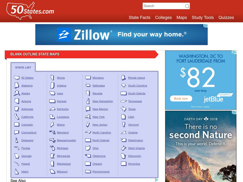
50 States: Blank Outline State Maps
All fifty states are linked here to outline maps of each. Also includes outline map of the United States.
Curated OER
Educational Technology Clearinghouse: Maps Etc: Mexico and Central America, 1910
A map from 1910 of Mexico and Central America showing political boundaries at the time, capitals and major cities, rivers, terrain and coastal features, reefs, and neighboring islands (Cuba and Jamaica). A map note shows the Panama Canal...
Curated OER
Etc: Maps Etc: Mexico, Central America, and the West Indies, 1906
A map from 1906 of Mexico, Central America, and the West Indies showing the political boundaries at the time, capitals and major cities, mountain systems, coastal features, and islands of the region. An inset map shows the entire North...


