Blackdog Media
Classic Reader: The Treasure of the Incas by g.a. Henty
Written during a time of confusion and civil war in Peru, G.A. Henty's novel "The Treasure of the Incas" follows the adventures of two heroes searching for the Incan treasure. Read the full text on this site.
Curated OER
Researchers Excavate Buried Wall at the Site of Caballete in Fortaleza Valley
Imagine a civilization in the Americas that predated the ancient Egyptians! That's what archeologist Jonathan Haas found on the coast of Peru. Read here about this remarkable discovery.
Curated OER
Anthropologist Winifred Creamer Collects a Carbon Sample
Imagine a civilization in the Americas that predated the ancient Egyptians! That's what archeologist Jonathan Haas found on the coast of Peru. Read here about this remarkable discovery.
Curated OER
Jonathan Haas of the Field Museum and Creamer
Imagine a civilization in the Americas that predated the ancient Egyptians! That's what archeologist Jonathan Haas found on the coast of Peru. Read here about this remarkable discovery.
InterKnowledge Corp.
Geographia: Latin America
This Geography portal to Latin America features maps, photos, and drawings relating to each country. Click on desired country icon to see related pages.
Wikimedia
Wikipedia: Latin America
Article on Latin America that provides a great overview of the region. Discussions include history, religion, culture, links to information about each of the countries, and more.
Read Works
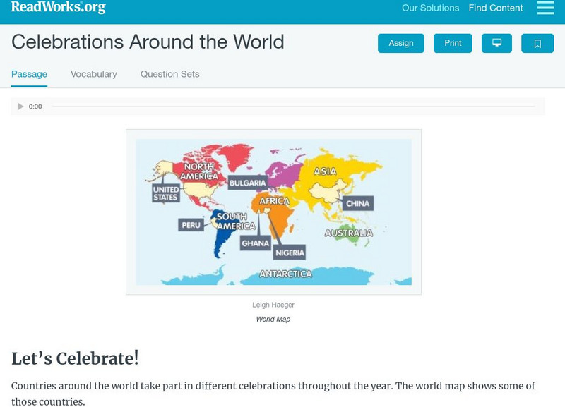
Read Works: Celebrations Around the World
[Free Registration/Login Required] Students read about festivals and celebrations from different countries around the world. A question sheet is available to help students build skills in classifying and categorizing.
Soft Schools
Soft Schools: The World of the Inca Quiz
Take an interactive, multiple choice quiz over the Inca Empire. After completing the quiz, check your score, and then revisit any incorrect question for further review.
Other
Tierramerica: Indigenous Peoples in South America
This article reveals the plight of indigenous tribal groups in South America such as the Korubos of Brazil, the Tagaeri of Ecuador, the Ayoreo of Paraguay and others.
Other
Worldpress.org: Map of South America
This interactive map lets you click on the name of a country in South America to get a more detailed view and facts about its geography, economy, media, and demographics.
Emory University
Postcolonial Studies at Emory: Isabel Allende
A brief biography of Allende along with a brief discussion of Allende as a feminist. Also includes an analysis of "The House of the Spirits."
Khan Academy
Khan Academy: Moche Culture, an Introduction
Moche architects and artists raised spectacular adobe platforms and pyramids and created exquisite ceramics and jewelry. View pictures and read descriptions of Moche artwork and culture in this essay.
Khan Academy
Khan Academy: Paracas, an Introduction
The Paracas achievements in ceramic and textile arts are among the most outstanding in the ancient Americas. View pictures and read descriptions of Paracas art and culture.
Wikimedia
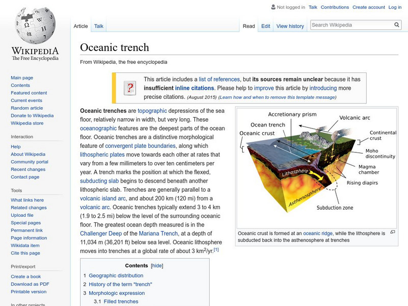
Wikipedia: Oceanic Trench
Wikipedia provides brief information on oceanic trenches, and has a hyperlinked list of major world trenches.
Other
Language Crossing: Geography of Ecuador
Features a brief description of the geography of Ecuador including the Pacific Coast, highland, Amazon region and the Galapagos Islands.
Curated OER
Lima01.jpg (21337 Bytes)
Explore and learn about Lima, Peru's incredibly rich and compelling archaeological heritage and its great natural beauty. Learn about the attractions in the country and view pictures.
Curated OER
Inca Man
This site contains the fascinating story of the excavation of Inca mummies at a site near Lima, Peru. The site also has a photo gallery of the excavation site.
Curated OER
Educational Technology Clearinghouse: Maps Etc: South America, 1903
A map from 1903 showing the national boundaries of South America at the time (note the boundaries between Peru and Bolivia, and that Columbia, Ecuador, and Panama are shown as one country). The map shows capitals and major cities, towns,...
Curated OER
Educational Technology Clearinghouse: Maps Etc: South America, 1901
A map from 1901 of South America showing the political boundaries at the time, including Columbia (extending to Costa Rica), Venezuela, Guiana (British, Dutch, and French), Ecuador, Peru, Brazil, Bolivia, Chile, Argentine Republic, and...
Curated OER
Educational Technology Clearinghouse: Maps Etc: Northern South America, 1920
A map from 1920 showing the northern part of South America, including the national borders at the time for Columbia, Venezuela, the Guianas, Ecuador, Peru, Bolivia, and the northern portions of Brazil, Argentina, and Paraguay. The map...
Curated OER
Educational Technology Clearinghouse: Maps Etc: Northern South America, 1920
A map from 1920 of the northern part of South America from the Caribbean Sea south the Rio de Janeiro. The map shows the political boundaries at the time for Panama, Columbia, Venezuela, British, Dutch, and French Guiana, Ecuador, Peru,...
Curated OER
Educational Technology Clearinghouse: Maps Etc: Northwestern South America, 1861
A map of northwestern South America from the French scientific explorations of the area in 1861. The map shows the Pacific coastal region of New Granada (Columbia), Ecuador, Peru, and the northern portion of Bolivia near Lake Titicaca....
Curated OER
Educational Technology Clearinghouse: Maps Etc: Northwestern South America, 1916
A physical and political map of northwestern South America in 1916 showing the boundaries for Columbia, Venezuela, the Guianas, Ecuador, Peru, and Bolivia at the time. The map uses color-contouring to show elevations from sea level to...
Other popular searches
- Famous People From Peru
- Peru Coloring Pages
- Famous Scientists From Peru
- Human Environment in Peru
- Peru Early Explorers
- Elements of Peruasion
- Peru Coloring Pages Map
- Peru Culture
- Rural Life in Peru
- Peruvian Rainforest
- World Music + Peru
- World Music Peru


