Curated OER
Social Studies: Looking at Regions
Quiz your 3rd graders on why we have regions. This regions quiz includes 16 questions on why and how we group areas into regions based on physical features, culture, politics or religion. A class discussion on technology completes this...
Curated OER
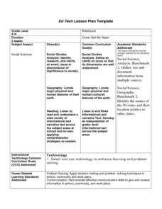
Come Visit My State!
Fourth graders conduct research on a selected state in the United States. They complete a WebQuest and conduct research on a variety of websites. Students then organize and present a visual display about their state that includes a...
Curated OER
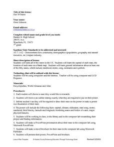
Our Fifty States
Seventh graders identify and locate all fifty states in the United States and their capitals. Individually, they research one state identifying when it became a state, its motto, song, flower and nicknames. To end the lesson, they are...
Curated OER
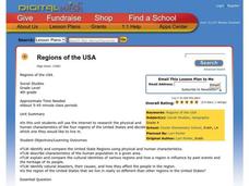
Regions of the USA
Fourth graders research the physical characteristics of the four regions of the United States. In this geography instructional activity, 4th graders research the four regions and use a quilt square organizer to record notes. Students...
Curated OER
America Will Be
Students work together to research and create different types of maps of the United States to be used as part of a geography trivia game.Groups research North American annual rainfall, climate, mountain ranges major rivers and state...
Curated OER
4th Grade Geography Multiple Choice
In this grade 4 geography instructional activity, 4th graders complete a total of 25 multiple choice questions relating to 4th grade geography concepts. An answer key is provided.
Curated OER
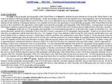
United States Geography and Topography
Fifth graders recognize the major regions of the US while reading a map. Students study the physical features of the US. Student research and report on states and their capitols.
Curated OER
Ancient Greece and Ancient Rome Unit Plan
Students make two T charts, one for Sparta and one for Athens, showing pros and cons for living in either city-state. They use the physical information from the map and the cultural captions given for Athens and Sparts to come to their...
Curated OER
Overland Trails To The West
After observing a map of trails that settlers took in the 1800s, your class will write a journal with the perspective of a settler. In their journals, they must describe the trail they traveled, geographical features they saw, states and...
Curated OER
Biggest Trees in the United States
Students use the Internet (or printed sources) to locate information. They fill in missing information on a graphic organizer (chart) and use the data to answer questions. The research skills help students to develop higher order...
Curated OER
Community Treasures (Rivers and Trees): An Integrated Curriculum Unit
Third graders demonstrate an understanding of geography and its effects on lifestyles and culture. Then they apply basic economic terms and principles
and identify the United States government and history. Students also identify and...
Curated OER
From Sea to Shining Sea
Students study the geography of the United States of America. Students write letters, create travel brochures, make maps, graph population numbers, read fiction and nonfiction selections, complete KWL charts, and watch films.
Curated OER
They Were Born Where?
Students assess where the presidents of the United States were born and analyze the role of geography in determining the outcome of presidential elections. They create graphs visualizing the birth and home states of the presidents along...
Theodore Roosevelt Association
Roosevelt's Legacy: Conservation
The legacy of Theodore Roosevelt carries through modern American politics, economics, foreign policy, and society. But his proudest and most profound efforts were in the world of conservation, and in preserving the natural beauty of...
Teach Engineering
What's Wrong with the Coordinates at the North Pole?
Here is an activity that merges technology with life skills as individuals use Google Earth to explore the differences between coordinate systems and map projections. The self-guided instructional activity is the fourth segment in a...
Curated OER
History Detectives
Fifth graders investigate aspects of the Civil War. In this history lesson plan, 5th graders complete several tasks involving the economy, culture, and geography of the Civil War. First, students are divided into groups to study primary...
Curated OER
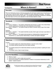
Where is Kansas?
Students explore U.S. Geography by analyzing a map. In this state vs. country lesson, students utilize a U.S. map and locate the state of Kansas before researching the history and customs of the state. Students collaborate as a class to...
Curated OER
Maps Can Help Us
First graders explore the geography of Montana by analyzing geographic maps of the area. In this Native American reservation lesson plan, 1st graders discuss the similarities and differences between reservations in the state of Montana....
Curated OER
Geography Journey
Fourth graders examine the geographic features that define places and regions and answer questions about the state of California. They discuss the components of a map legend and answer worksheet questions using a map of California as a...
Curated OER
Delaware State Map
In this geography of Delaware learning exercise, students color the map and label major cities and physical features. Students also study a second map showing the location of the state of Delaware in the United States.
Curated OER
Water: From Neglect to Respect
The goal of this collection of lessons is to make middle schoolers more aware of the ways in which they are dependent upon water to maintain their standard of living. Learners compare water use in Lesotho to water use in the United...
Curated OER
Earth from Space Maps
Students use photo images from space to create a large map of the United States or the world, find where they live and label other places they know. They are exposed to a Web resource that allows them to view photo images of Earth taken...
Curated OER
About the U.S.A.
Young scholars research the United States and discover its different climate zones, geographical features, animal life, and various cultures. Students complete a research chart using books, encyclopedias and the internet and present...
Curated OER
Learning the 50 States
Students become familiar with all 50 states over the course of ten days.


