National Institute of Educational Technologies and Teacher Training (Spain)
Ministerio De Educacion: Los Cambios en El Medio Natural I
In this unit you can learn about the internal structure of the Earth. It has 13 interactive activities.
Columbia University
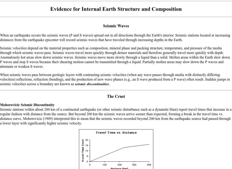
Columbia University: Evidence for Internal Earth Structure and Composition
College-level research information describes how the movement of Earth's interior causes seismic wave activity.
American Geosciences Institute
American Geosciences Institute: Earth Science Week: A Model of Three Faults
In this lesson, students learn about the different kinds of faults and plate boundaries and where they can be found. They research and report on the faults that are present in their state. They are also asked to develop models of three...
University of Kentucky
University of Kentucky: Earth Science Classroom Activities
A collection of links to activities and lessons that could be used for Earth science concepts including the foil record, creating a timeline of Earth's history, plate tectonics, dinosaurs, and the progression of life on Earth.
Concord Consortium
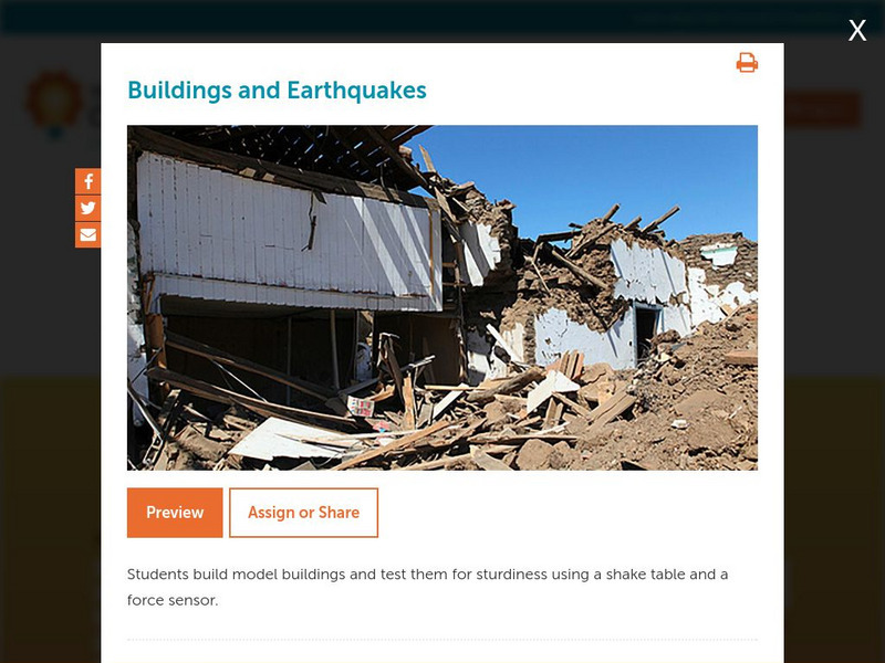
Concord Consortium: Stem Resources: Buildings and Earthquakes
Do you think you can build a house that can withstand the shaking from an earthquake? In this activity, students design and construct model building that will be tested on a shake table with a force sensor. Activity includes questions...
PBS
Pbs News Hour Extra: You Don't Need a Seismograph to Study Earthquakes
Three part lesson plan will provide students with information about earthquakes and how to predict them using various Web sites. Activities include historical background on major earthquakes, investigating mechanical waves, and...
Other
Geological Survey Program: Facts About the New Madrid Seismic Zone
It's surprising to find out that the New Madrid Seismic Zone is the most seismically active area in the United States. The facts go into the New Madrid fault very scientifically and are very detailed. Find maps and charts showing...
Curated OER
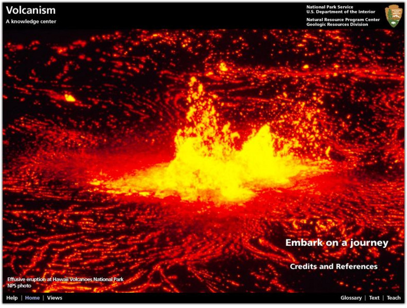
National Park Service: Explore Nature: Views: Volcanism: Embark on a Journey
A journey into the depths of a volcano teaches students about volcanic rocks, eruptions, features, and locations. Also find out how volcanologists monitor activity and conduct scientific research on eruptions.
Smithsonian Institution
National Museum of Natural History: This Dynamic Planet
Research and explore past earthquake and volcanic activity on this interactive world map. User can manipulate which notable events and other map characteristics to view depending on the type of study being done.
Exploratorium
Exploratorium: Loma Prieta, Bay Area, Earthquake 1989
This outstanding multimedia site documents the earthquake and related events that took place on October 17, 1989 in the San Francisco Bay Area.
US Geological Survey
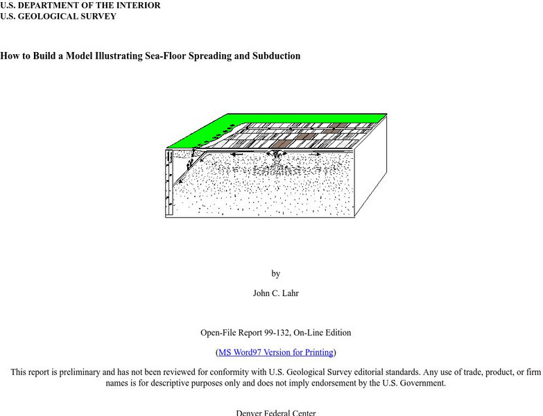
Usgs: How to Build a Model Illustrating Sea Floor Spreading
This is a comprehensive website featuring how to build a model that illustrates sea-floor spreading and subduction. It has diagrams and pictures reviewing major geological concepts.
American Geosciences Institute
American Geosciences Institute: Earth Science Week: Ring of Fire
Students identify plate boundaries as well as continents, countries, and bodies of water to become familiar with an area known as the "Ring of Fire."
TeachEngineering
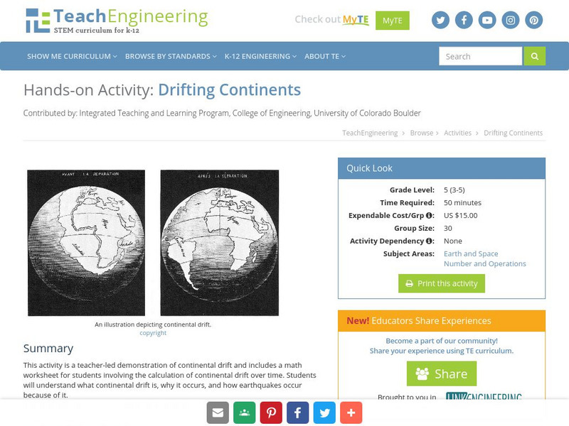
Teach Engineering: Drifting Continents
This activity is a teacher-led demonstration of continental drift and includes a math worksheet for students involving the calculation of continental drift over time. Students will understand what continental drift is, why it occurs, and...
TeachEngineering
Teach Engineering: Faulty Movement
In this activity, students are introduced to faults. They will learn about different kinds of faults and understand their relationship to earthquakes. The students will build cardboard models of the three different types of faults as...
National Earth Science Teachers Association
Windows to the Universe: The Andes Mountains
Satellite photography and brief outline information describe the Andes mountains and provide links to specific features within the landscape - Atacama desert, or evidence of volcanic activity for example.
TeachEngineering
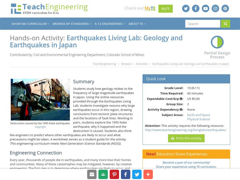
Teach Engineering: Earthquakes Living Lab: Geology and Earthquakes in Japan
Using the online resources provided through the Earthquakes Living Lab, students investigate reasons why large earthquakes occur in Japan, drawing conclusions from tectonic plate structures and the locations of fault lines.
Read Works
Read Works: Finding Fault
[Free Registration/Login Required] This informational text passage describe different active tectonic plates around the globe. This passage is a stand-alone curricular piece that reinforces essential reading skills and strategies and...
National Association of Geoscience Teachers
Nagt: Bringing the Geologic Time Scale Down to Earth in the Students' Backyard
This activity is specifically designed for a field trip to Drayton Hall, which is a historic plantation near Charleston, South Carolina. It does provide a model of how a similar activity could be designed for a local area, and there are...
Exploratorium
Exploratorium: Faultline
This site includes all things shaky--earthquakes that is. Observe real-time data regarding seismic activity all over the world. Other modules include information about history's great quakes, earthquake basics and how to recover from...
Science Education Resource Center at Carleton College
Serc: Hotspot Lesson: Mantle Plumes
A lesson that explains a theory on magma generation at hotspots called the mantle plume theory. The goal of this lesson is to introduce students to a theory that scientists are actively trying to prove or refute. Through this, students...
National Institute of Educational Technologies and Teacher Training (Spain)
Ministerio De Educacion: Los Cambios en El Medio Natural Ii
In this unit you can learn about the deformation of rocks, magmatism, plutonism and seismic waves. It has 16 interactive activities.
American Geosciences Institute
American Geosciences Institute: Earth Science Week: Geologic Maps & Earthquakes
This activity is designed to give learners practice using a geologic map to assess the likelihood and location of a particular natural hazard- earthquakes- in California.
Other
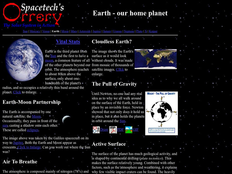
Spacetech's Orrery: Earth Our Home Planet
This site provides a very interesting overview of our home planet, Earth. Content includes a focus on the atmosphere, the pull of gravity, and the active surface.
Weather Wiz Kids
Weather Wiz Kids: Volcanos
Great resource for learning all about tornadoes. Find out how they are formed, how they erupt, the different types, and notable volcanic eruptions. Also includes safety tips, animations, and activities.


