Global Oneness Project
The Value of Ancient Traditions
Imagine having to give up cell phones, computers, and TV? What would be lost? What gained? An examination of the Drokpa, a nomadic people who live in the grasslands of Tibet, provides class members an opportunity to consider how access...
Curated OER
The Yangtze River: Lifeline of China
Pupils locate the Yangtze river on a map, and label major cities and landmarks. Students identify and interpret the diversity of the people living along the Yangtze. Pupils explain the pros and cons of the
Three Gorges Dam project.
Curated OER
The Mekong River
Junior geographers explore the region through which the Mekong flows, its pathway, the landscape, how people depend on the Mekong, and future uncertainties. They apply the five themes of geography to examine the region. They create a...
Curated OER
Traveling the Silk Road
Students take a virtual trip down the Silk Road. Using a map, they trace the location of the trade route and others that were developed later. They use different spices and goods to trace how they came to the Americas. They answer...
Curated OER
Cradles of Civilization Information Sheet
In this early civilizations worksheet, learners read 4 paragraphs about great river civilizations and then label them Nile, Tigris and Euphrates, Indus, and the Huang He River Civilizations. Student also complete a writing prompt on the...
Curated OER
China
Sixth graders become more aware of how land features, climate, and vegtation affect civilization. Students are divided into groups and research one of China's regions. They make a relief of their designated area.
Encyclopedia Britannica
Encyclopedia Britannica: Plateau of Tibet
This site from Britannica.com provides a description of the Plateau of Tibet.
Nations Online Project
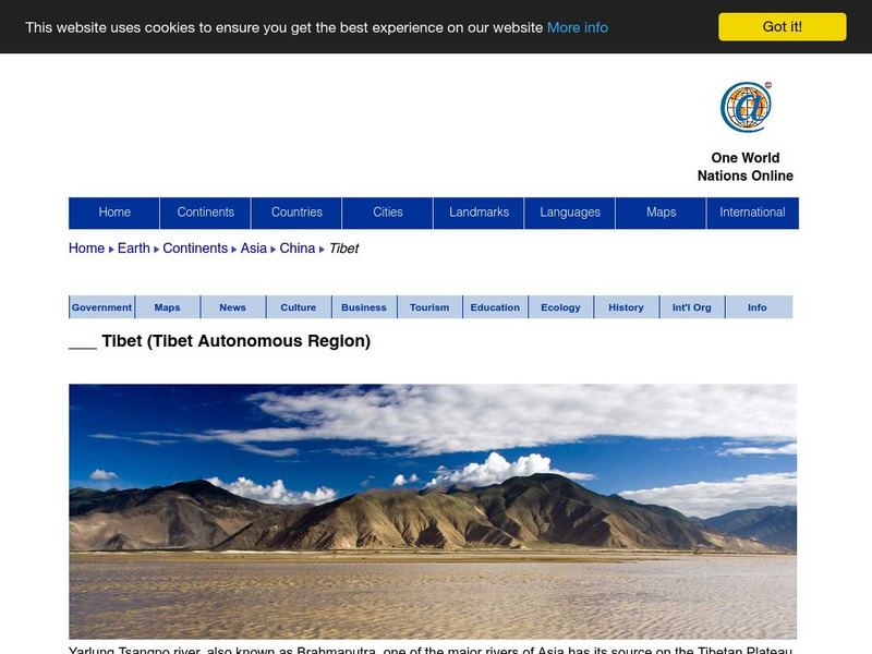
Nations Online: Tibet
Thorough reference directory for finding information on the Asian nation of Tibet which is part of the People's Republic of China. Content includes background details, a country profile, and numerous links to comprehensive information on...
Khan Academy
Khan Academy: Introduction to the Himalayas
The Himalayas are the highest mountain ranges in the world, and from them flow the major rivers of Asia. The kingdoms of Nepal and Bhutan are located along the Himalayan ranges, and the Tibetan plateau lies to their north. Although the...
Curated OER
Educational Technology Clearinghouse: Maps Etc: River Basins of Asia, 1912
A map from 1912 showing the various drainage basins across the Asian region. This map is color-coded to show watersheds draining to the Pacific Ocean in pink, to the Indian Ocean in green, to the Arctic Ocean in purple and inland basins...
Curated OER
Educational Technology Clearinghouse: Maps Etc: Land Elevations of Asia, 1906
A map from 1906 showing the general land elevations of Asia. This map is color-coded to show lands below sea level in purple, lowlands in green, areas above 1,000 feet above sea level in yellow-buff, and above 4,000 feet in red-buff. The...


