Beverly Hills High School
Mapping Napoleon's Empire at Its Height (1812)
The complicated political history of Europe becomes apparent as young historians create a map of the borders of France when Napoleon's Empire was a its height in 1812.
Curated OER
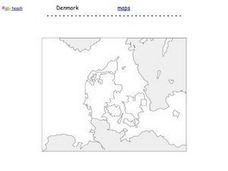
Denmark Outline Map
In this blank outline map worksheet, students explore the political boundaries of Denmark located in Europe. This map may be used in a variety of classroom activities.
Curated OER
NATO Geography & Language
The class receives background information on NATO, an atlas, and a blank world map. They color the original 1949 countries in red, the 1952 additions in green, and the 1990 additions in blue. This exercise would be a good starting point...
Edline
How Did the Unification of Germany Change the Course of World History?
Here you'll find a nice guided notes worksheet on Otto von Bismarck, which details Bismarck's plan to unify Germany, as well as asks learners to analyze his motivations and overall impact.
Curated OER
Number the Stars
Fifth graders examine threat to all people (particularly the Jews) resulting from the imposition of Nazi authority, and appreciate the courage exhibited by ordinary people acting out of conscience.
Curated OER
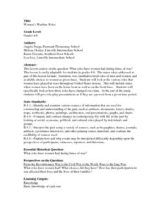
Women's Wartime Roles
Learners explore the role of women during times of war. They examine the various roles that women have played in wars throughout United States history and how they have changed over time. In addition, they role-play presentations as if...
Curated OER
Work And Resistance In America
Students investigate the history and events that surround the industrial revolution. They conduct research using secondary sources. They look reflectively at the history in order to build an idea of how the arts could have influenced the...


