United Nations
United Nations: Dept. Of Social and Economic Affairs: Population Division
United Nations information on population issues of the world. Examples include long-range population projections, international migration, and population charts and graphs.
Other
Population
Population directly effects our everyday lives in many ways. Explore the effects of population by learning about population density, population distribution, and population change.
CPALMS
Cpalms: Population of Utah
[Free Registration/Login Required] This is a formative assessment task where students are asked to estimate the population of Utah based on information given about its population density and the perimeter of its state boundaries. Samples...
CK-12 Foundation
Ck 12: Episd: Population Size, Density, and Distribution
[Free Registration/Login may be required to access all resource tools.] Students will identify and understand the significance of size, density and distribution in the population of organisms.
US Census Bureau
U.s. Census Bureau: Population Change and Distribution [Pdf]
This U.S. Census Web site gives current and past information on population changes and distribution. Must have an Adobe Reader to access.
University of Richmond
Digital Scholarship Lab: Voting America: White Population Density, 1840 2000
This map shows population change among whites in US counties, 1840 to 2000. Each dot represents 500 people. Corresponding historical events and elections are included for each period of time.
University of Richmond
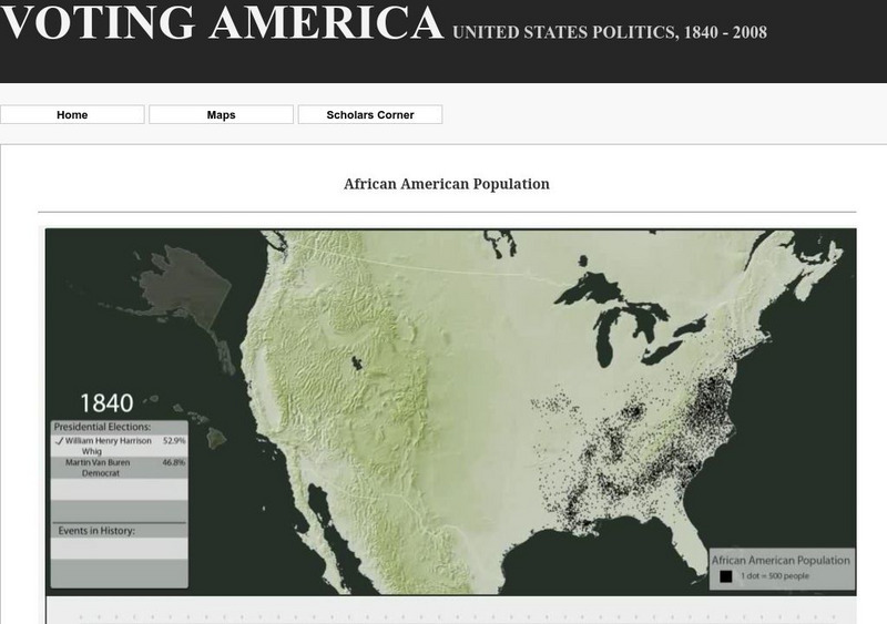
Digital Scholarship Lab: African American Population Density, 1840 2000
This interactive map shows the African-American population change in U.S. counties from 1840 to 2000. Each dot represents 500 people. Corresponding historical events are included for each period of time.
Association of Religion Data Archives
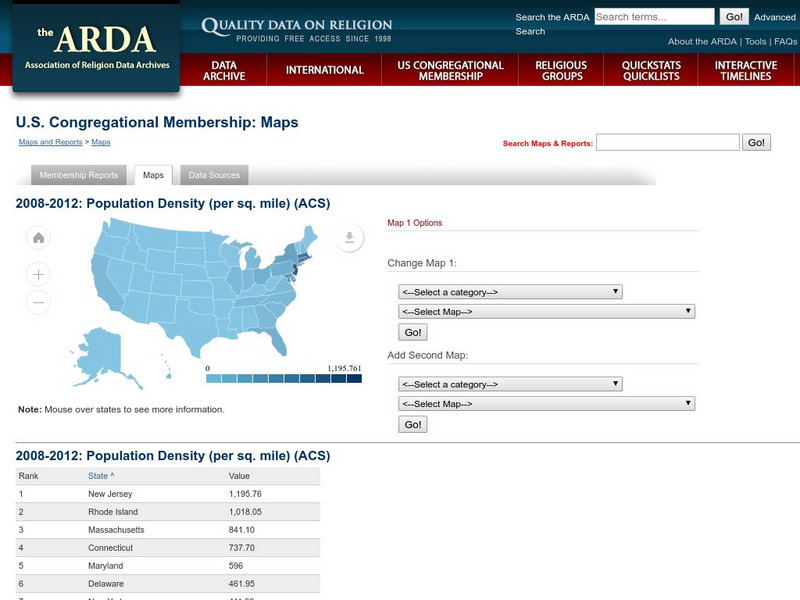
Association of Religion Data Archives: u.s. Population Density Map
Interactive tool that lets you choose a map (Census or Religion), then choose demographic or religious profiles to create a slideshow.
CK-12 Foundation
Ck 12: Biology: Population Size, Density, and Distribution
[Free Registration/Login may be required to access all resource tools.] Overview of population size, density, and distribution.
CK-12 Foundation
Ck 12: Episd: Population Growth Patterns
[Free Registration/Login may be required to access all resource tools.] Check out the patterns of population growth and recognize the exponential and logistic growth similarities and differences.
Curated OER
Map/still:population Density of Spain.
A map showing the population density of Spain from the online edition of Encyclopedia Britannica.
Palomar Community College District
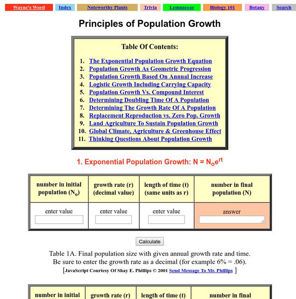
Palomar College: Principles of Population Growth
An excellent interactive review from Palomar College of population growth and how it can be described. Try out the interactive calculators of population size.
Science Education Resource Center at Carleton College
Serc: Simple Population Space Usage
Using data on population, land area, and house size, students will investigate how much space is used by people in Texas compared to the population of the world, and how much space would be required to give everyone in the world the...
National Council of Teachers of Mathematics
Nctm: Illuminations: State Data Map
Data can be displayed in a variety of ways. This interactive map of the United States shows data by degrees of color. Choose to display data such as: land area, population, population density, gas use, and much more.
Concord Consortium
Concord Consortium: African Lions: Modeling Populations
Learn to distinguish between exponential and logistic growth of populations, identify carrying capacity, differentiate density-dependent and density-independent limiting factors, apply population models to data sets and determine...
Other
Demographia
Tables of China's per capita income, gross domestic product, and population density by regions, administrative districts and other areas.
Other
Sur Del Sur: Homepage
The site from Sur del Sur provides extensive information about the current population of Argentina.
Biblioteca Virtual Miguel de Cervantes
Datos Estadisticos De Hispanoamerica
This resource has a comparison of statistical data on all Spanish-speaking countries. Countries are compared and ranked according to land mass, population, population density, annual population growth, life expectancy, infant mortality...
US Census Bureau
U.s. Census Bureau: Puerto Rico Municipios Population
The U.S. Bureau provides this extensive text file on the estimated population of Puerto Rico by municipality from 1990 to 1999.
Biblioteca Virtual Miguel de Cervantes
Biblioteca Virtual Miguel De Cervantes: Paraguay
This resource site in Spanish for the country of Paraguay. The flag and a general map of the country are included. Of particular interest is the statistical data available on land size, climate, population, life expectancy, infant...
Biblioteca Virtual Miguel de Cervantes
Biblioteca Virtual Miguel De Cervantes: El Salvador
This resource site in Spanish for the country of El Salvador. The flag and a general map of the country are included. Of particular interest is the statistical data available on land size, climate, population, life expectancy, infant...
Biblioteca Virtual Miguel de Cervantes
Biblioteca Virtual Miguel De Cervantes: Costa Rica
This resource site in Spanish for the country of Costa Rica. The flag and a general map of the country are included. Of particular interest is the statistical data available on land size, climate, population, life expectancy, infant...
Biblioteca Virtual Miguel de Cervantes
Biblioteca Virtual Miguel De Cervantes: Colombia
This resource is on the country of Colombia. The flag and a general map of the country are included. Of particular interest is the statistical data available on land size, climate, population, life expectancy, infant mortality rate, and...
Curated OER
Etc: Maps Etc: Population Density of South America, 1911
A map from 1911 of South America showing the population density across the region. The map is color-coded to show areas of population densities ranging from under 2 persons per square mile to over 256 persons per square mile. A chart at...
Other popular searches
- Population Density Maps
- Human Population Density
- Geography Population Density
- Comparing Population Density
- Biology Population Density
- Us Population Density
- Population Density in Mali
- Population Density of Cinda
- Population Density of Cina
- Animal Population Density
- Population Density Problems
- Population Density in Canada




![U.s. Census Bureau: Population Change and Distribution [Pdf] Article U.s. Census Bureau: Population Change and Distribution [Pdf] Article](https://d15y2dacu3jp90.cloudfront.net/images/attachment_defaults/resource/large/FPO-knovation.png)

